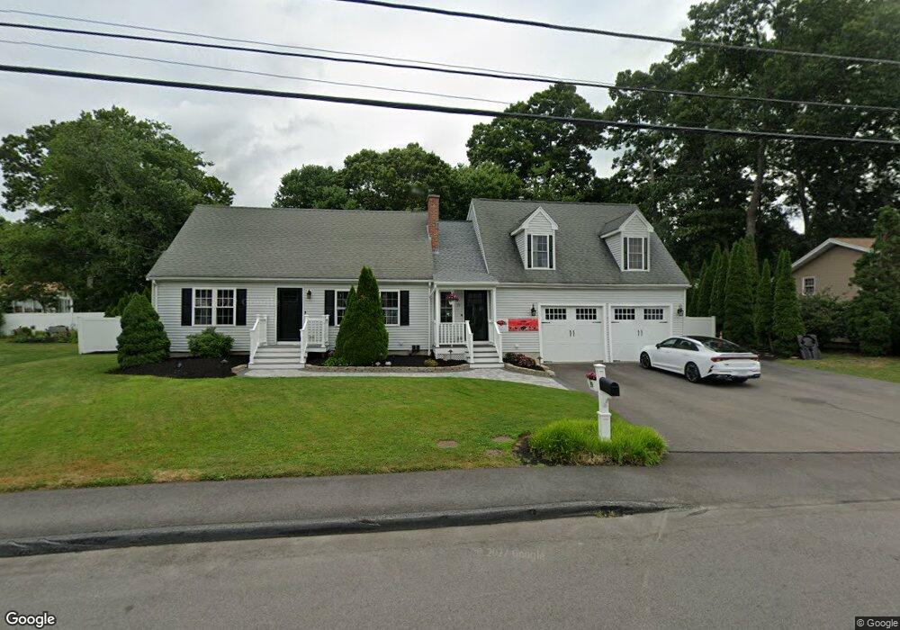
19 University Dr Milford, MA 01757
Estimated Value: $645,929 - $701,000
3
Beds
2
Baths
2,572
Sq Ft
$259/Sq Ft
Est. Value
About This Home
This home is located at 19 University Dr, Milford, MA 01757 and is currently estimated at $666,482, approximately $259 per square foot. 19 University Dr is a home located in Worcester County with nearby schools including Milford High School.
Ownership History
Date
Name
Owned For
Owner Type
Purchase Details
Closed on
Dec 1, 1995
Sold by
Larosee Janice G
Bought by
Odonnell Kevin J and Odonnel Michele
Current Estimated Value
Home Financials for this Owner
Home Financials are based on the most recent Mortgage that was taken out on this home.
Original Mortgage
$127,775
Interest Rate
7.37%
Mortgage Type
Purchase Money Mortgage
Purchase Details
Closed on
Mar 7, 1988
Sold by
Larosee Stephen G
Bought by
Larosee J G
Create a Home Valuation Report for This Property
The Home Valuation Report is an in-depth analysis detailing your home's value as well as a comparison with similar homes in the area
Home Values in the Area
Average Home Value in this Area
Purchase History
| Date | Buyer | Sale Price | Title Company |
|---|---|---|---|
| Odonnell Kevin J | $134,500 | -- | |
| Larosee J G | $12,000 | -- |
Source: Public Records
Mortgage History
| Date | Status | Borrower | Loan Amount |
|---|---|---|---|
| Open | Larosee J G | $152,000 | |
| Closed | Larosee J G | $127,775 | |
| Previous Owner | Larosee J G | $90,000 |
Source: Public Records
Tax History Compared to Growth
Tax History
| Year | Tax Paid | Tax Assessment Tax Assessment Total Assessment is a certain percentage of the fair market value that is determined by local assessors to be the total taxable value of land and additions on the property. | Land | Improvement |
|---|---|---|---|---|
| 2025 | $7,607 | $594,300 | $181,800 | $412,500 |
| 2024 | $7,430 | $559,100 | $174,600 | $384,500 |
| 2023 | $7,235 | $500,700 | $145,500 | $355,200 |
| 2022 | $7,010 | $455,500 | $134,500 | $321,000 |
| 2021 | $6,587 | $412,200 | $134,500 | $277,700 |
| 2020 | $5,974 | $374,300 | $134,500 | $239,800 |
| 2019 | $5,883 | $355,700 | $134,500 | $221,200 |
| 2018 | $5,554 | $335,400 | $129,100 | $206,300 |
| 2017 | $5,442 | $324,100 | $129,100 | $195,000 |
| 2016 | $5,274 | $307,000 | $129,100 | $177,900 |
| 2015 | $5,125 | $292,000 | $123,600 | $168,400 |
Source: Public Records
Map
Nearby Homes
- 8 Vassar Dr
- 44 Woodridge Rd
- 250 Congress St
- 5 Stanford Cir
- 20 Senate Rd
- 62 Field Pond Rd
- 54 Village Cir Unit 54
- 8 Colonial Rd
- 94 Highland St
- 9 Robin Rd
- 56 Village Cir
- 44 Silver Hill Rd
- 13 Hemlock Ln
- 14 C Country Club Ln
- 33 Country Club Ln Unit D
- 6 Geneseo Cir
- 1 Godfrey Ln Unit 1
- 1 Tyler St
- 14 Country Club Ln Unit C
- 51 Camp St
- 17 University Dr
- 4 Bowdoin Dr
- 168 Highland St
- 170 Highland St
- 16 University Dr
- 2 Bowdoin Dr
- 166 Highland St
- 6 Bowdoin Dr
- 1 Radcliffe Dr
- 15 University Dr
- 164 Highland St
- 3 Bowdoin Dr
- 8 Bowdoin Dr
- 5 Bowdoin Dr
- 174 Highland St
- 149 Highland St
- 13 University Dr
- 3 Radcliffe Dr
- 151 Highland St
- 12 University Dr