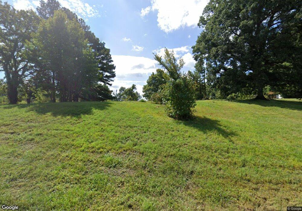
19 W John Duncan Rd Union City, TN 38261
Estimated Value: $65,000 - $158,000
2
Beds
2
Baths
1,472
Sq Ft
$62/Sq Ft
Est. Value
About This Home
This home is located at 19 W John Duncan Rd, Union City, TN 38261 and is currently estimated at $90,592, approximately $61 per square foot. 19 W John Duncan Rd is a home located in Obion County.
Ownership History
Date
Name
Owned For
Owner Type
Purchase Details
Closed on
Jan 17, 2017
Sold by
Grimes Hazeleen
Bought by
Grimes Hazeleen B and Beard Matthew C
Current Estimated Value
Purchase Details
Closed on
Jul 29, 2013
Sold by
Federal National Mortgage Association
Bought by
Grimes Hazeleen
Purchase Details
Closed on
Jun 27, 2012
Sold by
Beard Gordon Dale
Bought by
Federal National Mtg Associati
Purchase Details
Closed on
Jan 12, 1988
Bought by
Beard Gordon Dale and Beard Donna
Purchase Details
Closed on
Aug 14, 1984
Purchase Details
Closed on
Jan 2, 1984
Purchase Details
Closed on
Jan 1, 1984
Create a Home Valuation Report for This Property
The Home Valuation Report is an in-depth analysis detailing your home's value as well as a comparison with similar homes in the area
Home Values in the Area
Average Home Value in this Area
Purchase History
| Date | Buyer | Sale Price | Title Company |
|---|---|---|---|
| Grimes Hazeleen B | -- | -- | |
| Grimes Hazeleen | $31,000 | -- | |
| Federal National Mtg Associati | $62,572 | -- | |
| Beard Gordon Dale | $500 | -- | |
| -- | -- | -- | |
| -- | $10,000 | -- | |
| -- | $9,500 | -- |
Source: Public Records
Tax History Compared to Growth
Tax History
| Year | Tax Paid | Tax Assessment Tax Assessment Total Assessment is a certain percentage of the fair market value that is determined by local assessors to be the total taxable value of land and additions on the property. | Land | Improvement |
|---|---|---|---|---|
| 2025 | $127 | $9,175 | $0 | $0 |
| 2024 | $127 | $9,175 | $9,100 | $75 |
| 2023 | $127 | $9,175 | $9,100 | $75 |
| 2022 | $120 | $6,300 | $6,225 | $75 |
| 2021 | $120 | $6,300 | $6,225 | $75 |
| 2020 | $301 | $6,300 | $6,225 | $75 |
| 2019 | $293 | $15,400 | $6,225 | $9,175 |
| 2018 | $293 | $15,400 | $6,225 | $9,175 |
| 2017 | $300 | $14,975 | $6,225 | $8,750 |
| 2016 | $300 | $14,975 | $6,225 | $8,750 |
| 2015 | $300 | $14,975 | $6,225 | $8,750 |
| 2014 | $300 | $14,975 | $6,225 | $8,750 |
Source: Public Records
Map
Nearby Homes
- Tract 1 Walter Whipple Rd
- 4478 Crystal Rd
- 0 Burrus Rd
- 1535 Lattus Ln
- 370 S Thompson St
- 3694 Pete Gray Rd
- 317 W Highway 22
- 72 W Highway 22
- 874 Gum St
- 915 Gum St
- 0 Denson Rd
- 1559 Ella Groom Rd
- 4744 N Clayton Antioch Rd
- 3105 Rock Springs Extended Rd
- 3272 St Rt 925
- 1127 W Shawtown Rd
- 2942 Troy Hickman Rd
- 105 Cherry Laurel Ln
- 2011 Myron Cory Dr
- 2310 S 7th St
- 16 W John Duncan Rd
- 41 W John Duncan Rd
- 74 W John Duncan Rd
- 101 W John Duncan Rd
- 5361 Old Troy Hickman Rd
- 5503 Old Troy Hickman Rd
- 5565 Old Troy Hickman Rd
- 268 W John Duncan Rd
- 5496 Walter Whipple Rd
- 5488 Walter Whipple Rd
- 5485 Walter Whipple Rd
- 5485 Walter Whipple Rd
- Tract 2 Walter Whipple Rd
- 5103 Old Troy Hickman Rd
- 349 Woodland Mills Rd
- 5270 Walter Whipple Rd
- 5126 Old Troy Hickman Rd
- 5736 Old Troy Hickman Rd
- 5142 Walter Whipple Rd
- 4947 Old Troy Hickman Rd
