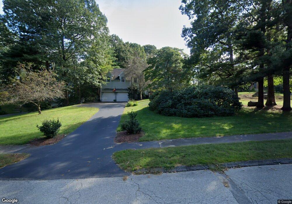
19 Walnut Hill Rd Millis, MA 02054
Estimated Value: $820,486 - $1,208,000
4
Beds
3
Baths
2,527
Sq Ft
$381/Sq Ft
Est. Value
About This Home
This home is located at 19 Walnut Hill Rd, Millis, MA 02054 and is currently estimated at $962,122, approximately $380 per square foot. 19 Walnut Hill Rd is a home located in Norfolk County with nearby schools including Clyde F Brown, Millis Middle School, and Millis High School.
Ownership History
Date
Name
Owned For
Owner Type
Purchase Details
Closed on
Feb 14, 2003
Sold by
Apone Jane E and Apone Michael J
Bought by
Mcintyre James A and Mcintyre Jane L
Current Estimated Value
Home Financials for this Owner
Home Financials are based on the most recent Mortgage that was taken out on this home.
Original Mortgage
$400,000
Outstanding Balance
$164,260
Interest Rate
5.88%
Mortgage Type
Purchase Money Mortgage
Estimated Equity
$797,862
Create a Home Valuation Report for This Property
The Home Valuation Report is an in-depth analysis detailing your home's value as well as a comparison with similar homes in the area
Home Values in the Area
Average Home Value in this Area
Purchase History
| Date | Buyer | Sale Price | Title Company |
|---|---|---|---|
| Mcintyre James A | $520,000 | -- |
Source: Public Records
Mortgage History
| Date | Status | Borrower | Loan Amount |
|---|---|---|---|
| Open | Mcintyre James A | $400,000 |
Source: Public Records
Tax History
| Year | Tax Paid | Tax Assessment Tax Assessment Total Assessment is a certain percentage of the fair market value that is determined by local assessors to be the total taxable value of land and additions on the property. | Land | Improvement |
|---|---|---|---|---|
| 2025 | $12,051 | $734,800 | $262,900 | $471,900 |
| 2024 | $11,305 | $688,500 | $244,100 | $444,400 |
| 2023 | $11,389 | $651,200 | $220,500 | $430,700 |
| 2022 | $9,774 | $517,700 | $187,800 | $329,900 |
| 2021 | $9,704 | $494,600 | $182,900 | $311,700 |
| 2020 | $9,494 | $471,400 | $170,900 | $300,500 |
| 2019 | $8,516 | $455,400 | $163,300 | $292,100 |
| 2018 | $8,206 | $455,400 | $163,300 | $292,100 |
| 2017 | $8,166 | $443,300 | $169,300 | $274,000 |
| 2016 | $7,731 | $443,300 | $169,300 | $274,000 |
| 2015 | $7,536 | $443,300 | $169,300 | $274,000 |
Source: Public Records
Map
Nearby Homes
- 50 Walnut St
- 119 Middlesex St
- 2 Towne Lyne Rd
- 4 Brookview Rd
- 6 Glen Ellen Blvd Unit 6
- 13 Hattie Ln Unit 13
- 21 Spywood Rd
- 124 Glen Ellen Blvd Unit 124
- 27 Spywood Rd
- 3 Jameson Dr Unit 3
- 6 Rivendell Ln
- 6 Beech St
- 28 Key St Unit 28
- 54 Spywood Rd
- 59 Spywood Rd
- 6 Rosenfeld Rd
- 14 Fiske Pond Rd
- 22 May Rd
- 10 April Way
- 6 April Way
- 21 Walnut Hill Rd
- 17 Walnut Hill Rd
- 15 Walnut Hill Rd
- 49 Walnut St
- 13 Walnut Hill Rd
- 24 Walnut Hill Rd
- 26 Walnut Hill Rd
- 22 Walnut Hill Rd
- 45 Walnut St
- 20 Walnut Hill Rd
- 53 Walnut St
- 43 Walnut St
- 41 Walnut St
- 11 Walnut Hill Rd
- 18 Walnut Hill Rd
- 52 Walnut St
- 48 Walnut St
- 55 Walnut St
- 39 Walnut St
- 9 Walnut Hill Rd
Your Personal Tour Guide
Ask me questions while you tour the home.