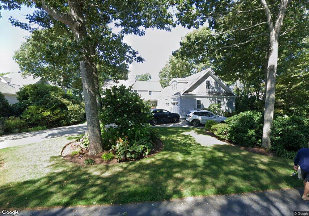
19 Waterline Dr N Mashpee, MA 2649
New Seabury-Popponesset Island NeighborhoodEstimated Value: $2,369,000 - $3,800,000
3
Beds
5
Baths
2,991
Sq Ft
$970/Sq Ft
Est. Value
About This Home
This home is located at 19 Waterline Dr N, Mashpee, MA 2649 and is currently estimated at $2,900,830, approximately $969 per square foot. 19 Waterline Dr N is a home located in Barnstable County with nearby schools including Kenneth C. Coombs School, Quashnet School, and Mashpee Middle School.
Ownership History
Date
Name
Owned For
Owner Type
Purchase Details
Closed on
Nov 3, 2004
Sold by
Oneil John P and Oneil Nancy H
Bought by
Croft Bruce T and Croft Luann M
Current Estimated Value
Home Financials for this Owner
Home Financials are based on the most recent Mortgage that was taken out on this home.
Original Mortgage
$650,000
Outstanding Balance
$322,857
Interest Rate
5.71%
Mortgage Type
Purchase Money Mortgage
Estimated Equity
$2,577,973
Create a Home Valuation Report for This Property
The Home Valuation Report is an in-depth analysis detailing your home's value as well as a comparison with similar homes in the area
Home Values in the Area
Average Home Value in this Area
Purchase History
| Date | Buyer | Sale Price | Title Company |
|---|---|---|---|
| Croft Bruce T | $1,100,000 | -- |
Source: Public Records
Mortgage History
| Date | Status | Borrower | Loan Amount |
|---|---|---|---|
| Open | Croft Bruce T | $650,000 |
Source: Public Records
Tax History Compared to Growth
Tax History
| Year | Tax Paid | Tax Assessment Tax Assessment Total Assessment is a certain percentage of the fair market value that is determined by local assessors to be the total taxable value of land and additions on the property. | Land | Improvement |
|---|---|---|---|---|
| 2025 | $16,639 | $2,513,400 | $1,299,900 | $1,213,500 |
| 2024 | $14,271 | $2,219,500 | $1,181,900 | $1,037,600 |
| 2023 | $13,832 | $1,973,200 | $1,125,400 | $847,800 |
| 2022 | $14,238 | $1,742,700 | $975,200 | $767,500 |
| 2021 | $14,890 | $1,641,700 | $965,200 | $676,500 |
| 2020 | $14,369 | $1,580,800 | $928,300 | $652,500 |
| 2019 | $14,221 | $1,571,400 | $928,300 | $643,100 |
| 2018 | $13,470 | $1,510,100 | $928,300 | $581,800 |
| 2017 | $13,803 | $1,502,000 | $928,300 | $573,700 |
| 2016 | $13,523 | $1,463,500 | $928,200 | $535,300 |
| 2015 | $13,138 | $1,442,200 | $928,200 | $514,000 |
| 2014 | $13,360 | $1,422,800 | $915,600 | $507,200 |
Source: Public Records
Map
Nearby Homes
- 50 Topping Lift
- 12 Mizzenmast
- 9 Point Rd
- 183 Monomoscoy Rd
- 43 Neshobe Rd
- 381 Great Oak Rd Unit 9
- 5 Tide Run
- 72 Walton Heath Way
- 59 Mashie Cir
- 3 Niblick Ln
- 51 Walton Heath Way
- 51 Fairway Ln
- 16 Slice Way
- 7 Blue Fin
- 42 Fells Pond Rd
- 240 Surf Dr
- 236 Glenneagle Dr
- 61 Wintergreen Rd
- 42 Overlook Cir
- 89 Troon Way
- 4 Wheelhouse Ln
- 23 Waterline Dr N
- 18 Waterline Dr N
- 10 Wheelhouse Ln
- 11 Waterline Dr N
- 31 Waterline Dr S
- 24 Waterline Dr N
- 16 Waterline Dr N
- 13 Wheelhouse Ln
- 10 Waterline Dr N
- 14 Wheelhouse Ln
- 32 Waterline Dr S
- 139 Tide Run
- 35 Waterline Dr S
- 0 Wheelhouse Ln
- 17 Wheelhouse Ln
- 4 Waterline Dr N
- 18 Wheelhouse Ln
- 133 Tide Run
- 38 Waterline Dr S