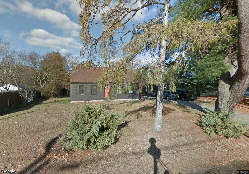
19 Wentworth Ave Plaistow, NH 03865
Estimated Value: $459,496 - $507,000
3
Beds
1
Bath
1,638
Sq Ft
$293/Sq Ft
Est. Value
About This Home
This home is located at 19 Wentworth Ave, Plaistow, NH 03865 and is currently estimated at $480,124, approximately $293 per square foot. 19 Wentworth Ave is a home with nearby schools including Pollard Elementary School, Timberlane Regional Middle School, and Timberlane Regional High School.
Ownership History
Date
Name
Owned For
Owner Type
Purchase Details
Closed on
May 18, 2021
Sold by
Walsh Sharon A and Walsh John M
Bought by
Horgan Scott J and Horgan Kori A
Current Estimated Value
Purchase Details
Closed on
Jul 16, 2014
Sold by
Maloof Richard and Maloof Robert
Bought by
Walsh Sharon A and Walsh John M
Create a Home Valuation Report for This Property
The Home Valuation Report is an in-depth analysis detailing your home's value as well as a comparison with similar homes in the area
Home Values in the Area
Average Home Value in this Area
Purchase History
| Date | Buyer | Sale Price | Title Company |
|---|---|---|---|
| Horgan Scott J | $300,000 | None Available | |
| Horgan Scott J | $300,000 | None Available | |
| Walsh Sharon A | $195,000 | -- | |
| Walsh Sharon A | $195,000 | -- |
Source: Public Records
Mortgage History
| Date | Status | Borrower | Loan Amount |
|---|---|---|---|
| Closed | Walsh Sharon A | $0 |
Source: Public Records
Tax History Compared to Growth
Tax History
| Year | Tax Paid | Tax Assessment Tax Assessment Total Assessment is a certain percentage of the fair market value that is determined by local assessors to be the total taxable value of land and additions on the property. | Land | Improvement |
|---|---|---|---|---|
| 2024 | $6,326 | $305,300 | $126,800 | $178,500 |
| 2023 | $6,820 | $305,300 | $126,800 | $178,500 |
| 2022 | $5,804 | $305,300 | $126,800 | $178,500 |
| 2021 | $5,788 | $305,300 | $126,800 | $178,500 |
| 2020 | $5,627 | $259,910 | $110,210 | $149,700 |
| 2019 | $5,539 | $259,910 | $110,210 | $149,700 |
| 2018 | $5,126 | $208,440 | $93,040 | $115,400 |
| 2017 | $4,994 | $208,440 | $93,040 | $115,400 |
| 2016 | $4,690 | $208,440 | $93,040 | $115,400 |
| 2015 | $4,990 | $206,520 | $114,120 | $92,400 |
| 2014 | $4,463 | $177,580 | $96,180 | $81,400 |
| 2011 | $4,388 | $177,580 | $96,180 | $81,400 |
Source: Public Records
Map
Nearby Homes
- 42 Plaistow Rd
- 0 Plaistow Rd Unit 73184617
- 22 W Pine St
- 8 Iris Way Unit 8
- 113 Brickett Hill Cir Unit 113
- 175 Brickett Hill Cir Unit 175
- 120 Brickett Hill Cir Unit 120
- 201 Oak Ridge Rd
- 207 Oak Ridge Rd
- 55 Ledge Rd
- 5 Maple Ave
- 5 Balsam Ct
- 1022 Main St
- 5 Whiton Place
- 28 Westville Rd
- 28 Forrest St
- 994 Main St
- 440 North Ave Unit 60
- 440 North Ave Unit 145
- 440 North Ave Unit 234
- 21 Wentworth Ave
- 17 Wentworth Ave
- 23 Wentworth Ave
- 4 Laperle Ave
- 3 Hemlock St Unit B Street
- 3 Hemlock St Unit A
- 3 Hemlock St Unit B
- 6 Laperle Ave
- 5B Hemlock St Unit 2
- 5B Hemlock St Unit 5B
- 5B Hemlock St Unit B
- 3A Hemlock St Unit A
- 3A Hemlock St Unit 3A
- 8 Laperle Ave
- 13 Wentworth Ave
- 3 Laperle Ave
- 1B Hemlock St Unit B
- 1B Hemlock St
- 1 Hemlock St Unit A
- 1 Hemlock St Unit 1B