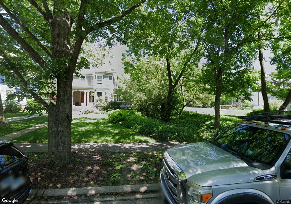
190 Addison Rd Riverside, IL 60546
Estimated Value: $297,000
Studio
--
Bath
--
Sq Ft
37,897
Sq Ft Lot
About This Home
This home is located at 190 Addison Rd, Riverside, IL 60546 and is currently estimated at $297,000. 190 Addison Rd is a home located in Cook County with nearby schools including Central Elementary School, L J Hauser Jr High School, and Riverside Brookfield High School.
Ownership History
Date
Name
Owned For
Owner Type
Purchase Details
Closed on
Oct 5, 2011
Sold by
Cleary Levin Jeffrey S and Cleary Levin Anne
Bought by
Cleary Levin Jeffrey S and Cleary Levin Anne
Current Estimated Value
Home Financials for this Owner
Home Financials are based on the most recent Mortgage that was taken out on this home.
Original Mortgage
$417,000
Interest Rate
4.12%
Mortgage Type
New Conventional
Create a Home Valuation Report for This Property
The Home Valuation Report is an in-depth analysis detailing your home's value as well as a comparison with similar homes in the area
Home Values in the Area
Average Home Value in this Area
Purchase History
| Date | Buyer | Sale Price | Title Company |
|---|---|---|---|
| Cleary Levin Jeffrey S | -- | Lakeshore Title Agency |
Source: Public Records
Mortgage History
| Date | Status | Borrower | Loan Amount |
|---|---|---|---|
| Closed | Cleary Levin Jeffrey S | $417,000 |
Source: Public Records
Tax History
| Year | Tax Paid | Tax Assessment Tax Assessment Total Assessment is a certain percentage of the fair market value that is determined by local assessors to be the total taxable value of land and additions on the property. | Land | Improvement |
|---|---|---|---|---|
| 2025 | $1,330 | $4,158 | $4,158 | -- |
| 2024 | $1,330 | $4,158 | $4,158 | -- |
| 2023 | $470 | $4,158 | $4,158 | -- |
| 2022 | $470 | $1,229 | $1,229 | $0 |
| 2021 | $452 | $1,228 | $1,228 | $0 |
| 2020 | $437 | $1,228 | $1,228 | $0 |
| 2019 | $399 | $1,134 | $1,134 | $0 |
| 2018 | $387 | $1,134 | $1,134 | $0 |
| 2017 | $375 | $1,134 | $1,134 | $0 |
| 2016 | $333 | $945 | $945 | $0 |
| 2015 | $325 | $945 | $945 | $0 |
| 2014 | $320 | $945 | $945 | $0 |
| 2013 | $295 | $945 | $945 | $0 |
Source: Public Records
Map
Nearby Homes
- 269 Shenstone Rd
- 108 E Burlington St Unit B
- 231 Bartram Rd
- 10 E Burlington St Unit 2C
- 10 E Burlington St Unit 2B
- 369 Addison Rd
- 315 Bartram Rd
- 305 Desplaines Ave
- 101 Southcote Rd
- 220 Maplewood Rd
- 236 Maplewood Rd
- 78 Pine Ave
- 367 Bartram Rd
- 410 Repton Rd
- 475 Shenstone Rd Unit 104
- 475 Shenstone Rd Unit 304
- 475 Shenstone Rd Unit 303
- 176 Riverside Rd
- 484 Shenstone Rd
- 8117 W 30th St
- 190 Addison Rd
- 180 Addison Rd
- 221 Shenstone Rd
- 194 Addison Rd
- 193 Longcommon Rd
- 181 Longcommon Rd
- 219 Shenstone Rd
- 174 Addison Rd
- 200 Addison Rd
- 197 Longcommon Rd
- 227 Shenstone Rd
- 177 Longcommon Rd
- 168 Addison Rd
- 212 Addison Rd
- 165 Longcommon Rd
- 156 Addison Rd
- 235 Shenstone Rd
- 104 N Cowley Rd
- 150 Addison Rd
- 247 Shenstone Rd
Your Personal Tour Guide
Ask me questions while you tour the home.