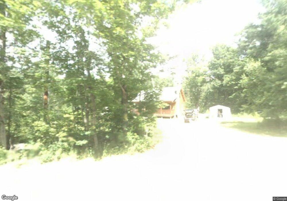
190 Allen Rd Lempster, NH 03605
Estimated Value: $278,000 - $332,707
2
Beds
1
Bath
1,100
Sq Ft
$281/Sq Ft
Est. Value
About This Home
This home is located at 190 Allen Rd, Lempster, NH 03605 and is currently estimated at $308,677, approximately $280 per square foot. 190 Allen Rd is a home located in Sullivan County.
Ownership History
Date
Name
Owned For
Owner Type
Purchase Details
Closed on
Jun 20, 2011
Sold by
Jeanne Darc Credit Uni
Bought by
Bowen Brian and Bowen Josephine
Current Estimated Value
Home Financials for this Owner
Home Financials are based on the most recent Mortgage that was taken out on this home.
Original Mortgage
$75,900
Outstanding Balance
$52,593
Interest Rate
4.74%
Mortgage Type
Purchase Money Mortgage
Estimated Equity
$256,084
Purchase Details
Closed on
Apr 7, 2011
Sold by
Medor Janice E
Bought by
Jeanne Darc Credit Uni
Create a Home Valuation Report for This Property
The Home Valuation Report is an in-depth analysis detailing your home's value as well as a comparison with similar homes in the area
Home Values in the Area
Average Home Value in this Area
Purchase History
| Date | Buyer | Sale Price | Title Company |
|---|---|---|---|
| Bowen Brian | $120,900 | -- | |
| Jeanne Darc Credit Uni | $100,000 | -- |
Source: Public Records
Mortgage History
| Date | Status | Borrower | Loan Amount |
|---|---|---|---|
| Open | Jeanne Darc Credit Uni | $75,900 |
Source: Public Records
Tax History Compared to Growth
Tax History
| Year | Tax Paid | Tax Assessment Tax Assessment Total Assessment is a certain percentage of the fair market value that is determined by local assessors to be the total taxable value of land and additions on the property. | Land | Improvement |
|---|---|---|---|---|
| 2024 | $3,852 | $133,464 | $35,264 | $98,200 |
| 2023 | $3,624 | $133,662 | $35,462 | $98,200 |
| 2022 | $3,171 | $134,073 | $35,873 | $98,200 |
| 2021 | $3,197 | $134,565 | $36,365 | $98,200 |
| 2020 | $3,339 | $134,437 | $36,237 | $98,200 |
| 2019 | $3,328 | $121,866 | $33,266 | $88,600 |
| 2018 | $3,570 | $122,040 | $33,440 | $88,600 |
| 2017 | $3,455 | $136,739 | $33,339 | $103,400 |
| 2016 | $3,370 | $136,650 | $33,250 | $103,400 |
| 2015 | $3,172 | $136,324 | $32,924 | $103,400 |
| 2014 | $3,024 | $151,357 | $43,257 | $108,100 |
| 2013 | $3,083 | $151,208 | $43,108 | $108,100 |
Source: Public Records
Map
Nearby Homes
- 0 Allen Rd
- Lot 21 Dodge Pond Ln
- 315 Gove Rd
- 144 Keyes Hollow Rd
- 6 Benway Hill Rd
- 219 Crescent Lake Rd
- 17 S Hill Dr
- 8 Hillside Dr
- 94 Cold Pond Rd
- 0 Olds Rd
- 133 Earl Ln
- 264 Olds Rd
- 189 S Hedgehog Hill Rd
- 444 Potato Hill Rd
- 23 Potato Hill Rd
- 1076 Nh Route 123a
- Lot 11-5 Ball Park Rd
- Lot 11-2 Ball Park Rd
- 17 Meadow Rd
- 275 Mica Mine Rd
- 204 Allen Rd
- 176 Allen Rd
- 212 Allen Rd
- 216 Allen Rd Unit 1
- 216 Allen Rd
- 169 Allen Rd
- 224 Allen Rd
- 236 Allen Rd
- 235 Allen Rd
- 22 Labounty Ln
- 277 Allen Rd
- 53 Streeter Rd
- 499 Lovejoy Rd
- 483 Lovejoy Rd
- 9 Sarsfield Rd
- 27 Sarsfield Rd
- 527 Lovejoy Rd
- 669 Dodge Hollow Rd
- 46 Keyes Hollow Rd
- 670 Dodge Hollow Rd
