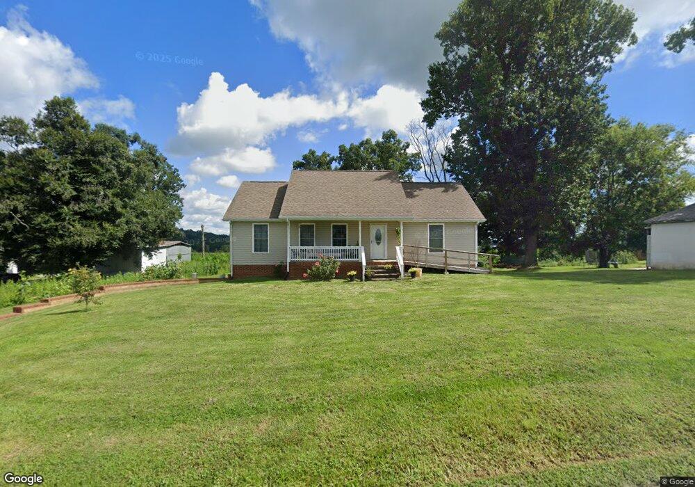
190 Cedar Crest Rd Mosheim, TN 37818
Estimated Value: $249,002 - $341,000
3
Beds
3
Baths
1,248
Sq Ft
$230/Sq Ft
Est. Value
About This Home
This home is located at 190 Cedar Crest Rd, Mosheim, TN 37818 and is currently estimated at $286,501, approximately $229 per square foot. 190 Cedar Crest Rd is a home located in Greene County with nearby schools including Mosheim Elementary School, West Greene Middle Schools, and West Greene High School.
Ownership History
Date
Name
Owned For
Owner Type
Purchase Details
Closed on
Dec 2, 2009
Sold by
D T Properties Llc
Bought by
Tullock Samuel
Current Estimated Value
Home Financials for this Owner
Home Financials are based on the most recent Mortgage that was taken out on this home.
Original Mortgage
$133,060
Outstanding Balance
$88,888
Interest Rate
5.01%
Estimated Equity
$197,613
Purchase Details
Closed on
Jan 20, 2005
Sold by
Lowery Rex
Bought by
D T Properties Llc
Purchase Details
Closed on
Jan 19, 2005
Bought by
D T Properties Llc
Purchase Details
Closed on
Jun 22, 1998
Sold by
Lowery Willford Kyle
Bought by
Lowery Gary
Create a Home Valuation Report for This Property
The Home Valuation Report is an in-depth analysis detailing your home's value as well as a comparison with similar homes in the area
Purchase History
| Date | Buyer | Sale Price | Title Company |
|---|---|---|---|
| Tullock Samuel | $130,400 | -- | |
| D T Properties Llc | $50,000 | -- | |
| D T Properties Llc | $50,000 | -- | |
| Lowery Gary | $10,000 | -- |
Source: Public Records
Mortgage History
| Date | Status | Borrower | Loan Amount |
|---|---|---|---|
| Open | Lowery Gary | $133,060 |
Source: Public Records
Tax History
| Year | Tax Paid | Tax Assessment Tax Assessment Total Assessment is a certain percentage of the fair market value that is determined by local assessors to be the total taxable value of land and additions on the property. | Land | Improvement |
|---|---|---|---|---|
| 2025 | $816 | $49,425 | $2,850 | $46,575 |
| 2024 | $816 | $49,425 | $2,850 | $46,575 |
| 2023 | $816 | $49,425 | $0 | $0 |
| 2022 | $563 | $27,950 | $2,100 | $25,850 |
| 2021 | $563 | $27,950 | $2,100 | $25,850 |
| 2020 | $563 | $27,950 | $2,100 | $25,850 |
| 2019 | $563 | $27,950 | $2,100 | $25,850 |
| 2018 | $563 | $27,950 | $2,100 | $25,850 |
| 2017 | $576 | $29,200 | $2,100 | $27,100 |
| 2016 | $547 | $29,200 | $2,100 | $27,100 |
| 2015 | $547 | $29,200 | $2,100 | $27,100 |
| 2014 | $547 | $29,200 | $2,100 | $27,100 |
Source: Public Records
Map
Nearby Homes
- 0 Iris St E
- 2205 Brown Springs Rd
- 7958 Blue Springs Pkwy
- 560 Main St
- 2440 Mount Carmel Rd
- 35 Windsor St
- 5875 Blue Springs Pkwy
- 541 Big Springs Dr
- 10 Unaka Dr
- 0 Wilkerson Rd Unit 22678949
- 0 Wilkerson Rd
- 215 Westerly Dr
- Tbd Wildwood Rd
- 00 Cw Kite Ln
- 220 Redwood Ln
- 995 Gilbreath Mill Rd
- 811 Grassy Creek Rd
- 0 Cw Kite Ln Unit 9990077
- 681 Grassy Creek Rd
- 40 Iron Bridge Rd
- 170 Cedar Crest Rd
- 40 Cedar Crest Rd
- 935 Brown Springs Rd
- 345 Cedar Crest Rd
- 325 Cedar Crest Rd
- 305 Cedar Crest Rd
- 365 Cedar Crest Rd
- 315 Cedar Crest Rd
- 0 Cedar Crest Rd
- 755 Brown Springs Rd
- 2015 Brown Springs
- 385 Cedar Crest Rd
- 1270 Brown Springs Rd
- 665 Brown Springs Rd
- 625 Brown Springs Rd
- 1270 Henard Rd
- 205 Shady Grove Ln
- 1315 Brown Springs Rd
- 530 Mount Carmel Rd
- 680 Cedar Crest Rd
Your Personal Tour Guide
Ask me questions while you tour the home.