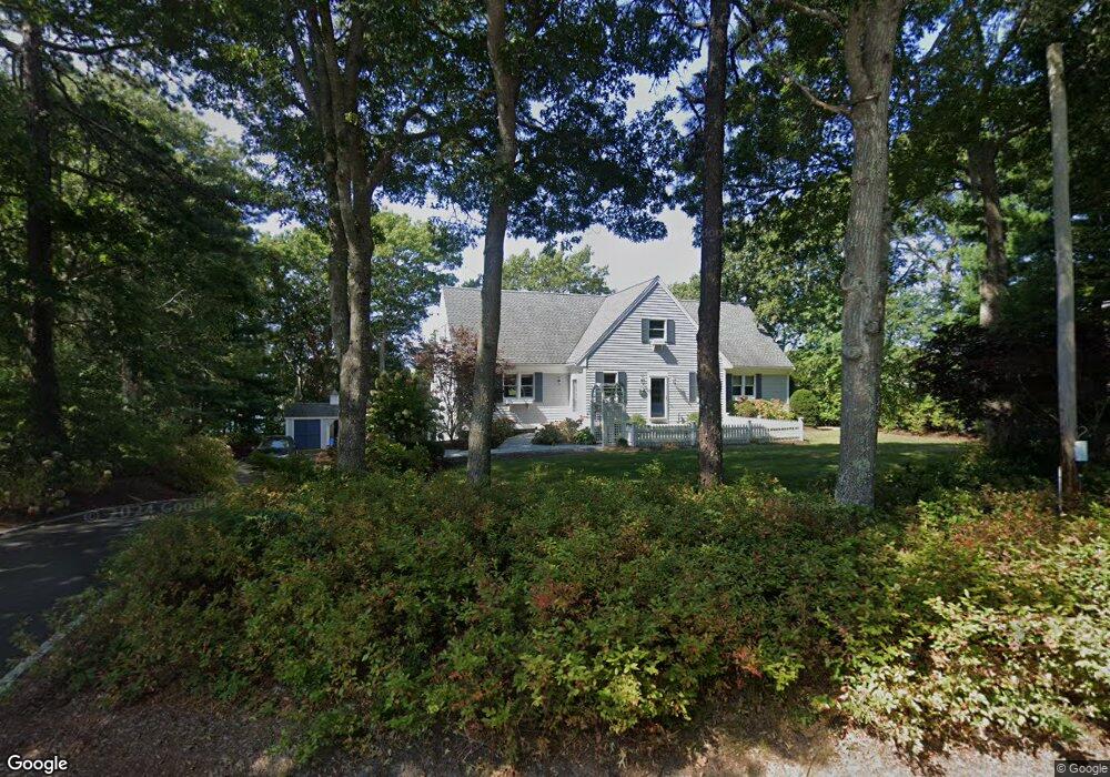
190 Clamshell Cove Rd Barnstable, MA 02635
Cotuit NeighborhoodEstimated Value: $2,193,607 - $2,386,000
About This Home
This home is located at 190 Clamshell Cove Rd, Barnstable, MA 02635 and is currently estimated at $2,282,652, approximately $713 per square foot. 190 Clamshell Cove Rd is a home located in Barnstable County with nearby schools including West Villages Elementary School, Barnstable United Elementary School, and Barnstable Intermediate School.
Ownership History
Purchase Details
Purchase Details
Purchase Details
Home Values in the Area
Average Home Value in this Area
Purchase History
We collect this data history from publicly available records. To have your information removed, we recommend requesting removal directly through your county’s website.
| Date | Buyer | Sale Price | Title Company |
|---|---|---|---|
| William R Prescott Irt | -- | -- | |
| William R Prescott Irt | -- | -- | |
| William R Prescott Irt | -- | -- | |
| Prescott William R | -- | -- | |
| Prescott William R | -- | -- | |
| Prescott William R | -- | -- | |
| Prescott Brenda R | $1,525,000 | -- | |
| Prescott Brenda R | $1,525,000 | -- | |
| Prescott Brenda R | $1,525,000 | -- |
Mortgage History
We collect this data history from publicly available records. To have your information removed, we recommend requesting removal directly through your county’s website.
| Date | Status | Borrower | Loan Amount |
|---|---|---|---|
| Previous Owner | Prescott Brenda R | $462,500 | |
| Previous Owner | Prescott Brenda R | $283,500 | |
| Previous Owner | Prescott Brenda R | $90,000 |
Tax History
| Year | Tax Paid | Tax Assessment Tax Assessment Total Assessment is a certain percentage of the fair market value that is determined by local assessors to be the total taxable value of land and additions on the property. | Land | Improvement |
|---|---|---|---|---|
| 2025 | $15,746 | $1,885,700 | $1,074,700 | $811,000 |
| 2024 | $14,600 | $1,852,800 | $1,074,700 | $778,100 |
| 2023 | $14,039 | $1,677,300 | $977,000 | $700,300 |
| 2022 | $11,630 | $1,124,800 | $528,900 | $595,900 |
| 2021 | $11,348 | $1,027,800 | $512,200 | $515,600 |
| 2020 | $11,675 | $997,000 | $512,200 | $484,800 |
| 2019 | $11,361 | $956,300 | $512,200 | $444,100 |
| 2018 | $11,754 | $989,400 | $597,700 | $391,700 |
| 2017 | $11,497 | $974,300 | $597,700 | $376,600 |
| 2016 | $11,085 | $963,100 | $586,500 | $376,600 |
| 2015 | $11,230 | $974,800 | $592,100 | $382,700 |
Map
- 67 Crawford Rd
- 85 Clamshell Cove Rd
- 28 Quaker Run Rd
- 20 Mutiny Way
- 353 Simons Narrows Rd
- 17 Dry Hollow Ln
- 640 Poponessett Rd
- 640 Poponessett Rd
- 11 Teal Cir
- 35 Spinnaker Dr W
- 14 Herring Gull Rd
- 35 Punkhorn Point Rd
- 444 Vineyard Rd
- 120 Vineyard Rd
- 6 Cedar St
- 6 Cedar St
- 140 Summersea Rd
- 190 Vineyard Rd
- 13 Cedar St
- 359 Santuit Rd
- 190 Clamshell Cove Rd
- 60 Clamshell Cove Rd
- 0 Clamshell Cove Rd
- 176 Clamshell Cove Rd
- 193 Clamshell Cove Rd
- 179 Clamshell Cove Rd
- 162 Clamshell Cove Rd
- 162 Clamshell Cove Rd
- 207 Clamshell Cove Rd
- 11 Cotuit Cove Rd
- 222 Clamshell Cove Rd
- 222 Clamshell Cove Rd
- 43 Crawford Rd
- 221 Clamshell Cove Rd
- 67 Crawford Rd
- 140 Clamshell Cove Rd
- 140 Clamshell Cove Rd
- 230 Clamshell Cove Rd
- 81 Crawford Rd
- 10 Cotuit Cove Rd
Ask me questions while you tour the home.