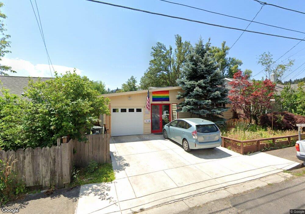
190 E 32nd Ave Eugene, OR 97405
Southeast Eugene NeighborhoodEstimated Value: $391,000 - $443,018
3
Beds
2
Baths
2,000
Sq Ft
$209/Sq Ft
Est. Value
About This Home
This home is located at 190 E 32nd Ave, Eugene, OR 97405 and is currently estimated at $417,755, approximately $208 per square foot. 190 E 32nd Ave is a home located in Lane County with nearby schools including Adams Elementary School, Spencer Butte Middle School, and South Eugene High School.
Ownership History
Date
Name
Owned For
Owner Type
Purchase Details
Closed on
May 27, 2010
Sold by
Dickman Don B
Bought by
Dickman Don B and Cook Patricia A
Current Estimated Value
Purchase Details
Closed on
Jul 3, 2007
Sold by
Cunningham Pearl D
Bought by
Dickman Don B
Home Financials for this Owner
Home Financials are based on the most recent Mortgage that was taken out on this home.
Original Mortgage
$30,750
Interest Rate
6.36%
Mortgage Type
Credit Line Revolving
Purchase Details
Closed on
May 31, 2001
Sold by
Hoover Ann L and Bryant Ann L
Bought by
Cunningham Pearl D
Create a Home Valuation Report for This Property
The Home Valuation Report is an in-depth analysis detailing your home's value as well as a comparison with similar homes in the area
Home Values in the Area
Average Home Value in this Area
Purchase History
| Date | Buyer | Sale Price | Title Company |
|---|---|---|---|
| Dickman Don B | -- | None Available | |
| Dickman Don B | $205,000 | Fidelity National Title Insu | |
| Cunningham Pearl D | $150,000 | Cascade Title Co |
Source: Public Records
Mortgage History
| Date | Status | Borrower | Loan Amount |
|---|---|---|---|
| Closed | Dickman Don B | $30,750 | |
| Open | Dickman Don B | $164,000 |
Source: Public Records
Tax History
| Year | Tax Paid | Tax Assessment Tax Assessment Total Assessment is a certain percentage of the fair market value that is determined by local assessors to be the total taxable value of land and additions on the property. | Land | Improvement |
|---|---|---|---|---|
| 2025 | $3,578 | $183,647 | -- | -- |
| 2024 | $3,534 | $178,299 | -- | -- |
| 2023 | $3,534 | $173,106 | -- | -- |
| 2022 | $3,310 | $168,065 | $0 | $0 |
| 2021 | $3,109 | $163,170 | $0 | $0 |
| 2020 | $3,120 | $158,418 | $0 | $0 |
| 2019 | $3,014 | $153,804 | $0 | $0 |
| 2018 | $2,837 | $144,976 | $0 | $0 |
| 2017 | $2,710 | $144,976 | $0 | $0 |
| 2016 | $2,642 | $140,753 | $0 | $0 |
| 2015 | $2,567 | $136,653 | $0 | $0 |
| 2014 | $2,515 | $132,673 | $0 | $0 |
Source: Public Records
Map
Nearby Homes
- 310 1/2 E 31st Ave Unit 1
- 3023 Hummingbird Ln
- 3031 Hummingbird Ln
- 2965 Olive St
- 555 Stafford Ct
- 75 W 35th Place
- 585 E 36th Ave
- 790 E 32nd Ave
- 2815 Hilyard St
- 275 E 39th Ave
- 84 W 27th Ave
- 0 E 39th Ave
- 357 W 37th Ave
- 434 E 39th Ave
- 3593 Lawrence St
- 0 Hidden Meadows
- 605 Fulvue Dr
- 320 Dellwood Dr
- 2683 Alder St
- 453 Dellwood Dr
Your Personal Tour Guide
Ask me questions while you tour the home.