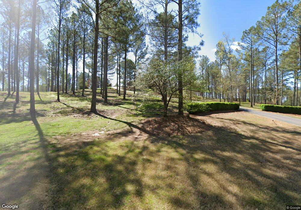
190 Robertson Rd NW Calhoun, GA 30701
Estimated Value: $421,000 - $995,405
3
Beds
4
Baths
5,144
Sq Ft
$122/Sq Ft
Est. Value
About This Home
This home is located at 190 Robertson Rd NW, Calhoun, GA 30701 and is currently estimated at $629,351, approximately $122 per square foot. 190 Robertson Rd NW is a home located in Gordon County with nearby schools including Tolbert Elementary School, Ashworth Middle School, and Gordon Central High School.
Ownership History
Date
Name
Owned For
Owner Type
Purchase Details
Closed on
Nov 16, 2020
Sold by
Jones Martha Helen
Bought by
Jones G Elliott G and Jones Julie
Current Estimated Value
Home Financials for this Owner
Home Financials are based on the most recent Mortgage that was taken out on this home.
Original Mortgage
$54,297
Interest Rate
2.8%
Mortgage Type
New Conventional
Purchase Details
Closed on
Sep 8, 2005
Sold by
Jones G Elliott
Bought by
Jones G Elliott
Purchase Details
Closed on
Sep 6, 2005
Sold by
Jones Helen F
Bought by
Jones G Elliott
Create a Home Valuation Report for This Property
The Home Valuation Report is an in-depth analysis detailing your home's value as well as a comparison with similar homes in the area
Home Values in the Area
Average Home Value in this Area
Purchase History
| Date | Buyer | Sale Price | Title Company |
|---|---|---|---|
| Jones G Elliott G | -- | -- | |
| Jones G Elliott | -- | -- | |
| Jones G Elliott | -- | -- |
Source: Public Records
Mortgage History
| Date | Status | Borrower | Loan Amount |
|---|---|---|---|
| Closed | Jones G Elliott G | $54,297 |
Source: Public Records
Tax History Compared to Growth
Tax History
| Year | Tax Paid | Tax Assessment Tax Assessment Total Assessment is a certain percentage of the fair market value that is determined by local assessors to be the total taxable value of land and additions on the property. | Land | Improvement |
|---|---|---|---|---|
| 2024 | $5,866 | $284,040 | $68,600 | $215,440 |
| 2023 | $5,462 | $268,600 | $68,600 | $200,000 |
| 2022 | $5,002 | $221,320 | $35,920 | $185,400 |
| 2021 | $4,240 | $188,200 | $35,920 | $152,280 |
| 2020 | $3,977 | $190,040 | $35,920 | $154,120 |
| 2019 | $4,698 | $191,920 | $37,200 | $154,720 |
| 2018 | $4,329 | $150,280 | $7,440 | $142,840 |
Source: Public Records
Map
Nearby Homes
- 400 Hall Memorial Rd NW
- 272 Fairview Rd NW
- 166 Hall Memorial Rd NW
- 00 Hall Memorial Rd
- 803 Riverside Dr
- 156 Cooper Ln
- 742 Riverside Dr
- 473 Covey Rise Dr NW
- Elder Plan at Riverside at Calhoun
- Birch Plan at Riverside at Calhoun
- Spruce Plan at Riverside at Calhoun
- Cedar Plan at Riverside at Calhoun
- Hazel Plan at Riverside at Calhoun
- 381 Cartecay Dr
- 260 Goat Rd NW
- 516 Mcginnis Cir
- 112 Denali Dr
- 412 Mcginnis Cir
- 0 Sugar Valley Rd NW Unit 10617200
- 208 Mcginnis Cir
- 270 Briar Ridge Rd NW
- 263 Briar Ridge Rd NW
- 239 Briar Ridge Rd NW
- 239 Briar Ridge Rd NW
- 264 Briar Ridge Rd NW
- 154 Robertson Rd NW
- 601 Hall Memorial Rd NW
- 240 Briar Ridge Rd NW
- 227 Briar Ridge Rd NW
- 589 Hall Memorial Rd NW
- 220 Briar Ridge Rd NW
- 575 Hall Memorial Rd NW
- 563 Hall Memorial Rd NW
- 216 Briar Ridge Rd NW
- 527 Hall Memorial Rd NW
- 203 Briar Ridge Rd NW
- 551 Hall Memorial Rd NW
- 103 Briar Ridge Rd NW Unit 1
- 0 Briar Ridge Rd NW Unit 7392398
- 0 Briar Ridge Rd NW Unit 20 8573392
