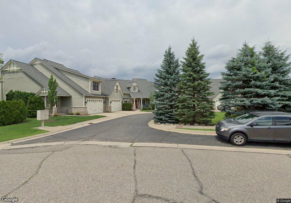
190 Water St Unit 2 Milford, MI 48381
Estimated Value: $612,000 - $784,000
3
Beds
4
Baths
3,300
Sq Ft
$207/Sq Ft
Est. Value
About This Home
This home is located at 190 Water St Unit 2, Milford, MI 48381 and is currently estimated at $681,818, approximately $206 per square foot. 190 Water St Unit 2 is a home located in Oakland County with nearby schools including Johnson Elementary School, Muir Middle School, and Christ Lutheran Christian Day School.
Ownership History
Date
Name
Owned For
Owner Type
Purchase Details
Closed on
Mar 1, 2019
Sold by
Caren Leslie A and Schmeling Lynn M
Bought by
Caren Leslie A and Schmeling Lynn M
Current Estimated Value
Home Financials for this Owner
Home Financials are based on the most recent Mortgage that was taken out on this home.
Original Mortgage
$371,200
Outstanding Balance
$148,802
Interest Rate
4.4%
Mortgage Type
New Conventional
Estimated Equity
$533,016
Purchase Details
Closed on
Jun 5, 2015
Sold by
Millpond Village Llc
Bought by
Caren Leslie A and Schmeling Lynn M
Create a Home Valuation Report for This Property
The Home Valuation Report is an in-depth analysis detailing your home's value as well as a comparison with similar homes in the area
Home Values in the Area
Average Home Value in this Area
Purchase History
| Date | Buyer | Sale Price | Title Company |
|---|---|---|---|
| Caren Leslie A | -- | None Available | |
| Caren Leslie A | $410,000 | Seaver Title Agency |
Source: Public Records
Mortgage History
| Date | Status | Borrower | Loan Amount |
|---|---|---|---|
| Open | Caren Leslie A | $371,200 |
Source: Public Records
Tax History Compared to Growth
Tax History
| Year | Tax Paid | Tax Assessment Tax Assessment Total Assessment is a certain percentage of the fair market value that is determined by local assessors to be the total taxable value of land and additions on the property. | Land | Improvement |
|---|---|---|---|---|
| 2024 | $7,394 | $265,990 | $0 | $0 |
| 2023 | $7,079 | $260,320 | $0 | $0 |
| 2022 | $9,361 | $260,560 | $0 | $0 |
| 2021 | $5,244 | $250,700 | $0 | $0 |
| 2020 | $6,538 | $232,550 | $0 | $0 |
| 2019 | $6,611 | $215,080 | $0 | $0 |
| 2018 | $6,497 | $207,050 | $0 | $0 |
| 2017 | $3,544 | $207,050 | $0 | $0 |
| 2016 | $8,279 | $202,370 | $0 | $0 |
| 2015 | -- | $205,060 | $0 | $0 |
| 2014 | -- | $194,740 | $0 | $0 |
| 2011 | -- | $112,640 | $0 | $0 |
Source: Public Records
Map
Nearby Homes
- Unit 306 Plan at 120 E. Liberty
- Unit 305 Plan at 120 E. Liberty
- Unit 304 Plan at 120 E. Liberty
- Unit 303 Plan at 120 E. Liberty
- Unit 302 Plan at 120 E. Liberty
- Unit 301 Plan at 120 E. Liberty
- Unit 206 Plan at 120 E. Liberty
- Unit 205 Plan at 120 E. Liberty
- Unit 204 Plan at 120 E. Liberty
- Unit 203 Plan at 120 E. Liberty
- Unit 201 Plan at 120 E. Liberty
- 120 E Liberty St Unit 203
- 120 E Liberty St Unit 305
- 209 Hickory St
- 124 Oakland St
- 130 River Dr Unit ABD
- 144 River Dr Unit D
- 124 River Dr Unit B
- 114 River Dr Unit A
- 519 S Main St
- 170 Water St
- 190 Water St
- 170 Water St Unit COURT
- 190 Water St Unit COURT
- 170 Water St Unit 4
- 180 Water St
- 180 Water St Unit 5
- 180 Water St Unit COURT
- 180 Water St Unit 3
- 200 Water St
- 200 Water St Unit 1
- 160 Water St
- 160 Water St Unit 5
- 216 Clinton St
- 219 Clinton St
- 113 Water St
- 222 Clinton St
- 227 Clinton St
- 204 S Main St
- 4 N Main St