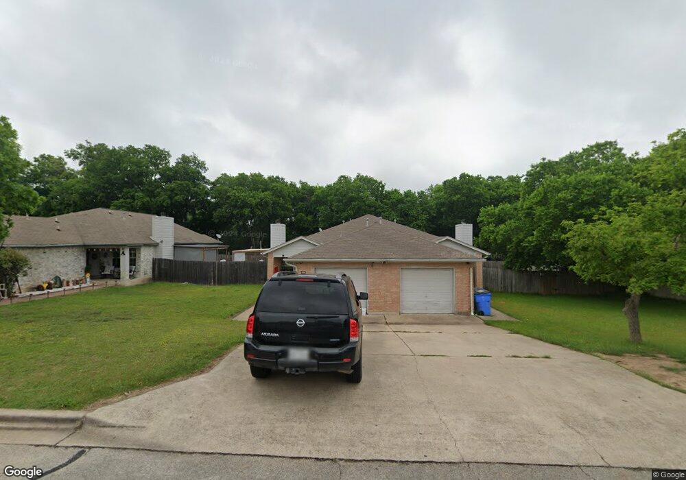
1900 Alex Ave Unit B Austin, TX 78728
Wells Branch NeighborhoodEstimated Value: $475,000 - $636,803
2
Beds
2
Baths
2,118
Sq Ft
$251/Sq Ft
Est. Value
About This Home
This home is located at 1900 Alex Ave Unit B, Austin, TX 78728 and is currently estimated at $530,601, approximately $250 per square foot. 1900 Alex Ave Unit B is a home located in Travis County with nearby schools including Northwest Elementary School, Westview Middle School, and John B Connally High School.
Ownership History
Date
Name
Owned For
Owner Type
Purchase Details
Closed on
Feb 25, 2009
Sold by
Sarrafzadeh Majid and Motie Marjan
Bought by
Le Khang Quoc and Nguyen Nghia Thi
Current Estimated Value
Purchase Details
Closed on
Aug 10, 2006
Sold by
Elmurr Nabil F and Elmurr Kathleen Nader
Bought by
Sarrafzadeh Majid
Home Financials for this Owner
Home Financials are based on the most recent Mortgage that was taken out on this home.
Original Mortgage
$170,000
Interest Rate
6.77%
Mortgage Type
Purchase Money Mortgage
Create a Home Valuation Report for This Property
The Home Valuation Report is an in-depth analysis detailing your home's value as well as a comparison with similar homes in the area
Home Values in the Area
Average Home Value in this Area
Purchase History
| Date | Buyer | Sale Price | Title Company |
|---|---|---|---|
| Le Khang Quoc | -- | Atc | |
| Sarrafzadeh Majid | -- | North American Title |
Source: Public Records
Mortgage History
| Date | Status | Borrower | Loan Amount |
|---|---|---|---|
| Previous Owner | Sarrafzadeh Majid | $170,000 |
Source: Public Records
Tax History Compared to Growth
Tax History
| Year | Tax Paid | Tax Assessment Tax Assessment Total Assessment is a certain percentage of the fair market value that is determined by local assessors to be the total taxable value of land and additions on the property. | Land | Improvement |
|---|---|---|---|---|
| 2025 | $12,429 | $545,763 | $267,923 | $277,840 |
| 2023 | $16,494 | $881,160 | $321,750 | $559,410 |
| 2022 | $16,600 | $802,367 | $321,750 | $480,617 |
| 2021 | $9,449 | $402,574 | $87,750 | $314,824 |
| 2020 | $8,427 | $351,417 | $87,750 | $263,667 |
| 2018 | $8,542 | $342,261 | $87,750 | $254,511 |
| 2017 | $8,735 | $346,386 | $87,750 | $258,636 |
| 2016 | $7,020 | $278,374 | $46,800 | $231,574 |
| 2015 | $5,744 | $234,873 | $39,600 | $195,273 |
| 2014 | $5,744 | $216,697 | $39,600 | $177,097 |
Source: Public Records
Map
Nearby Homes
- 1910 Margalene Way
- 1915 Margalene Way
- 14312 Jennave Ln
- 1905 Terisu Cove
- 2109 Haas Ln
- 2202 Taylor Simonetti Ave
- 14448 Robert I Walker Blvd
- 2010 Cervin Blvd
- 1800 Montana Sky Dr
- 2314 Klattenhoff Dr
- 2307 Daisy Dr
- 1900 Scofield Ridge Pkwy Unit 5901
- 1900 Scofield Ridge Pkwy Unit 203
- 14704 Great Willow Dr
- 13517 Campesina Dr
- 2134 Cervin Blvd
- 13508 Campesina Dr
- 14915 Bescott Dr
- 2632 Century Park Blvd Unit 3
- 2632 Century Park Blvd Unit 36
- 1900 Alex Ave
- 1902 Alex Ave Unit B
- 1902 Alex Ave Unit A
- 1902 Alex Ave
- 1904 Alex Ave Unit B
- 1904 Alex Ave Unit A
- 1904 Alex Ave
- 1901 Margalene Way
- 1906 Alex Ave Unit B
- 1906 Alex Ave Unit A
- 1900 Margalene Way Unit B
- 1900 Margalene Way Unit A
- 1900 Margalene Way
- 1900 1/2 Margalene Way
- 1903 Margalene Way Unit A
- 1903 Margalene Way Unit B
- 1903 Margalene Way
- 14200 Terisu Ln
- 1903 1/2 Margalene Way
- 1903 1/2 Margalene Way Unit A