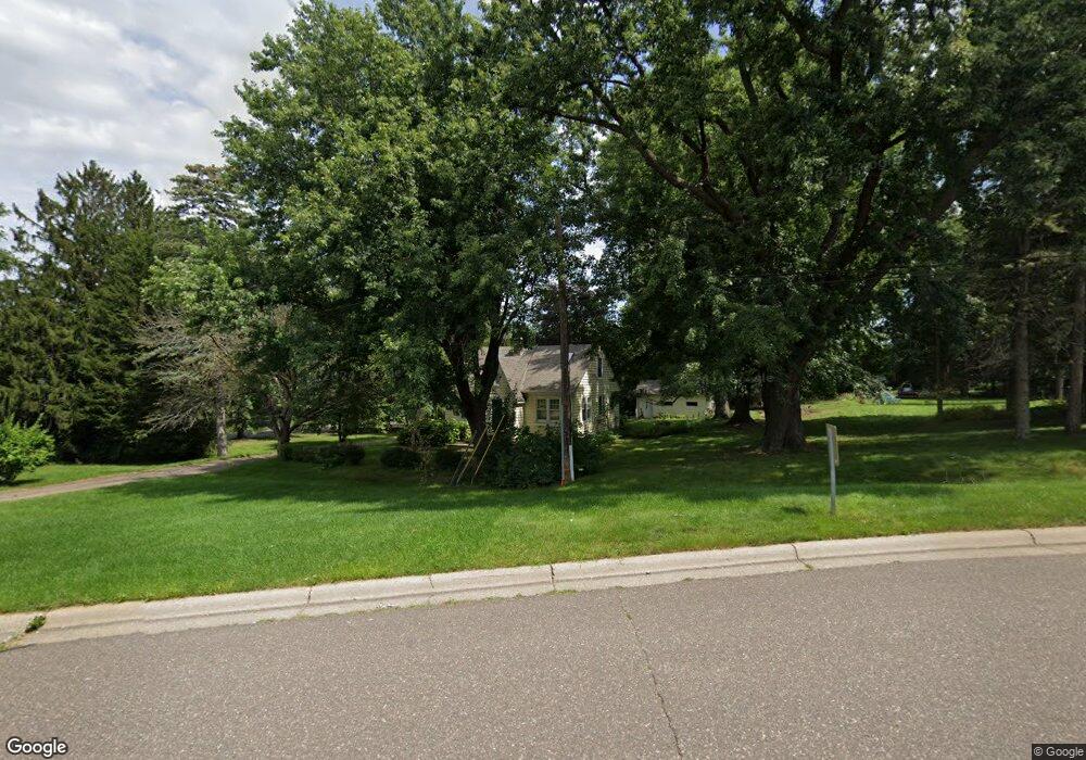
1900 Furness St Saint Paul, MN 55109
Hillside NeighborhoodEstimated Value: $293,000 - $345,000
3
Beds
1
Bath
1,296
Sq Ft
$242/Sq Ft
Est. Value
About This Home
This home is located at 1900 Furness St, Saint Paul, MN 55109 and is currently estimated at $313,886, approximately $242 per square foot. 1900 Furness St is a home located in Ramsey County with nearby schools including John Glenn Middle School, North Metro Flex Middle School, and Lionsgate Academy AIM.
Ownership History
Date
Name
Owned For
Owner Type
Purchase Details
Closed on
Jul 18, 2024
Sold by
Tekle Mulugeta and Gebreselassie Furtuna Fkadu
Bought by
Martinez Vazquez Esteban and Angel Ramos Centeno
Current Estimated Value
Purchase Details
Closed on
Dec 5, 2017
Sold by
Herringshaw Elisabeth Hope
Bought by
Peterson Andrew J
Home Financials for this Owner
Home Financials are based on the most recent Mortgage that was taken out on this home.
Original Mortgage
$164,000
Interest Rate
3.9%
Mortgage Type
New Conventional
Purchase Details
Closed on
Dec 27, 2001
Sold by
Austad Rose M and Austad David R
Bought by
Nelson Wesley
Create a Home Valuation Report for This Property
The Home Valuation Report is an in-depth analysis detailing your home's value as well as a comparison with similar homes in the area
Home Values in the Area
Average Home Value in this Area
Purchase History
| Date | Buyer | Sale Price | Title Company |
|---|---|---|---|
| Martinez Vazquez Esteban | $385,000 | Guardian Title | |
| Peterson Andrew J | -- | None Available | |
| Nelson Wesley | $165,000 | -- |
Source: Public Records
Mortgage History
| Date | Status | Borrower | Loan Amount |
|---|---|---|---|
| Previous Owner | Peterson Andrew J | $164,000 |
Source: Public Records
Tax History Compared to Growth
Tax History
| Year | Tax Paid | Tax Assessment Tax Assessment Total Assessment is a certain percentage of the fair market value that is determined by local assessors to be the total taxable value of land and additions on the property. | Land | Improvement |
|---|---|---|---|---|
| 2025 | $3,728 | $274,300 | $110,100 | $164,200 |
| 2023 | $3,728 | $272,500 | $110,100 | $162,400 |
| 2022 | $3,298 | $229,000 | $110,100 | $118,900 |
| 2021 | $3,016 | $233,600 | $55,100 | $178,500 |
| 2020 | $3,258 | $220,300 | $55,100 | $165,200 |
| 2019 | $3,198 | $221,200 | $55,100 | $166,100 |
| 2018 | $2,934 | $220,600 | $110,100 | $110,500 |
| 2017 | $3,250 | $199,800 | $110,100 | $89,700 |
| 2016 | $3,234 | $0 | $0 | $0 |
| 2015 | $2,922 | $191,700 | $93,700 | $98,000 |
| 2014 | $2,818 | $0 | $0 | $0 |
Source: Public Records
Map
Nearby Homes
- 2165 Holloway Ave E
- 2007 6th St N
- 2092 Shryer Ave E
- 2054 Shryer Ct E
- 1742 Howard St N
- 1279 Ripley Ave
- 2226 South Ave E
- 2225 Larpenteur Ave E
- 2075 Cardinal Glen
- 2076 Larpenteur Ave E
- 2193 Jennifer Ct
- 2342 South Ave E
- 1700 Stanich Place
- 2191 Gateway Hill Rd
- 2189 Gateway Hill Rd N
- 2315 Mckenney Way N
- 2222 Gateway Curve N
- 2242 Jennifer Ln
- 2223 Gateway Curve N
- 2234 Gateway Curve N
- 2170 Holloway Ave E
- 1890 Furness St
- 2159 Holloway Ave E
- 2159 2159 Holloway Ave E
- 2180 Holloway Ave E
- 2153 Holloway Ave E
- 2171 Holloway Ave E
- 1891 Furness St
- 1884 Furness St
- 1897 Furness St
- 1893 Furness St
- 1899 Furness St
- 1901 Furness St
- 2177 Holloway Ave E
- 1903 Furness St
- 1895 Furness St
- 1938 6th St N
- 1895 Howard St N
- 1880 Furness St
- 2183 2183 Holloway Ave E