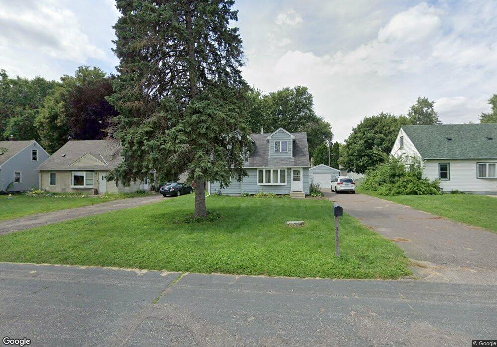
1901 Hazelwood St Saint Paul, MN 55109
Gladstone NeighborhoodEstimated Value: $267,000 - $284,000
3
Beds
1
Bath
1,028
Sq Ft
$267/Sq Ft
Est. Value
About This Home
This home is located at 1901 Hazelwood St, Saint Paul, MN 55109 and is currently estimated at $274,589, approximately $267 per square foot. 1901 Hazelwood St is a home located in Ramsey County with nearby schools including Weaver Elementary School, John Glenn Middle School, and Mounds Park Academy.
Ownership History
Date
Name
Owned For
Owner Type
Purchase Details
Closed on
Feb 10, 2017
Sold by
Leeson Timmothy J and Leeson Jessica A
Bought by
Collins Lenisa
Current Estimated Value
Home Financials for this Owner
Home Financials are based on the most recent Mortgage that was taken out on this home.
Original Mortgage
$162,011
Outstanding Balance
$133,837
Interest Rate
4.12%
Mortgage Type
FHA
Estimated Equity
$140,752
Purchase Details
Closed on
Sep 19, 2002
Sold by
Kaul Debra Jean
Bought by
Leeson Timothy J and Bayers Jessicaa
Create a Home Valuation Report for This Property
The Home Valuation Report is an in-depth analysis detailing your home's value as well as a comparison with similar homes in the area
Home Values in the Area
Average Home Value in this Area
Purchase History
| Date | Buyer | Sale Price | Title Company |
|---|---|---|---|
| Collins Lenisa | $170,000 | Titlesmart Inc | |
| Leeson Timothy J | $162,500 | -- |
Source: Public Records
Mortgage History
| Date | Status | Borrower | Loan Amount |
|---|---|---|---|
| Open | Collins Lenisa | $162,011 |
Source: Public Records
Tax History Compared to Growth
Tax History
| Year | Tax Paid | Tax Assessment Tax Assessment Total Assessment is a certain percentage of the fair market value that is determined by local assessors to be the total taxable value of land and additions on the property. | Land | Improvement |
|---|---|---|---|---|
| 2025 | $4,124 | $265,300 | $47,300 | $218,000 |
| 2023 | $4,124 | $253,200 | $47,300 | $205,900 |
| 2022 | $2,836 | $224,900 | $47,300 | $177,600 |
| 2021 | $2,616 | $205,300 | $47,300 | $158,000 |
| 2020 | $2,518 | $195,100 | $47,300 | $147,800 |
| 2019 | $2,378 | $177,800 | $47,300 | $130,500 |
| 2018 | $2,208 | $171,800 | $47,300 | $124,500 |
| 2017 | $2,626 | $157,800 | $47,300 | $110,500 |
| 2016 | $2,226 | $0 | $0 | $0 |
| 2015 | $2,192 | $131,900 | $43,400 | $88,500 |
| 2014 | $1,342 | $0 | $0 | $0 |
Source: Public Records
Map
Nearby Homes
- 1940 Barclay St
- 1854 Barclay St
- 1869 Birmingham St
- 1984 Prosperity Rd
- 1849 Kennard St
- 1870 Clarence St
- 1435 Price Ave
- 1937 Flandrau St
- 1856 Flandrau St
- 1751 Clarence St
- 1672 Manton St
- 1627 Christie Place
- 1740 English St
- 1467 County Road B E
- 1743 White Bear Ave N
- 1509 Sandhurst Ave E
- 1496 Laurie Rd E
- 1639 Clarence St
- 1730 Atlantic St
- 1201 Frost Ave
- 1909 Hazelwood St
- 1897 Hazelwood St
- 1891 Hazelwood St
- 1900 Dieter St
- 1908 Dieter St
- 1896 Dieter St
- 1914 Dieter St
- 1887 Hazelwood St
- 1890 Dieter St
- 1886 Dieter St
- 1883 Hazelwood St
- 1882 Dieter St
- 1533 Frost Ave
- 1877 Hazelwood St
- 1525 Frost Ave
- 1504 Frost Ave
- 1901 Dieter St
- 1897 Dieter St
- 1897 Dieter St N
- 1521 Frost Ave