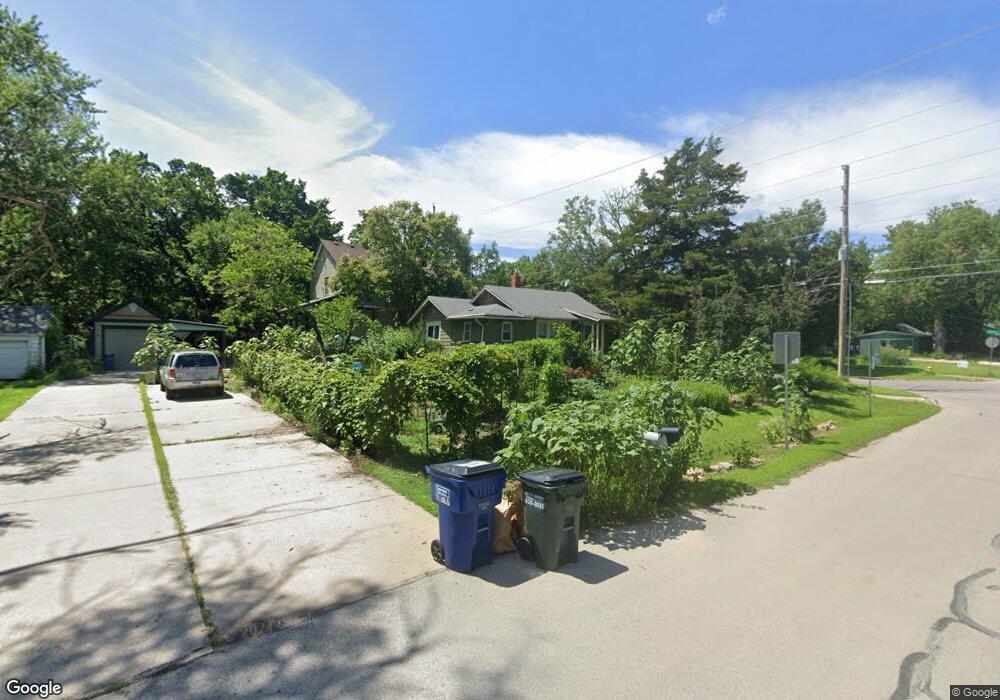
1901 Learnard Ave Lawrence, KS 66046
Barker NeighborhoodEstimated Value: $206,970 - $221,000
2
Beds
1
Bath
708
Sq Ft
$306/Sq Ft
Est. Value
About This Home
This home is located at 1901 Learnard Ave, Lawrence, KS 66046 and is currently estimated at $216,743, approximately $306 per square foot. 1901 Learnard Ave is a home located in Douglas County with nearby schools including Cordley Elementary School, Liberty Memorial Central Middle School, and Lawrence High School.
Ownership History
Date
Name
Owned For
Owner Type
Purchase Details
Closed on
Oct 23, 2024
Sold by
Aspiring Ad Astra Llc
Bought by
Dohogne Fredrick E
Current Estimated Value
Home Financials for this Owner
Home Financials are based on the most recent Mortgage that was taken out on this home.
Original Mortgage
$174,250
Outstanding Balance
$172,323
Interest Rate
6.08%
Mortgage Type
New Conventional
Estimated Equity
$44,420
Purchase Details
Closed on
Apr 19, 2005
Sold by
Jones James D
Bought by
Sohl Glen
Home Financials for this Owner
Home Financials are based on the most recent Mortgage that was taken out on this home.
Original Mortgage
$117,000
Interest Rate
5.89%
Mortgage Type
Construction
Create a Home Valuation Report for This Property
The Home Valuation Report is an in-depth analysis detailing your home's value as well as a comparison with similar homes in the area
Home Values in the Area
Average Home Value in this Area
Purchase History
| Date | Buyer | Sale Price | Title Company |
|---|---|---|---|
| Dohogne Fredrick E | -- | Security 1St Title | |
| Sohl Glen | $117,000 | Kansas Secured Title Douglas |
Source: Public Records
Mortgage History
| Date | Status | Borrower | Loan Amount |
|---|---|---|---|
| Open | Dohogne Fredrick E | $174,250 | |
| Previous Owner | Sohl Glen | $117,000 |
Source: Public Records
Tax History
| Year | Tax Paid | Tax Assessment Tax Assessment Total Assessment is a certain percentage of the fair market value that is determined by local assessors to be the total taxable value of land and additions on the property. | Land | Improvement |
|---|---|---|---|---|
| 2025 | $2,850 | $23,575 | $9,200 | $14,375 |
| 2024 | $2,706 | $22,437 | $8,625 | $13,812 |
| 2023 | $2,667 | $21,080 | $6,900 | $14,180 |
| 2022 | $2,405 | $18,918 | $4,600 | $14,318 |
| 2021 | $2,138 | $16,169 | $4,368 | $11,801 |
| 2020 | $2,010 | $15,300 | $4,368 | $10,932 |
| 2019 | $1,910 | $14,570 | $3,798 | $10,772 |
| 2018 | $1,811 | $13,731 | $3,571 | $10,160 |
| 2017 | $1,679 | $12,616 | $3,571 | $9,045 |
| 2016 | $1,671 | $13,110 | $4,884 | $8,226 |
| 2015 | -- | $11,270 | $3,449 | $7,821 |
| 2014 | -- | $13,731 | $3,449 | $10,282 |
Source: Public Records
Map
Nearby Homes
- 2009 Learnard Ave
- 5701 Johnson Ave
- 5804 Johnson Ave
- 2106 Rhode Island St
- 1625 Pennsylvania St
- 1625 Delaware St
- 2115 Massachusetts St
- 2046 Kentucky St
- 2208 Massachusetts St
- 2301 Massachusetts St
- 1327 New Jersey St
- 1300 New York St Unit A & B
- 1300 New York St
- 2014 Maple Ln
- 1800 Illinois St
- 1831 Illinois St
- 1141 Connecticut St
- 1628 E 18th Terrace
- 1708 E 21st Terrace
- 314 Oklahoma St
- 333 E 19th St
- 1911 Learnard Ave
- 329 E 19th St Unit AB
- 1900 Learnard Ave
- 1845 Learnard Ave
- 1927 Learnard Ave
- 327 E 19th St
- 334 E 19th St
- 332 E 19th St
- 321 E 19th St
- 1846 Learnard Ave
- 326 E 19th St
- 1931 Learnard Ave
- 325 E 19th St
- 319 E 19th St
- 1922 Learnard Ave
- 337 Johnson Ave
- 1930 Learnard Ave
- 318 E 19th St
- 315 E 19th St
Your Personal Tour Guide
Ask me questions while you tour the home.