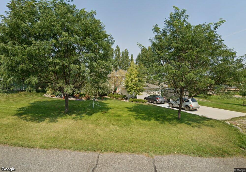
1901 Pinyon Dr Laurel, MT 59044
Estimated Value: $480,000 - $588,000
5
Beds
3
Baths
2,376
Sq Ft
$231/Sq Ft
Est. Value
About This Home
This home is located at 1901 Pinyon Dr, Laurel, MT 59044 and is currently estimated at $549,661, approximately $231 per square foot. 1901 Pinyon Dr is a home located in Yellowstone County with nearby schools including Fred W. Graff School, West School, and Laurel Middle School.
Ownership History
Date
Name
Owned For
Owner Type
Purchase Details
Closed on
Jun 24, 2013
Sold by
Pitts Lori J and Pitts Travis L
Bought by
Brester Mark D
Current Estimated Value
Home Financials for this Owner
Home Financials are based on the most recent Mortgage that was taken out on this home.
Original Mortgage
$227,760
Outstanding Balance
$161,219
Interest Rate
3.38%
Mortgage Type
New Conventional
Estimated Equity
$388,442
Purchase Details
Closed on
Aug 20, 2007
Sold by
Walsh Howard S and Walsh Ann T
Bought by
Pitts Lori J and Pitts Travis L
Home Financials for this Owner
Home Financials are based on the most recent Mortgage that was taken out on this home.
Original Mortgage
$218,500
Interest Rate
6.73%
Mortgage Type
Unknown
Create a Home Valuation Report for This Property
The Home Valuation Report is an in-depth analysis detailing your home's value as well as a comparison with similar homes in the area
Home Values in the Area
Average Home Value in this Area
Purchase History
We collect this data history from publicly available records. To have your information removed, we recommend requesting removal directly through your county’s website.
| Date | Buyer | Sale Price | Title Company |
|---|---|---|---|
| Brester Mark D | -- | Chicago Title | |
| Pitts Lori J | -- | Stewart Title Of Billings |
Source: Public Records
Mortgage History
We collect this data history from publicly available records. To have your information removed, we recommend requesting removal directly through your county’s website.
| Date | Status | Borrower | Loan Amount |
|---|---|---|---|
| Open | Brester Mark D | $227,760 | |
| Previous Owner | Pitts Lori J | $218,500 |
Source: Public Records
Tax History
| Year | Tax Paid | Tax Assessment Tax Assessment Total Assessment is a certain percentage of the fair market value that is determined by local assessors to be the total taxable value of land and additions on the property. | Land | Improvement |
|---|---|---|---|---|
| 2025 | $2,757 | $499,300 | $111,480 | $387,820 |
| 2024 | $2,757 | $397,700 | $85,421 | $312,279 |
| 2023 | $2,781 | $397,700 | $85,421 | $312,279 |
| 2022 | $2,316 | $358,800 | $0 | $0 |
| 2021 | $2,557 | $358,800 | $0 | $0 |
| 2020 | $2,533 | $348,300 | $0 | $0 |
| 2019 | $2,439 | $348,300 | $0 | $0 |
| 2018 | $2,619 | $323,700 | $0 | $0 |
| 2017 | $2,389 | $323,700 | $0 | $0 |
| 2016 | $2,278 | $313,200 | $0 | $0 |
| 2015 | $2,244 | $313,200 | $0 | $0 |
| 2014 | $1,958 | $145,538 | $0 | $0 |
Source: Public Records
Map
Nearby Homes
- 1665 Wild Lupine Ln
- 1545 Green Bluff Ave
- 723 Juniper Ave
- 2614 Shadow Wood Dr
- 406 Roundhouse Dr
- 1003 Montana Ave
- 1034 1st Ave
- 414 Wyoming Ave
- 516 Pennsylvania Ave
- 810 1st Ave
- 119 W 9th St
- 209 E 5th St
- 218 W Maryland Ln
- 1316 Beartooth Dr
- 209 3rd Ave
- 807 W 12th St
- 620 W 8th St
- 515 6th Ave
- 1107 11th Ave
- 910 10th Ave
Your Personal Tour Guide
Ask me questions while you tour the home.