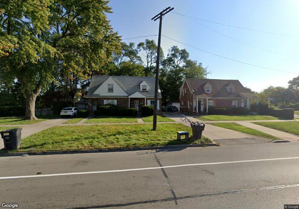
19014 Morang Dr Detroit, MI 48205
Maple Ridge NeighborhoodEstimated Value: $57,000 - $64,000
4
Beds
2
Baths
1,440
Sq Ft
$43/Sq Ft
Est. Value
About This Home
This home is located at 19014 Morang Dr, Detroit, MI 48205 and is currently estimated at $61,740, approximately $42 per square foot. 19014 Morang Dr is a home located in Wayne County with nearby schools including Edward 'Duke' Ellington Conservatory of Music and Art, Charles L. Spain Elementary-Middle School, and Denby High School.
Ownership History
Date
Name
Owned For
Owner Type
Purchase Details
Closed on
Nov 10, 2015
Sold by
Treasurer Of The Charter County Of Wayne
Bought by
Brown Cheryl Y and Houston Julian
Current Estimated Value
Purchase Details
Closed on
Jun 12, 2015
Sold by
Ddc Properties Llc
Bought by
Gar Properties Llc
Purchase Details
Closed on
Nov 19, 2010
Sold by
Dcc Properties Llc
Bought by
Gar Properties Llc
Purchase Details
Closed on
Jan 20, 2010
Sold by
Brown Michael and Brown Margaret
Bought by
Deutsche Bank Trust Company Americas
Create a Home Valuation Report for This Property
The Home Valuation Report is an in-depth analysis detailing your home's value as well as a comparison with similar homes in the area
Home Values in the Area
Average Home Value in this Area
Purchase History
| Date | Buyer | Sale Price | Title Company |
|---|---|---|---|
| Brown Cheryl Y | $4,800 | None Available | |
| Gar Properties Llc | $19,900 | Attorney | |
| Gar Properties Llc | -- | Continental Title Agency | |
| Deutsche Bank Trust Company Americas | $97,727 | None Available |
Source: Public Records
Tax History Compared to Growth
Tax History
| Year | Tax Paid | Tax Assessment Tax Assessment Total Assessment is a certain percentage of the fair market value that is determined by local assessors to be the total taxable value of land and additions on the property. | Land | Improvement |
|---|---|---|---|---|
| 2025 | $897 | $20,700 | $0 | $0 |
| 2024 | $897 | $19,300 | $0 | $0 |
| 2023 | $870 | $15,600 | $0 | $0 |
| 2022 | $921 | $13,400 | $0 | $0 |
| 2021 | $898 | $9,200 | $0 | $0 |
| 2020 | $898 | $8,200 | $0 | $0 |
| 2019 | $886 | $7,300 | $0 | $0 |
| 2018 | $848 | $7,900 | $0 | $0 |
| 2017 | $147 | $8,000 | $0 | $0 |
| 2016 | $1,025 | $9,100 | $0 | $0 |
| 2015 | $910 | $9,100 | $0 | $0 |
| 2013 | $1,269 | $12,693 | $0 | $0 |
| 2010 | -- | $18,611 | $799 | $17,812 |
Source: Public Records
Map
Nearby Homes
- 15649 E 7 Mile Rd
- 18820 Morang Dr
- 15596 Eastwood St
- 18814 Morang Dr
- 15480 Saratoga St
- 15243 Fordham St
- 15666 Eastwood St
- 15804 E 7 Mile Rd
- 15646 Saratoga St
- 15816 E 7 Mile Rd
- 15294 Saratoga St
- 15860 Fordham St
- 15257 Faircrest St
- 15919 Eastwood St
- 15227 Linnhurst St
- 15860 Faircrest St
- 16000 Maddelein St
- 15315 Park Grove St
- 14253 Fordham St
- 18639 Kelly Rd
- 19004 Morang Dr
- 19018 Morang Dr
- 19000 Morang Dr
- 15520 E 7 Mile Rd
- 15551 Fordham St
- 15524 E 7 Mile Rd
- 19042 Morang Dr
- 15544 E 7 Mile Rd
- 18942 Morang Dr
- 19038 Morang Dr
- 15559 Fordham St
- 15556 E 7 Mile Rd
- 18938 Morang Dr
- 19009 Morang Dr
- 15558 E 7 Mile Rd
- 18943 Morang Dr
- 15567 Fordham St
- 19015 Morang Dr
- 15568 E 7 Mile Rd
- 18937 Morang Dr