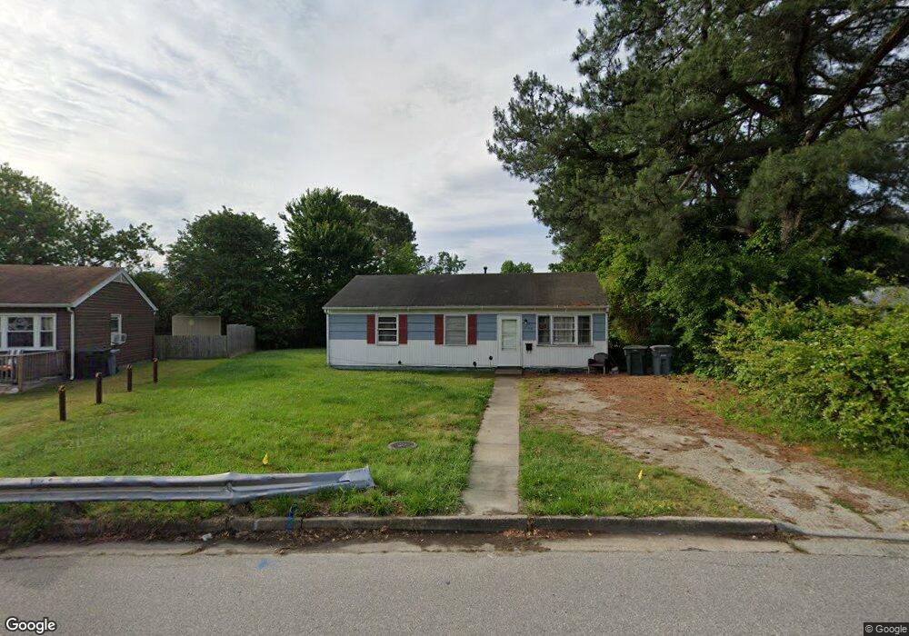
1902 Andrews Blvd Hampton, VA 23663
Buckroe Beach NeighborhoodEstimated Value: $185,000 - $215,000
3
Beds
1
Bath
912
Sq Ft
$214/Sq Ft
Est. Value
About This Home
This home is located at 1902 Andrews Blvd, Hampton, VA 23663 and is currently estimated at $195,445, approximately $214 per square foot. 1902 Andrews Blvd is a home located in Hampton City with nearby schools including Benjamin Syms Middle School, Phoebus High School, and Gloria Dei Lutheran School.
Ownership History
Date
Name
Owned For
Owner Type
Purchase Details
Closed on
Jun 27, 2023
Sold by
Boo Boo Holdings Llc
Bought by
Joejoes Llc
Current Estimated Value
Purchase Details
Closed on
Aug 13, 2021
Sold by
Salyers Joe
Bought by
Boo Boo Holdings Llc
Purchase Details
Closed on
Jun 24, 2015
Sold by
Bushill Capital Corporation
Bought by
Carrithers Incorporated
Create a Home Valuation Report for This Property
The Home Valuation Report is an in-depth analysis detailing your home's value as well as a comparison with similar homes in the area
Home Values in the Area
Average Home Value in this Area
Purchase History
| Date | Buyer | Sale Price | Title Company |
|---|---|---|---|
| Joejoes Llc | -- | None Listed On Document | |
| Boo Boo Holdings Llc | -- | None Available | |
| Salyers Joe | -- | None Available | |
| Carrithers Incorporated | $51,000 | -- |
Source: Public Records
Tax History
| Year | Tax Paid | Tax Assessment Tax Assessment Total Assessment is a certain percentage of the fair market value that is determined by local assessors to be the total taxable value of land and additions on the property. | Land | Improvement |
|---|---|---|---|---|
| 2025 | $1,967 | $168,000 | $55,000 | $113,000 |
| 2024 | $1,724 | $149,900 | $55,000 | $94,900 |
| 2023 | $1,554 | $134,000 | $55,000 | $79,000 |
| 2022 | $1,436 | $121,700 | $50,000 | $71,700 |
| 2021 | $1,417 | $103,800 | $42,000 | $61,800 |
| 2020 | $1,190 | $96,000 | $38,300 | $57,700 |
| 2019 | $1,192 | $96,100 | $38,300 | $57,800 |
| 2018 | $1,296 | $96,900 | $38,300 | $58,600 |
| 2017 | $1,296 | $0 | $0 | $0 |
| 2016 | $1,296 | $96,900 | $0 | $0 |
| 2015 | $1,296 | $0 | $0 | $0 |
| 2014 | $1,418 | $96,900 | $38,300 | $58,600 |
Source: Public Records
Map
Nearby Homes
- 1923 Rawood Dr
- 1926 Somerville Dr
- 1912 Beall Dr
- 1814 Somerville Dr
- 706 Grimes Rd
- 1915 Long Green Ln
- 1845 Kensington Dr
- 1909 Long Green Ln
- 1928 Long Green Ln
- 2000 Egger Cir
- 1530 Morgan Dr
- 2007 Egger Cir
- 2013 Egger Cir
- 54 George Ct
- 1918 Nickerson Blvd
- 2000 Beall Dr
- 1445 Oakcrest Dr
- 213 Ireland St
- 1504 E Pembroke Ave
- 304 Woodland Rd
- 1900 Andrews Blvd
- 1102 Grimes Rd
- 1905 Bancroft Dr
- 1907 Bancroft Dr
- 1906 Andrews Blvd
- 1903 Bancroft Dr
- 1909 Bancroft Dr
- 1903 Andrews Blvd
- 1911 Bancroft Dr
- 1908 Andrews Blvd
- 1901 Andrews Blvd
- 1905 Andrews Blvd
- 1840 Andrews Blvd
- 1902 Bancroft Dr
- 1103 Grimes Rd
- 1913 Bancroft Dr
- 1900 Bancroft Dr
- 1906 Bancroft Dr
- 1908 Bancroft Dr
- 1904 Bancroft Dr
Your Personal Tour Guide
Ask me questions while you tour the home.