Estimated Value: $296,000 - $326,158
3
Beds
2
Baths
1,445
Sq Ft
$214/Sq Ft
Est. Value
About This Home
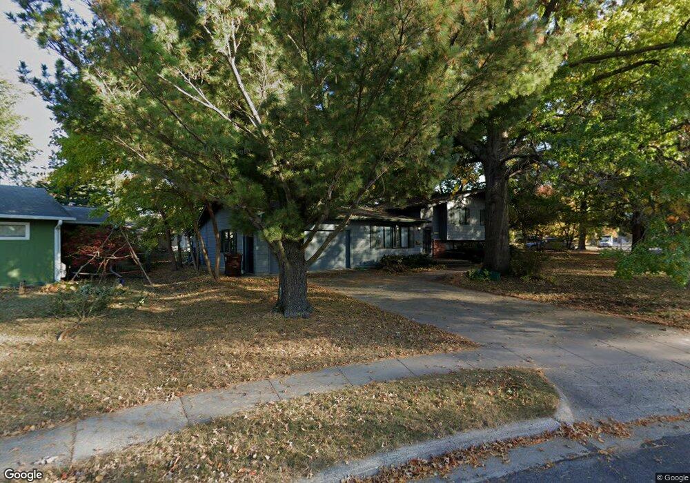
This home is located at 1902 Bel Air Cir, Ames, IA 50010 and is currently estimated at $309,540, approximately $214 per square foot. 1902 Bel Air Cir is a home located in Story County with nearby schools including Fellows Elementary School, Ames Middle School, and Ames High School.
Ownership History
Date
Name
Owned For
Owner Type
Purchase Details
Closed on
May 10, 2019
Sold by
Sauceda Jeremias A
Bought by
Laura Asauceda
Current Estimated Value
Purchase Details
Closed on
Aug 19, 2009
Sold by
Crump Malcolm Hart
Bought by
Sauceda Jeremias A and Sauceda Laura A
Home Financials for this Owner
Home Financials are based on the most recent Mortgage that was taken out on this home.
Original Mortgage
$155,138
Interest Rate
5.29%
Mortgage Type
FHA
Create a Home Valuation Report for This Property
The Home Valuation Report is an in-depth analysis detailing your home's value as well as a comparison with similar homes in the area
Home Values in the Area
Average Home Value in this Area
Purchase History
| Date | Buyer | Sale Price | Title Company |
|---|---|---|---|
| Laura Asauceda | -- | -- | |
| Sauceda Jeremias A | $158,000 | -- |
Source: Public Records
Mortgage History
| Date | Status | Borrower | Loan Amount |
|---|---|---|---|
| Previous Owner | Sauceda Jeremias A | $155,138 |
Source: Public Records
Tax History Compared to Growth
Tax History
| Year | Tax Paid | Tax Assessment Tax Assessment Total Assessment is a certain percentage of the fair market value that is determined by local assessors to be the total taxable value of land and additions on the property. | Land | Improvement |
|---|---|---|---|---|
| 2025 | $4,158 | $336,700 | $66,500 | $270,200 |
| 2024 | $4,068 | $296,900 | $53,300 | $243,600 |
| 2023 | $3,440 | $296,900 | $53,300 | $243,600 |
| 2022 | $3,440 | $213,300 | $53,300 | $160,000 |
| 2021 | $3,396 | $213,300 | $53,300 | $160,000 |
| 2020 | $3,490 | $210,100 | $52,500 | $157,600 |
| 2019 | $3,490 | $210,100 | $52,500 | $157,600 |
| 2018 | $3,518 | $210,100 | $52,500 | $157,600 |
| 2017 | $3,518 | $210,100 | $52,500 | $157,600 |
| 2016 | $3,106 | $185,100 | $44,700 | $140,400 |
| 2015 | $3,106 | $185,100 | $44,700 | $140,400 |
| 2014 | $2,952 | $173,000 | $41,700 | $131,300 |
Source: Public Records
Map
Nearby Homes
- 1310 20th St
- 1516 Ridgewood Ave
- 2112 Furman Dr
- 1214 Northwestern Ave
- 1202 Curtiss Ave
- 1201 Orchard Dr
- 1132 Northwestern Ave
- 1636 Johnson St
- 1104 Wilson Ave
- 1720 Douglas Ave
- 1618 Douglas Ave
- 1457 Breckinridge Ct
- 2516 Somerset Dr
- 1202 Burnett Ave
- 1003 Clark Ave
- 811 Grand Ave
- 814 Wilson Ave
- 628 Brookridge Ave
- 715 Grand Ave
- 2511 Bristol Dr Unit 204
- 1822 Bel Air Dr
- 1910 Bel Air Cir
- 1821 Northwestern Ave
- 1901 Northwestern Ave
- 1816 Bel Air Dr
- 1914 Bel Air Cir
- 1829 Bel Air Dr
- 1909 Bel Air Cir
- 1819 Bel Air Dr
- 1907 Northwestern Ave
- 1909 Bel Air Cir
- 1809 Northwestern Ave
- 1904 Bel Air Dr
- 1905 Bel Air Dr
- 1810 Bel Air Dr
- 1811 Bel Air Dr
- 1913 Northwestern Ave
- 1801 Northwestern Ave
- 1218 20th St
- 1818 Arthur Cir