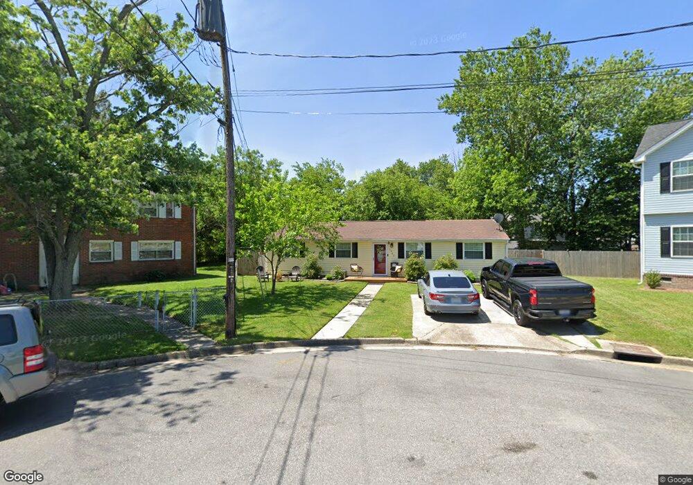
1902 Hart Cir Hampton, VA 23663
Buckroe Beach NeighborhoodEstimated Value: $267,000 - $288,000
4
Beds
2
Baths
1,392
Sq Ft
$200/Sq Ft
Est. Value
About This Home
This home is located at 1902 Hart Cir, Hampton, VA 23663 and is currently estimated at $278,306, approximately $199 per square foot. 1902 Hart Cir is a home located in Hampton City with nearby schools including Benjamin Syms Middle School, Kecoughtan High School, and Gloria Dei Lutheran School.
Ownership History
Date
Name
Owned For
Owner Type
Purchase Details
Closed on
Aug 14, 2025
Sold by
Parker Rahman and Parker Cynthia M
Bought by
Parker Rahman and Parker Cynthia M
Current Estimated Value
Purchase Details
Closed on
Feb 23, 2015
Sold by
Ocastal Residential Properties
Bought by
Parker Rahman
Home Financials for this Owner
Home Financials are based on the most recent Mortgage that was taken out on this home.
Original Mortgage
$141,391
Interest Rate
3.75%
Mortgage Type
FHA
Purchase Details
Closed on
Apr 9, 2014
Sold by
Bushnell Capital Corp
Bought by
Coastal Residential Prop Llc
Home Financials for this Owner
Home Financials are based on the most recent Mortgage that was taken out on this home.
Original Mortgage
$107,000
Interest Rate
4.26%
Mortgage Type
Construction
Create a Home Valuation Report for This Property
The Home Valuation Report is an in-depth analysis detailing your home's value as well as a comparison with similar homes in the area
Home Values in the Area
Average Home Value in this Area
Purchase History
| Date | Buyer | Sale Price | Title Company |
|---|---|---|---|
| Parker Rahman | -- | None Listed On Document | |
| Parker Rahman | $144,000 | -- | |
| Coastal Residential Prop Llc | $55,000 | -- |
Source: Public Records
Mortgage History
| Date | Status | Borrower | Loan Amount |
|---|---|---|---|
| Previous Owner | Parker Rahman | $141,391 | |
| Previous Owner | Coastal Residential Prop Llc | $107,000 |
Source: Public Records
Tax History
| Year | Tax Paid | Tax Assessment Tax Assessment Total Assessment is a certain percentage of the fair market value that is determined by local assessors to be the total taxable value of land and additions on the property. | Land | Improvement |
|---|---|---|---|---|
| 2025 | $2,929 | $254,000 | $55,000 | $199,000 |
| 2024 | $2,666 | $231,800 | $55,000 | $176,800 |
| 2023 | $2,648 | $228,300 | $55,000 | $173,300 |
| 2022 | $2,149 | $182,100 | $50,000 | $132,100 |
| 2021 | $2,238 | $170,000 | $42,000 | $128,000 |
| 2020 | $1,774 | $143,100 | $38,300 | $104,800 |
| 2019 | $1,884 | $151,900 | $38,300 | $113,600 |
| 2018 | $1,927 | $143,400 | $38,300 | $105,100 |
| 2017 | $1,872 | $0 | $0 | $0 |
| 2016 | $1,872 | $143,400 | $0 | $0 |
| 2015 | $1,851 | $0 | $0 | $0 |
| 2014 | $1,800 | $119,100 | $38,300 | $80,800 |
Source: Public Records
Map
Nearby Homes
- 2000 Beall Dr
- 1508 Garrow Cir
- 1912 Beall Dr
- 2007 Egger Cir
- 45 Glascow Way
- 2020 Seward Dr
- 2013 Egger Cir
- 21 Loch Cir
- 2101 Andrews Blvd
- 107 Glascow Way
- 417 Woodland Rd
- 385 Woodland Rd
- 1926 Somerville Dr
- 20 Aster Way
- 350 Wrexham Ct
- 1923 Rawood Dr
- 1814 Somerville Dr
- 1358 Coral Place
- 3 Travis Cir
- 1845 Kensington Dr
- 1904 Hart Cir
- 1904 Grimes Rd
- 1903 Hart Cir
- 2000 Grimes Rd
- 1902 Grimes Rd
- 1903 Hastings Dr
- 1905 Hastings Dr
- 1906 Hart Cir
- 2002 Grimes Rd
- 1905 Hart Cir
- 1900 Grimes Rd
- 1907 Hastings Dr
- 1907 Hart Cir
- 2004 Grimes Rd
- 1908 Hart Cir
- 1902 Seward Dr
- 1909 Hart Cir
- 1904 Seward Dr
- 1909 Hastings Dr
- 1905 Grimes Rd
Your Personal Tour Guide
Ask me questions while you tour the home.