1903 Gravenstein Hwy S Sebastopol, CA 95472
Estimated Value: $1,322,000 - $1,633,298
3
Beds
4
Baths
6,073
Sq Ft
$234/Sq Ft
Est. Value
About This Home
This home is located at 1903 Gravenstein Hwy S, Sebastopol, CA 95472 and is currently estimated at $1,423,825, approximately $234 per square foot. 1903 Gravenstein Hwy S is a home with nearby schools including Analy High School, Sunridge Charter School, and Gravenstein Elementary School.
Ownership History
Date
Name
Owned For
Owner Type
Purchase Details
Closed on
Feb 3, 2025
Sold by
Carol Cole Mitchel Trust and Mitchel Carol Cole
Bought by
Carol Cole Mitchel Trust and Mitchel
Current Estimated Value
Purchase Details
Closed on
Feb 24, 2024
Sold by
Grow Gardens Llc
Bought by
Carol Cole Mitchel Trust and Mitchel
Purchase Details
Closed on
Apr 27, 2011
Sold by
Cook Irene Marie
Bought by
Grow Gardens Llc
Purchase Details
Closed on
Aug 24, 2004
Sold by
Cook Irene Marie
Bought by
Cook Irene Marie and Angelina Bassignani 1990 Trust
Create a Home Valuation Report for This Property
The Home Valuation Report is an in-depth analysis detailing your home's value as well as a comparison with similar homes in the area
Home Values in the Area
Average Home Value in this Area
Purchase History
| Date | Buyer | Sale Price | Title Company |
|---|---|---|---|
| Carol Cole Mitchel Trust | -- | None Listed On Document | |
| Grow Gardens Llc | -- | None Listed On Document | |
| Carol Cole Mitchel Trust | -- | None Listed On Document | |
| Grow Gardens Llc | $1,032,500 | First American Title Company | |
| Cook Irene Marie | -- | Fidelity National Title Co |
Source: Public Records
Tax History Compared to Growth
Tax History
| Year | Tax Paid | Tax Assessment Tax Assessment Total Assessment is a certain percentage of the fair market value that is determined by local assessors to be the total taxable value of land and additions on the property. | Land | Improvement |
|---|---|---|---|---|
| 2025 | $13,087 | $1,161,681 | $392,071 | $769,610 |
| 2024 | $13,087 | $1,138,904 | $384,384 | $754,520 |
| 2023 | $13,087 | $1,116,574 | $376,848 | $739,726 |
| 2022 | $12,626 | $1,094,681 | $369,459 | $725,222 |
| 2021 | $12,674 | $1,088,037 | $362,215 | $725,822 |
| 2020 | $12,720 | $1,082,090 | $358,501 | $723,589 |
| 2019 | $12,254 | $1,059,456 | $351,472 | $707,984 |
| 2018 | $12,089 | $1,040,088 | $344,581 | $695,507 |
| 2017 | $11,580 | $1,021,270 | $337,825 | $683,445 |
| 2016 | $11,397 | $1,000,824 | $331,201 | $669,623 |
| 2015 | -- | $762,450 | $326,227 | $436,223 |
| 2014 | -- | $751,042 | $319,837 | $431,205 |
Source: Public Records
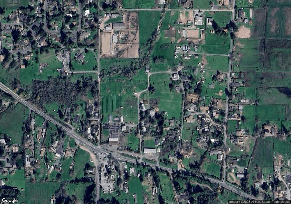
Map
Nearby Homes
- 1466 Cooper Rd
- 447 Sparkes Rd
- 2550 Hwy 116 S
- 1171 Gravenstein Hwy S
- 6720 Evergreen Ave
- 6781 Evergreen Ave
- 6917 Redwood Ave
- 7086 Fircrest Ave
- 7251 Fircrest Ave
- 8061 Elphick Rd
- 830 Litchfield Ave
- 5301 Gravenstein Hwy S
- 508 Petaluma Ave
- 1415 Schaeffer Rd
- 5111 Todd Rd
- 5200 California 116
- 3765 Twig Ave
- 789 Pleasant Hill Rd
- 497 Pleasant Hill Rd
- 7720 Bodega Ave Unit 3
- 1901 Gravenstein Hwy S
- 1963 Gravenstein Hwy S
- 1959 Gravenstein Hwy S
- 1897 Gravenstein Hwy S
- 1970 Cooper Rd
- 1960 Cooper Rd
- 1945 Gravenstein Hwy S
- 1886 Cooper Rd
- 1965 Gravenstein Hwy S
- 1966 Cooper Rd
- 2011 Gravenstein Hwy S
- 1954 Cooper Rd
- 1990 Cooper Rd
- 1880 Gravenstein Hwy S
- 1777 Gravenstein Hwy S
- 1765 Gravenstein Hwy S
- 1902 Gravenstein Hwy S
- 1968 Cooper Rd
- 1950 Cooper Rd
- 1930 Cooper Rd