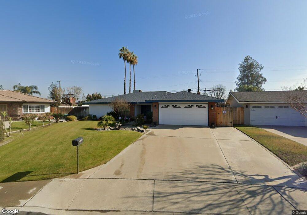
1904 Emerson St Bakersfield, CA 93309
Southwest Bakersfield NeighborhoodEstimated Value: $348,264 - $390,000
3
Beds
2
Baths
1,521
Sq Ft
$247/Sq Ft
Est. Value
About This Home
This home is located at 1904 Emerson St, Bakersfield, CA 93309 and is currently estimated at $376,066, approximately $247 per square foot. 1904 Emerson St is a home located in Kern County with nearby schools including Stine Elementary School, Fred L. Thompson Junior High School, and West High School.
Ownership History
Date
Name
Owned For
Owner Type
Purchase Details
Closed on
Jul 18, 2005
Sold by
Routh Leslie Lynne
Bought by
Routh Leslie Lynne
Current Estimated Value
Home Financials for this Owner
Home Financials are based on the most recent Mortgage that was taken out on this home.
Original Mortgage
$207,000
Interest Rate
5.56%
Mortgage Type
New Conventional
Create a Home Valuation Report for This Property
The Home Valuation Report is an in-depth analysis detailing your home's value as well as a comparison with similar homes in the area
Home Values in the Area
Average Home Value in this Area
Purchase History
| Date | Buyer | Sale Price | Title Company |
|---|---|---|---|
| Routh Leslie Lynne | -- | Orange Coast Title |
Source: Public Records
Mortgage History
| Date | Status | Borrower | Loan Amount |
|---|---|---|---|
| Closed | Routh Leslie Lynne | $207,000 |
Source: Public Records
Tax History
| Year | Tax Paid | Tax Assessment Tax Assessment Total Assessment is a certain percentage of the fair market value that is determined by local assessors to be the total taxable value of land and additions on the property. | Land | Improvement |
|---|---|---|---|---|
| 2025 | $2,985 | $199,336 | $51,993 | $147,343 |
| 2024 | $2,985 | $195,428 | $50,974 | $144,454 |
| 2023 | $2,936 | $191,597 | $49,975 | $141,622 |
| 2022 | $2,816 | $187,842 | $48,996 | $138,846 |
| 2021 | $2,701 | $184,160 | $48,036 | $136,124 |
| 2020 | $2,650 | $182,273 | $47,544 | $134,729 |
| 2019 | $2,615 | $182,273 | $47,544 | $134,729 |
| 2018 | $2,499 | $175,198 | $45,699 | $129,499 |
| 2017 | $2,462 | $171,763 | $44,803 | $126,960 |
| 2016 | $2,307 | $168,396 | $43,925 | $124,471 |
| 2015 | $2,285 | $165,868 | $43,266 | $122,602 |
| 2014 | $2,228 | $162,620 | $42,419 | $120,201 |
Source: Public Records
Map
Nearby Homes
- 5005 Surrey Ln
- 5116 Sherman Ave
- 4713 Summertree Ln
- 2021 Carlton St
- 4705 Misty Ct
- 1916 Hasti Acres Dr
- 1912 Hasti Acres Dr
- 4913 Scorpio Ct
- 4917 Scorpio Ct
- 2304 Bladen St
- 2418 Hasti Acres Dr
- 2209 Westminster Dr
- 1437 Libra Ct
- 1455 Gemini Ct
- 1413 Libra Ct
- 2416 Bladen St
- 2415 Bladen St
- 5400 Kirkside Dr Unit B
- 2404 Prestwick Ct
- 5800 Kirkside Dr Unit A
- 1908 Emerson St
- 1900 Emerson St
- 1913 Canter Way
- 1917 Canter Way
- 1909 Canter Way
- 5000 Sherman Ave
- 2000 Emerson St
- 2001 Canter Way
- 1901 Canter Way Unit 1-2
- 1901 Canter Way
- 5004 Sherman Ave
- 5005 Sherman Ave
- 2004 Emerson St
- 2005 Canter Way
- 1911 Emerson St
- 1839 Canter Way
- 5008 Sherman Ave
- 4819 Summertree Ln
- 1918 Canter Way
- 2001 Emerson St
Your Personal Tour Guide
Ask me questions while you tour the home.