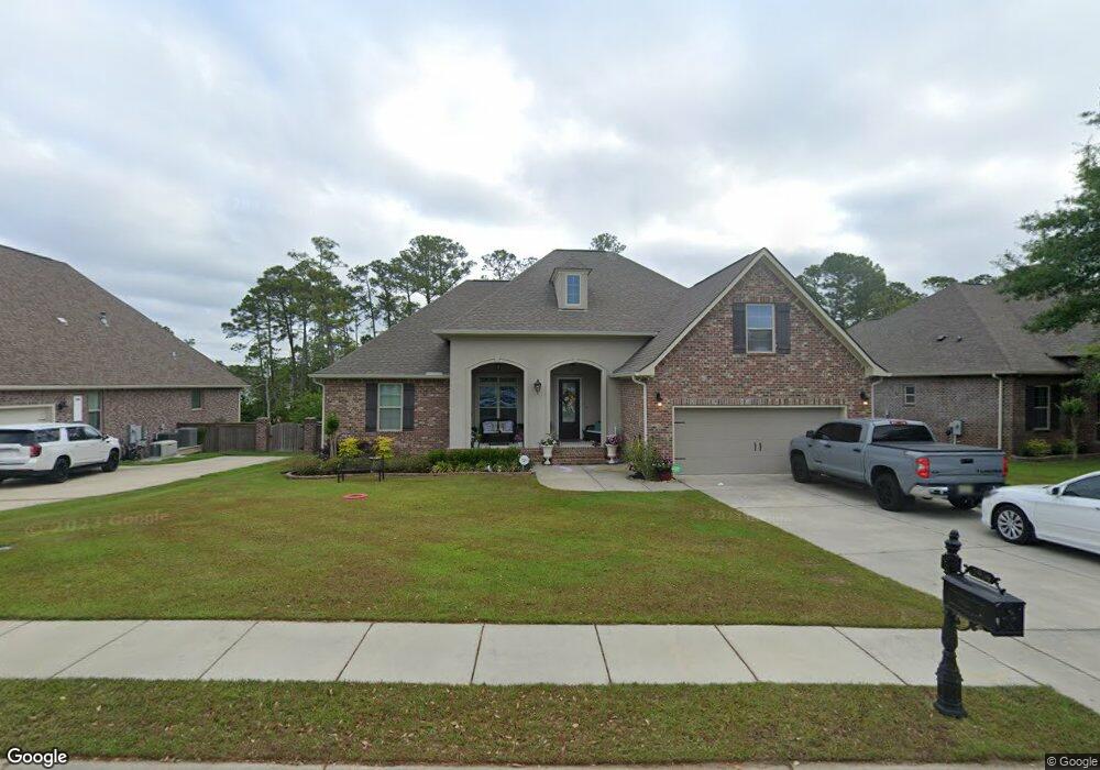
1904 Paul David Dr Biloxi, MS 39532
Estimated Value: $481,657 - $671,000
--
Bed
1
Bath
3,475
Sq Ft
$157/Sq Ft
Est. Value
About This Home
This home is located at 1904 Paul David Dr, Biloxi, MS 39532 and is currently estimated at $545,664, approximately $157 per square foot. 1904 Paul David Dr is a home with nearby schools including North Bay Elementary School, Biloxi Junior High School, and Biloxi High School.
Ownership History
Date
Name
Owned For
Owner Type
Purchase Details
Closed on
Jan 13, 2016
Bought by
Butler Choi C and Butler Scotty R
Current Estimated Value
Home Financials for this Owner
Home Financials are based on the most recent Mortgage that was taken out on this home.
Original Mortgage
$265,740
Outstanding Balance
$211,556
Interest Rate
3.99%
Mortgage Type
New Conventional
Estimated Equity
$334,108
Purchase Details
Closed on
Oct 17, 2014
Sold by
Taylor Oaks Llc
Bought by
Dsld Homes Llc
Create a Home Valuation Report for This Property
The Home Valuation Report is an in-depth analysis detailing your home's value as well as a comparison with similar homes in the area
Home Values in the Area
Average Home Value in this Area
Purchase History
| Date | Buyer | Sale Price | Title Company |
|---|---|---|---|
| Butler Choi C | -- | -- | |
| Dsld Homes Llc | -- | -- |
Source: Public Records
Mortgage History
| Date | Status | Borrower | Loan Amount |
|---|---|---|---|
| Open | Butler Choi C | $265,740 |
Source: Public Records
Tax History Compared to Growth
Tax History
| Year | Tax Paid | Tax Assessment Tax Assessment Total Assessment is a certain percentage of the fair market value that is determined by local assessors to be the total taxable value of land and additions on the property. | Land | Improvement |
|---|---|---|---|---|
| 2024 | $3,690 | $36,024 | $0 | $0 |
| 2023 | $3,616 | $35,673 | $0 | $0 |
| 2022 | $3,616 | $35,673 | $0 | $0 |
| 2021 | $3,616 | $35,673 | $0 | $0 |
| 2020 | $3,327 | $33,005 | $0 | $0 |
| 2019 | $3,327 | $33,005 | $0 | $0 |
| 2018 | $3,327 | $33,005 | $0 | $0 |
| 2017 | $3,327 | $33,005 | $0 | $0 |
| 2015 | $659 | $6,000 | $0 | $0 |
| 2014 | -- | $10,000 | $0 | $0 |
| 2013 | -- | $6,000 | $6,000 | $0 |
Source: Public Records
Map
Nearby Homes
- 0 Caroline Dr Unit 4117846
- 0 Campbell Road Dr Unit 4027188
- 1853 Popps Ferry Rd
- 0 Jam Ln
- 1099 Campbell Dr
- 939 Tommy Munro Dr
- 0 Popps Ferry Rd Unit 4108141
- 0 Popps Ferry Rd Unit 4108136
- 2077 Crane Ridge
- 2090 Woodfield Ln
- 957 Rustwood Dr
- 2053 Carolwood Dr
- 748 Malpass Landing Dr
- 739 Malpass Landing Dr
- 820 Leeward Dr
- 11532 Cedar Lake Rd
- 944 Cedar Lake Rd
- 2158 Baywood Dr
- 2143 Baywood Dr
- 712 Champagne Dr
- 1902 Paul David Dr
- LOT 2 Lot 2 Paul David Dr
- 1906 Paul David Dr
- 1900 Paul David Dr
- 1908 Paul David Dr
- 950 Caroline Dr
- 949 Caroline Dr
- 1898 Paul David Dr
- 919 Caroline Dr
- 972 Emily Dr
- Lot 26 Emily Dr
- 947 Caroline Dr
- Lot 31 Emily Dr
- 1896 Paul David Dr
- 972 Campbell Dr
- 946 Caroline Dr
- 921 Caroline Dr
- 970 Emily Dr
- 918 Caroline Dr
- 945 Caroline Dr