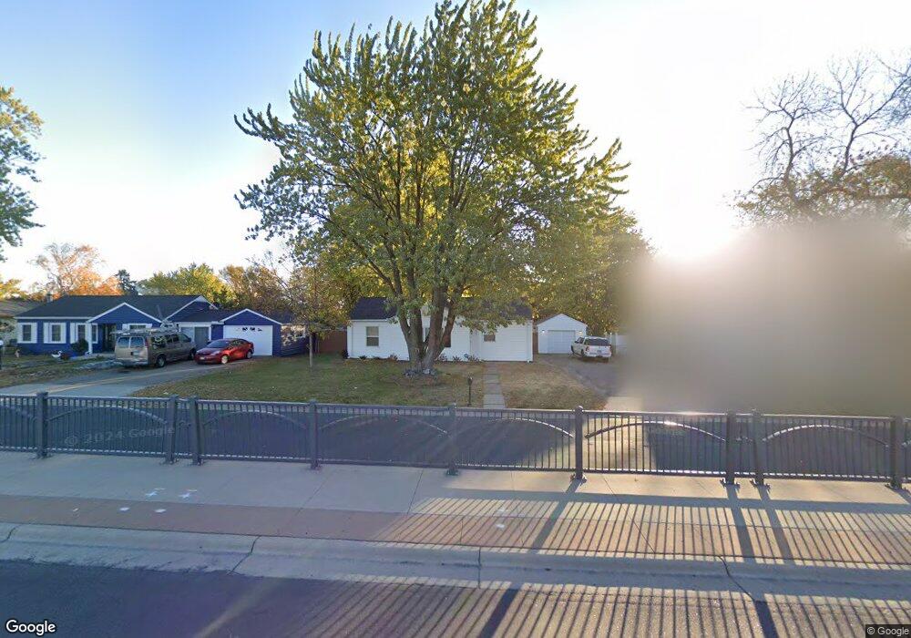
1904 Robert St S Saint Paul, MN 55118
Estimated Value: $262,000 - $315,000
3
Beds
1
Bath
1,172
Sq Ft
$247/Sq Ft
Est. Value
About This Home
This home is located at 1904 Robert St S, Saint Paul, MN 55118 and is currently estimated at $289,600, approximately $247 per square foot. 1904 Robert St S is a home located in Dakota County with nearby schools including Garlough Environmental Magnet, Friendly Hills Middle School, and Two Rivers High School.
Ownership History
Date
Name
Owned For
Owner Type
Purchase Details
Closed on
Sep 19, 2019
Sold by
Arnst Holly
Bought by
Bell Jacqueline
Current Estimated Value
Home Financials for this Owner
Home Financials are based on the most recent Mortgage that was taken out on this home.
Original Mortgage
$191,322
Outstanding Balance
$167,583
Interest Rate
3.6%
Mortgage Type
New Conventional
Estimated Equity
$122,017
Purchase Details
Closed on
May 17, 2019
Sold by
Frees Kurt Kurt
Bought by
Arnst Holly Holly
Home Financials for this Owner
Home Financials are based on the most recent Mortgage that was taken out on this home.
Interest Rate
4.07%
Purchase Details
Closed on
Dec 15, 2003
Sold by
Friedd Gary L
Bought by
Frees Kurt S and Frees Aimee J
Create a Home Valuation Report for This Property
The Home Valuation Report is an in-depth analysis detailing your home's value as well as a comparison with similar homes in the area
Home Values in the Area
Average Home Value in this Area
Purchase History
| Date | Buyer | Sale Price | Title Company |
|---|---|---|---|
| Bell Jacqueline | $197,251 | Cambria Title | |
| Arnst Holly Holly | $125,000 | -- | |
| Frees Kurt S | $170,000 | -- |
Source: Public Records
Mortgage History
| Date | Status | Borrower | Loan Amount |
|---|---|---|---|
| Open | Bell Jacqueline | $191,322 | |
| Previous Owner | Arnst Holly Holly | -- |
Source: Public Records
Tax History Compared to Growth
Tax History
| Year | Tax Paid | Tax Assessment Tax Assessment Total Assessment is a certain percentage of the fair market value that is determined by local assessors to be the total taxable value of land and additions on the property. | Land | Improvement |
|---|---|---|---|---|
| 2024 | $2,416 | $207,600 | $72,100 | $135,500 |
| 2023 | $2,416 | $210,800 | $76,400 | $134,400 |
| 2022 | $2,192 | $206,300 | $76,100 | $130,200 |
| 2021 | $2,108 | $184,500 | $66,200 | $118,300 |
| 2020 | $1,990 | $177,400 | $63,000 | $114,400 |
| 2019 | $2,664 | $165,000 | $60,000 | $105,000 |
| 2018 | $2,619 | $146,700 | $56,100 | $90,600 |
| 2017 | $2,490 | $147,500 | $53,500 | $94,000 |
| 2016 | $1,585 | $133,100 | $48,600 | $84,500 |
| 2015 | $1,623 | $106,531 | $38,526 | $68,005 |
| 2014 | -- | $105,550 | $35,613 | $69,937 |
| 2013 | -- | $95,086 | $31,956 | $63,130 |
Source: Public Records
Map
Nearby Homes
- 1923 Fox Ridge Dr Unit B
- 8XX Humboldt Ave
- 1701 Livingston Ave Unit B
- 2012 Pine Ridge Dr
- 2233 Gilbert Ln
- 4815 Babcock Trail Unit 3010
- 4825 Babcock Trail Unit 2005
- Bayfield Plan at Thompson Square East
- Capri Plan at Thompson Square East
- 1531 Traverse Ln
- Hayward Plan at Thompson Square East
- Barcelona Plan at Thompson Square East
- Athens II Plan at Thompson Square East
- Athens Plan at Thompson Square East
- 360 Trenton Ln
- 1532 Trellis Ln
- 1540 Trellis Ln
- 1538 Trellis Ln
- 1526 Traverse Ln
- 1536 Trellis Ln
- 1910 Robert St S
- 1896 Robert St S
- 1896 S Robert St
- 1903 Kathleen Dr
- 1897 Kathleen Dr
- 1909 Kathleen Dr
- 1896 1896 Robert-Street-s
- 1888 Robert St S
- 1918 Robert St S
- 1917 Kathleen Dr
- 1917 Kathleen Dr
- 1889 Kathleen Dr
- 1917 Kathleen Dr
- 1888 1888 Robert St S
- 118 118 Carol Ln
- 1882 Robert St S
- 1902 Kathleen Dr
- 1883 Kathleen Dr
- 1902 Kathleen Dr
- 140 140 Carol Ln