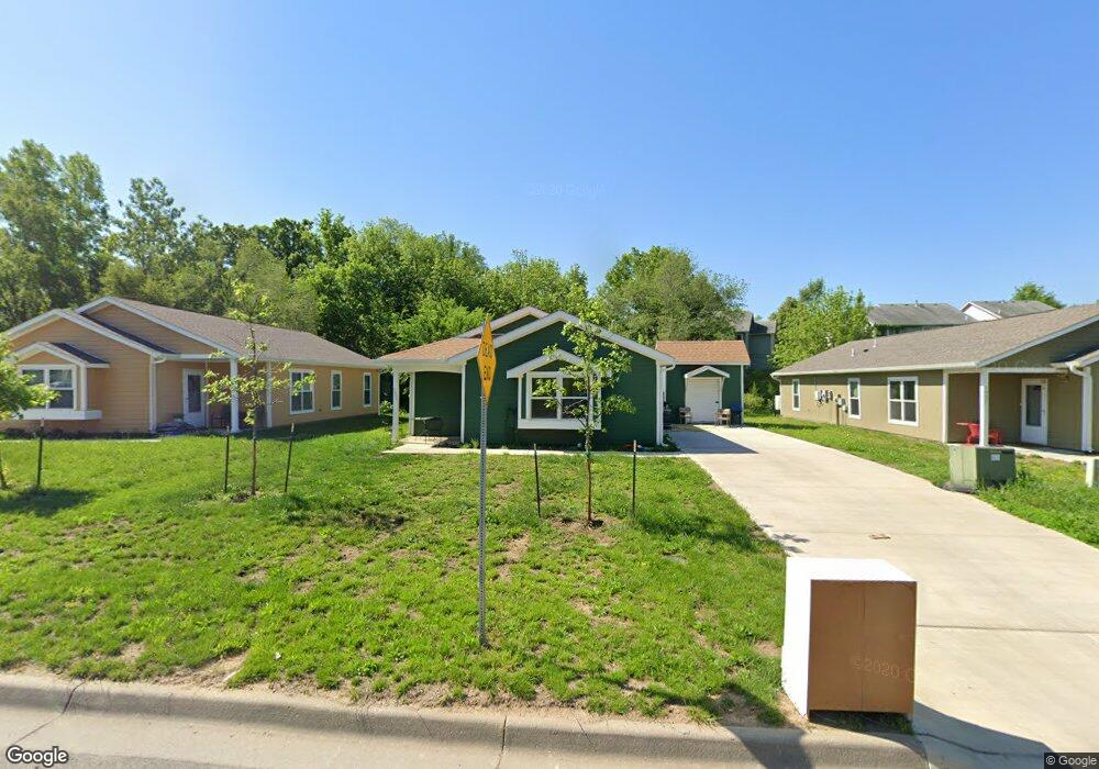
1905 E 17th St Lawrence, KS 66044
Brook Creek NeighborhoodEstimated Value: $247,000 - $312,000
5
Beds
2
Baths
1,616
Sq Ft
$169/Sq Ft
Est. Value
About This Home
This home is located at 1905 E 17th St, Lawrence, KS 66044 and is currently estimated at $272,555, approximately $168 per square foot. 1905 E 17th St is a home with nearby schools including Kennedy Elementary School, Liberty Memorial Central Middle School, and Lawrence High School.
Ownership History
Date
Name
Owned For
Owner Type
Purchase Details
Closed on
Sep 27, 2017
Sold by
Lawrence Habita Fo Humanity Inc
Bought by
Esparza Rebecca
Current Estimated Value
Home Financials for this Owner
Home Financials are based on the most recent Mortgage that was taken out on this home.
Original Mortgage
$49,401
Outstanding Balance
$38,352
Interest Rate
3.89%
Mortgage Type
New Conventional
Estimated Equity
$234,203
Create a Home Valuation Report for This Property
The Home Valuation Report is an in-depth analysis detailing your home's value as well as a comparison with similar homes in the area
Home Values in the Area
Average Home Value in this Area
Purchase History
| Date | Buyer | Sale Price | Title Company |
|---|---|---|---|
| Esparza Rebecca | -- | Kansas Secured Title |
Source: Public Records
Mortgage History
| Date | Status | Borrower | Loan Amount |
|---|---|---|---|
| Open | Esparza Rebecca | $49,401 |
Source: Public Records
Tax History
| Year | Tax Paid | Tax Assessment Tax Assessment Total Assessment is a certain percentage of the fair market value that is determined by local assessors to be the total taxable value of land and additions on the property. | Land | Improvement |
|---|---|---|---|---|
| 2025 | $3,629 | $29,647 | $5,750 | $23,897 |
| 2024 | $3,628 | $29,624 | $5,405 | $24,219 |
| 2023 | $3,383 | $26,540 | $5,175 | $21,365 |
| 2022 | $3,093 | $24,127 | $4,600 | $19,527 |
| 2021 | $2,833 | $21,321 | $4,368 | $16,953 |
| 2020 | $2,623 | $19,864 | $4,368 | $15,496 |
| 2019 | $2,520 | $19,113 | $3,798 | $15,315 |
| 2018 | $2,551 | $19,205 | $3,571 | $15,634 |
| 2017 | $510 | $3,726 | $3,726 | $0 |
| 2016 | $472 | $3,600 | $3,600 | $0 |
| 2015 | -- | $3,600 | $3,600 | $0 |
| 2014 | -- | $3,600 | $3,600 | $0 |
Source: Public Records
Map
Nearby Homes
- 1516 Powers St
- 1603 Harper St
- 1618 E Glenn Dr
- 1708 E 21st Terrace
- 2014 Maple Ln
- 1605 E 21st Place
- 931 Lasalle St
- 2343 Surrey Dr
- 717 Beatnik Ct
- 5701 Johnson Ave
- 5804 Johnson Ave
- 1909 E 25th Terrace
- 1226 Delaware St Unit 12
- 2529 Arlene Place
- 2512 Marcia Ln
- 2604 Mayfair Dr
- 2132 E 26th St
- 1327 New Jersey St
- 1128 Pennsylvania St
- 414 Forrest Ave
- 1909 E 17th St
- 1901 E 17th St
- 1900 E 17th St
- 1828 Atherton Ct
- 1821 E 17th St
- 0 E 17th St Unit LBR140607
- 1626 Lindenwood Ln
- 1832 Atherton Ct
- 1817 E 17th St
- 1824 Atherton Ct
- 1904 E 17th St
- 1615 Lindenwood Ln
- 1820 Atherton Ct
- 1813 E 17th St
- 1622 Lindenwood Ln
- 1917 E 17th St
- 1816 E 17th St
- 1633 Matthew Terrace
- 1816 Atherton Ct
- 1833 Atherton Ct
Your Personal Tour Guide
Ask me questions while you tour the home.