1906 Aspen Ridge SE Cedar Rapids, IA 52403
Estimated Value: $986,000 - $1,241,000
5
Beds
7
Baths
4,757
Sq Ft
$226/Sq Ft
Est. Value
About This Home
This home is located at 1906 Aspen Ridge SE, Cedar Rapids, IA 52403 and is currently estimated at $1,073,793, approximately $225 per square foot. 1906 Aspen Ridge SE is a home located in Linn County with nearby schools including Wilkins Elementary School, Excelsior Middle School, and Linn-Mar High School.
Ownership History
Date
Name
Owned For
Owner Type
Purchase Details
Closed on
Mar 11, 2020
Sold by
Mckinstry Ann C
Bought by
Mckinstry Mark S and Mckinstry Ann C
Current Estimated Value
Purchase Details
Closed on
Nov 30, 2006
Sold by
Mckinstry Mark S and Mckinstry Ann C
Bought by
Mckinstry Ann C and Ann C Mckinstry Revocable Trust
Purchase Details
Closed on
Jul 20, 2005
Sold by
Lakeside Development Co Inc
Bought by
Mckinstry Mark S and Mckinstry Ann C
Create a Home Valuation Report for This Property
The Home Valuation Report is an in-depth analysis detailing your home's value as well as a comparison with similar homes in the area
Home Values in the Area
Average Home Value in this Area
Purchase History
| Date | Buyer | Sale Price | Title Company |
|---|---|---|---|
| Mckinstry Mark S | -- | None Available | |
| Mckinstry Ann C | -- | None Available | |
| Mckinstry Mark S | $249,500 | -- |
Source: Public Records
Tax History Compared to Growth
Tax History
| Year | Tax Paid | Tax Assessment Tax Assessment Total Assessment is a certain percentage of the fair market value that is determined by local assessors to be the total taxable value of land and additions on the property. | Land | Improvement |
|---|---|---|---|---|
| 2025 | $18,592 | $1,000,800 | $194,100 | $806,700 |
| 2024 | $20,632 | $988,200 | $194,100 | $794,100 |
| 2023 | $20,632 | $959,400 | $194,100 | $765,300 |
| 2022 | $18,332 | $911,600 | $153,200 | $758,400 |
| 2021 | $18,914 | $837,000 | $152,700 | $684,300 |
| 2020 | $18,914 | $805,600 | $152,700 | $652,900 |
| 2019 | $18,912 | $814,100 | $152,700 | $661,400 |
| 2018 | $18,106 | $814,100 | $152,700 | $661,400 |
| 2017 | $18,168 | $812,200 | $152,700 | $659,500 |
| 2016 | $18,168 | $812,200 | $152,700 | $659,500 |
| 2015 | $19,616 | $876,000 | $208,050 | $667,950 |
| 2014 | $19,616 | $876,000 | $208,050 | $667,950 |
| 2013 | $18,964 | $876,000 | $208,050 | $667,950 |
Source: Public Records
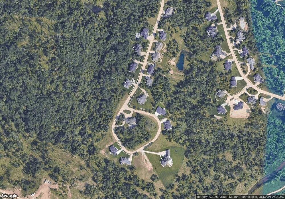
Map
Nearby Homes
- 2215 Timber Wolf Trail SE
- 4725 Green Valley Dr SE
- 5029 Broadlawn Dr SE
- 4809 Mcgowan Dr
- 6201 Lakeside Rd
- 5658 Meadow Grass Cir SE
- 5750 Meadow Grass Cir SE
- 5638 Meadow Grass Cir SE
- 6936 Hackberry Loop
- 6932 Hackberry Loop
- 6849 Pumpkin Patch Blvd
- 6485 Cabbage Patch Place
- 6876 Bottom Land Ln
- 6859 Pumpkin Patch Blvd
- 6934 Hackberry Loop
- Lot 8 S Parkridge Rd
- Lot 7 S Parkridge Rd
- Lot 9 S Parkridge Rd
- 0 S Lot 8 Parkridge Rd Rd
- 0 S Lot 7 Parkridge Rd
- 2000 Aspen Ridge SE
- 1509 Aspen Cir SE
- 1909 Aspen Ridge SE
- 2006 Aspen Ridge SE
- 1804 Aspen Cir SE
- 2007 Aspen Ridge SE
- 1903 Aspen Ridge SE
- 1903 Aspen Ridge SE
- 1515 Aspen Cir SE
- 2012 Aspen Ridge SE
- 1702 Aspen Cir SE
- 1807 Aspen Cir SE
- 2013 Aspen Ridge SE
- 2102 Aspen Ridge SE
- 1601 Aspen Cir SE
- 1801 Aspen Cir SE
- 1607 Aspen Cir SE
- 2107 Aspen Ridge SE
- 2108 Aspen Ridge SE
- 1703 Aspen Cir SE