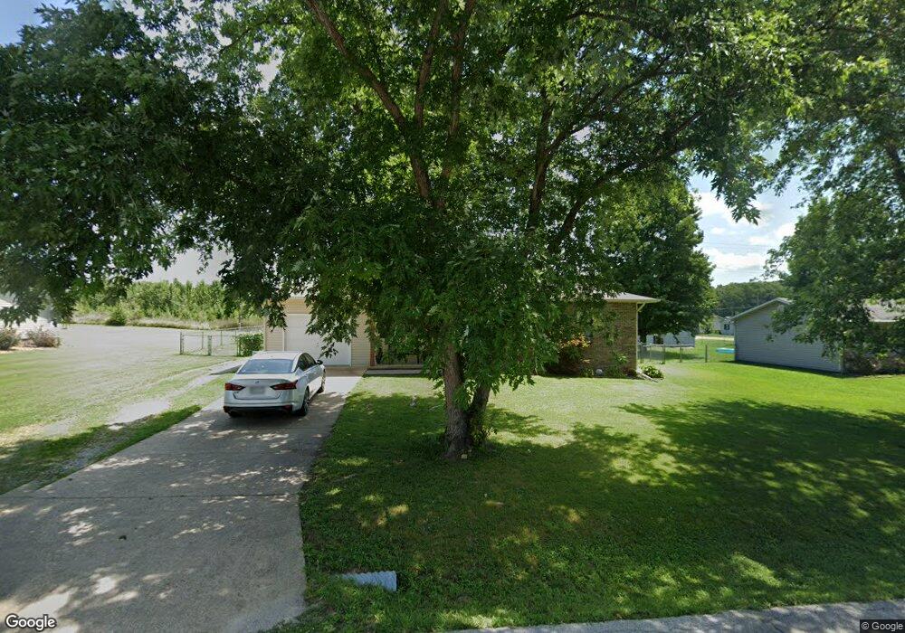
1906 Christopher Dr West Plains, MO 65775
Estimated Value: $132,664 - $183,000
Studio
--
Bath
1,098
Sq Ft
$145/Sq Ft
Est. Value
About This Home
This home is located at 1906 Christopher Dr, West Plains, MO 65775 and is currently estimated at $159,666, approximately $145 per square foot. 1906 Christopher Dr is a home with nearby schools including Faith Assembly Christian School.
Ownership History
Date
Name
Owned For
Owner Type
Purchase Details
Closed on
Jun 15, 2009
Sold by
Neideffer Patricia J
Bought by
Fain Robert D and Fain Sarah Beth
Current Estimated Value
Home Financials for this Owner
Home Financials are based on the most recent Mortgage that was taken out on this home.
Original Mortgage
$101,490
Outstanding Balance
$63,604
Interest Rate
4.7%
Mortgage Type
New Conventional
Estimated Equity
$96,062
Purchase Details
Closed on
Oct 20, 2005
Sold by
T T & M Investments Inc
Bought by
Neideffer Donald L and Neideffer Patricia J
Create a Home Valuation Report for This Property
The Home Valuation Report is an in-depth analysis detailing your home's value as well as a comparison with similar homes in the area
Home Values in the Area
Average Home Value in this Area
Purchase History
| Date | Buyer | Sale Price | Title Company |
|---|---|---|---|
| Fain Robert D | -- | Btc | |
| Neideffer Donald L | -- | Btc |
Source: Public Records
Mortgage History
| Date | Status | Borrower | Loan Amount |
|---|---|---|---|
| Open | Fain Robert D | $101,490 |
Source: Public Records
Tax History
| Year | Tax Paid | Tax Assessment Tax Assessment Total Assessment is a certain percentage of the fair market value that is determined by local assessors to be the total taxable value of land and additions on the property. | Land | Improvement |
|---|---|---|---|---|
| 2025 | $499 | $15,460 | $2,390 | $13,070 |
| 2024 | $499 | $13,810 | -- | -- |
| 2023 | $499 | $13,810 | -- | -- |
| 2022 | $473 | $13,100 | $0 | $0 |
| 2021 | $444 | $13,100 | $0 | $0 |
| 2020 | $444 | $12,220 | $0 | $0 |
| 2019 | $468 | $12,220 | $0 | $0 |
| 2018 | $468 | $12,220 | $0 | $0 |
| 2017 | $468 | $12,220 | $0 | $0 |
| 2015 | -- | $11,800 | $0 | $0 |
| 2014 | -- | $11,560 | $0 | $0 |
| 2013 | -- | $11,560 | $0 | $0 |
Source: Public Records
Map
Nearby Homes
- 1917 Christopher St
- 1913 Katherine Dr
- 2416 Gleghorn St
- 1804 Christopher St
- 4949 State Route Cc
- 000 Gleghorn St
- 2004 Lynn Dr
- 1931 Kay Dr
- 3004 Greer Spring St
- 000 Millwood Subdivision
- 000 County Road 4100
- 2815 Burke Ave
- 000 Joann Dr
- 1303 Westwood Dr
- 1709 Westway Dr
- 2808 Burke Ave
- 2810 Burke Ave
- 3013 Westway Dr
- 1605 Padgett St
- 1908 Timber Ln
- 1904 Christopher St
- 1908 Christopher Dr
- 1904 Christopher Dr
- 1905 Christopher St
- 1907 Christopher St
- 1903 Christopher St
- 1910 Christopher Dr
- 2319 Terra St
- 1909 Christopher St
- Tbd Lot 13 Christopher St
- 00 Christopher St
- 1906 Katherine Dr
- 1908 Katherine Dr
- 2317 Terra St
- 1902 Katherine Dr
- 2322 Terra St
- 1911 Christopher Dr
- Tbd Katherine Dr
- Tbd Lot 11 Katherine Dr
- 1915 Christopher Dr