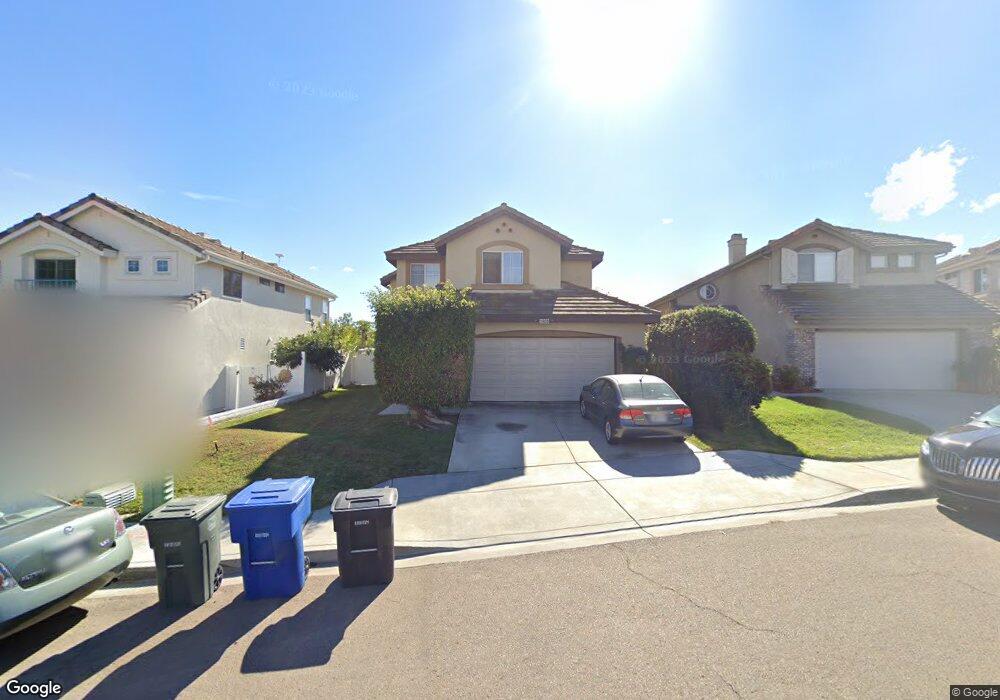
1906 Marquis Ct Chula Vista, CA 91913
Eastlake NeighborhoodEstimated Value: $931,000 - $1,175,000
4
Beds
3
Baths
1,930
Sq Ft
$532/Sq Ft
Est. Value
About This Home
This home is located at 1906 Marquis Ct, Chula Vista, CA 91913 and is currently estimated at $1,027,654, approximately $532 per square foot. 1906 Marquis Ct is a home located in San Diego County with nearby schools including Burton C. Tiffany Elementary School, Bonita Vista Middle School, and Eastlake High School.
Ownership History
Date
Name
Owned For
Owner Type
Purchase Details
Closed on
Jun 11, 1998
Sold by
Newman Kenneth D and Newman Theresa G
Bought by
Prendergast Timothy E and Prendergast Susan M
Current Estimated Value
Home Financials for this Owner
Home Financials are based on the most recent Mortgage that was taken out on this home.
Original Mortgage
$208,905
Outstanding Balance
$41,720
Interest Rate
7.03%
Estimated Equity
$985,934
Purchase Details
Closed on
May 23, 1995
Sold by
Baldwin Builders
Bought by
Newman Kenneth D and Newman Theresa G
Home Financials for this Owner
Home Financials are based on the most recent Mortgage that was taken out on this home.
Original Mortgage
$185,600
Interest Rate
8.36%
Create a Home Valuation Report for This Property
The Home Valuation Report is an in-depth analysis detailing your home's value as well as a comparison with similar homes in the area
Home Values in the Area
Average Home Value in this Area
Purchase History
| Date | Buyer | Sale Price | Title Company |
|---|---|---|---|
| Prendergast Timothy E | $220,000 | First American Title | |
| Newman Kenneth D | $195,500 | First American Title |
Source: Public Records
Mortgage History
| Date | Status | Borrower | Loan Amount |
|---|---|---|---|
| Open | Prendergast Timothy E | $208,905 | |
| Previous Owner | Newman Kenneth D | $185,600 |
Source: Public Records
Tax History Compared to Growth
Tax History
| Year | Tax Paid | Tax Assessment Tax Assessment Total Assessment is a certain percentage of the fair market value that is determined by local assessors to be the total taxable value of land and additions on the property. | Land | Improvement |
|---|---|---|---|---|
| 2025 | $4,438 | $344,711 | $121,861 | $222,850 |
| 2024 | $4,438 | $337,953 | $119,472 | $218,481 |
| 2023 | $4,374 | $331,328 | $117,130 | $214,198 |
| 2022 | $4,263 | $324,833 | $114,834 | $209,999 |
| 2021 | $4,172 | $318,465 | $112,583 | $205,882 |
| 2020 | $4,084 | $315,200 | $111,429 | $203,771 |
| 2019 | $5,337 | $309,021 | $109,245 | $199,776 |
| 2018 | $5,251 | $302,962 | $107,103 | $195,859 |
| 2017 | $5,165 | $297,022 | $105,003 | $192,019 |
| 2016 | $4,994 | $291,199 | $102,945 | $188,254 |
| 2015 | $4,886 | $286,826 | $101,399 | $185,427 |
| 2014 | $4,835 | $281,208 | $99,413 | $181,795 |
Source: Public Records
Map
Nearby Homes
- 1925 Otay Lakes Rd Unit 69
- 1925 Otay Lakes Rd Unit 136
- 1925 Otay Lakes Rd Unit 43
- 1925 Otay Lakes Rd Unit 78
- 1925 Otay Lakes Rd Unit 39
- 1054 Forest Hill Place
- 1761 Harvard St
- 2083 Lakeridge Cir Unit 104
- 1777 Clover Tree Ct
- 731 Brookstone Rd Unit 103
- 749 Brookstone Rd Unit 101
- 2015 Lakeridge Cir Unit 301
- 773 Brookstone Rd Unit 304
- 1271 Gorge Run Way Unit 3
- 2018 Bridgeport
- 774 Eastshore Terrace Unit 169
- 1279 Fools Gold Way Unit 2
- 767 Eastshore Terrace Unit 223
- 757 Eastshore Terrace Unit 210
- 678 Rue Avallon
- 1904 Marquis Ct
- 1908 Marquis Ct
- 1902 Marquis Ct
- 1910 Marquis Ct
- 1900 Marquis Ct
- 1912 Marquis Ct
- 1898 Marquis Ct
- 1905 Marquis Ct
- 1907 Marquis Ct
- 1914 Marquis Ct
- 1903 Marquis Ct
- 1896 Marquis Ct
- 1901 Marquis Ct
- 1916 Marquis Ct
- 1899 Marquis Ct
- 1918 Marquis Ct
- 1894 Marquis Ct
- 1897 Marquis Ct
- 1920 Marquis Ct
- 1892 Marquis Ct