1906 Pea Ridge Rd Dubach, LA 71235
Estimated Value: $178,000 - $230,000
--
Bed
--
Bath
1,260
Sq Ft
$166/Sq Ft
Est. Value
About This Home
This home is located at 1906 Pea Ridge Rd, Dubach, LA 71235 and is currently estimated at $208,790, approximately $165 per square foot. 1906 Pea Ridge Rd is a home located in Lincoln Parish with nearby schools including Hillcrest Elementary School, Ruston Elementary School, and Ruston Junior High School.
Ownership History
Date
Name
Owned For
Owner Type
Purchase Details
Closed on
Mar 22, 2024
Sold by
Spillers Smith Mary Kathrine
Bought by
Smith Grady
Current Estimated Value
Home Financials for this Owner
Home Financials are based on the most recent Mortgage that was taken out on this home.
Original Mortgage
$215,269
Outstanding Balance
$210,028
Interest Rate
6.77%
Mortgage Type
New Conventional
Estimated Equity
-$1,238
Purchase Details
Closed on
Dec 8, 2022
Sold by
Spillers Smith Mary Kathrine
Bought by
Smith Grady Todd and Smith Lori Lawrence
Purchase Details
Closed on
Apr 26, 2006
Sold by
Sumlin William R and Sumlin Catherine Murphy
Bought by
Smith Grady Todd
Create a Home Valuation Report for This Property
The Home Valuation Report is an in-depth analysis detailing your home's value as well as a comparison with similar homes in the area
Home Values in the Area
Average Home Value in this Area
Purchase History
| Date | Buyer | Sale Price | Title Company |
|---|---|---|---|
| Smith Grady | $225,000 | None Listed On Document | |
| Smith Grady Todd | $180,000 | -- | |
| Smith Grady Todd | $14,500 | None Available |
Source: Public Records
Mortgage History
| Date | Status | Borrower | Loan Amount |
|---|---|---|---|
| Open | Smith Grady | $215,269 |
Source: Public Records
Tax History Compared to Growth
Tax History
| Year | Tax Paid | Tax Assessment Tax Assessment Total Assessment is a certain percentage of the fair market value that is determined by local assessors to be the total taxable value of land and additions on the property. | Land | Improvement |
|---|---|---|---|---|
| 2024 | $1,194 | $14,052 | $2,375 | $11,677 |
| 2023 | $1,126 | $12,783 | $2,410 | $10,373 |
| 2022 | $1,132 | $12,783 | $2,410 | $10,373 |
| 2021 | $1,047 | $12,784 | $2,410 | $10,374 |
| 2020 | $1,046 | $12,694 | $2,410 | $10,284 |
| 2019 | $1,021 | $12,694 | $2,410 | $10,284 |
| 2018 | $993 | $12,694 | $2,410 | $10,284 |
| 2017 | $995 | $12,694 | $2,410 | $10,284 |
| 2016 | $991 | $0 | $0 | $0 |
| 2015 | $987 | $11,589 | $2,115 | $9,474 |
| 2013 | $1,002 | $11,589 | $2,115 | $9,474 |
Source: Public Records
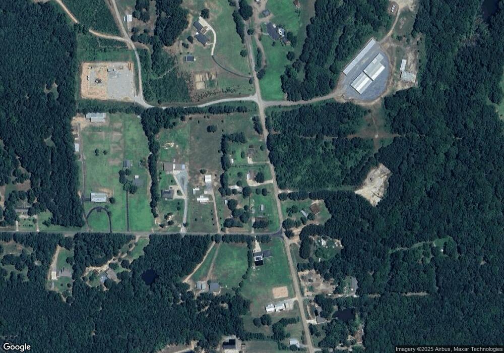
Map
Nearby Homes
- 0 Goodgoin Rd
- 136 Shade Tree Trace
- 137 Mount Harmony Church Rd
- Lot 1B Unit 1 Harmony Church Rd
- 180 Vz Top Farm Rd
- 193 Mount Harmony Church Rd
- 209 Mount Harmony Church Rd
- 1108 Pea Ridge Rd
- 641 Goodgoin Rd
- 186 Deer Creek Rd
- 3252 Highway 821
- 111 Evergreen Dr
- 128 Marlou Cir
- 000 Highway 167
- 145 Woodshire Ln
- 611 Stable Rd
- 3114 Canal St
- 197 Baxter Rd
- 1709 Rampart Dr
- 0 English Turn
- 745 Ball Rd
- 1894 Pea Ridge Rd
- 757 Ball Rd
- 1925 Pea Ridge Rd
- 713 Ball Rd
- 764 Ball Rd
- 1941 Pea Ridge Rd
- 746 Ball Rd
- 1857 Pea Ridge Rd
- 1991 Pea Ridge Rd
- 1965 Pea Ridge Rd
- 673 Ball Rd
- 1977 Pea Ridge Rd
- 1977 Pea Ridge Rd
- 698 Ball Rd
- 1988 Pea Ridge Rd
- 1935 Pea Ridge Rd
- 656 Ball Rd
- 2004 Pea Ridge Rd
- 140 Compound Ln