1906 Powers Ave Clovis, CA 93619
Estimated Value: $1,181,000 - $1,532,850
4
Beds
4
Baths
3,814
Sq Ft
$357/Sq Ft
Est. Value
About This Home
This home is located at 1906 Powers Ave, Clovis, CA 93619 and is currently estimated at $1,363,463, approximately $357 per square foot. 1906 Powers Ave is a home with nearby schools including Dry Creek Elementary School, Alta Sierra Intermediate School, and Buchanan High School.
Ownership History
Date
Name
Owned For
Owner Type
Purchase Details
Closed on
May 31, 2017
Sold by
Gvm Development Llc
Bought by
Finegan Timothy and Finegan Amber
Current Estimated Value
Home Financials for this Owner
Home Financials are based on the most recent Mortgage that was taken out on this home.
Original Mortgage
$788,746
Outstanding Balance
$656,072
Interest Rate
4.02%
Mortgage Type
New Conventional
Estimated Equity
$707,391
Create a Home Valuation Report for This Property
The Home Valuation Report is an in-depth analysis detailing your home's value as well as a comparison with similar homes in the area
Home Values in the Area
Average Home Value in this Area
Purchase History
| Date | Buyer | Sale Price | Title Company |
|---|---|---|---|
| Finegan Timothy | $986,500 | Old Republic Title Concord |
Source: Public Records
Mortgage History
| Date | Status | Borrower | Loan Amount |
|---|---|---|---|
| Open | Finegan Timothy | $788,746 |
Source: Public Records
Tax History
| Year | Tax Paid | Tax Assessment Tax Assessment Total Assessment is a certain percentage of the fair market value that is determined by local assessors to be the total taxable value of land and additions on the property. | Land | Improvement |
|---|---|---|---|---|
| 2025 | $15,028 | $1,230,281 | $377,187 | $853,094 |
| 2023 | $14,737 | $1,132,510 | $362,542 | $769,968 |
| 2022 | $13,656 | $1,110,305 | $355,434 | $754,871 |
| 2021 | $13,252 | $1,088,535 | $348,465 | $740,070 |
| 2020 | $13,188 | $1,077,374 | $344,892 | $732,482 |
| 2019 | $12,572 | $1,026,250 | $338,130 | $688,120 |
| 2018 | $12,290 | $1,006,128 | $331,500 | $674,628 |
| 2017 | $1,699 | $108,012 | $108,012 | $0 |
| 2016 | $1,650 | $105,895 | $105,895 | $0 |
| 2015 | $1,395 | $104,305 | $104,305 | $0 |
| 2014 | $809 | $61,820 | $61,820 | $0 |
Source: Public Records
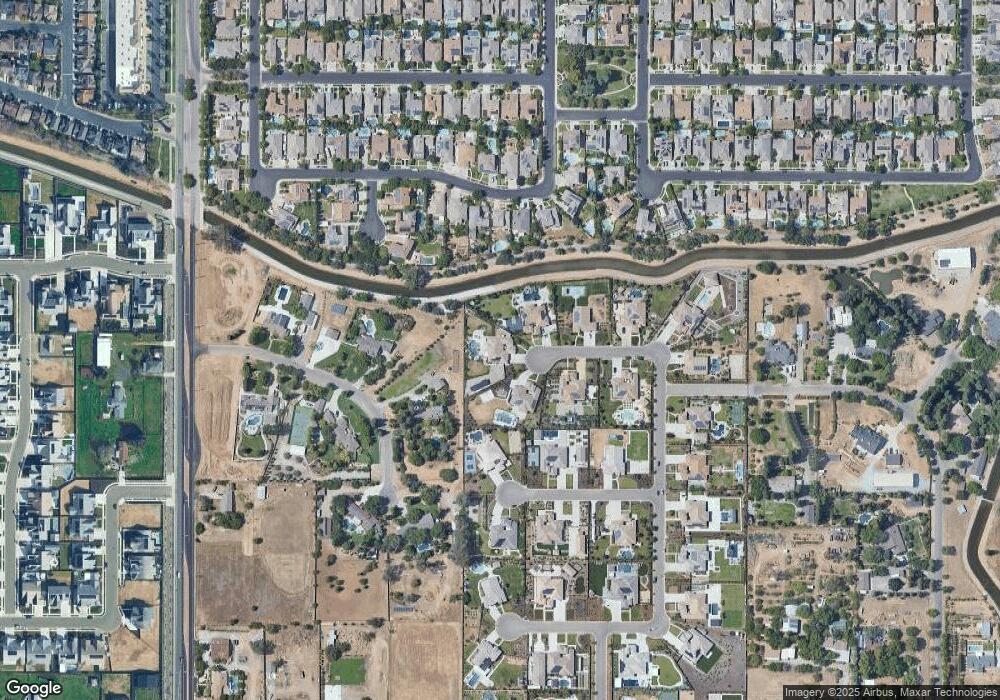
Map
Nearby Homes
- 1785 N Renn Ave
- 1765 N Renn Ave
- 1923 N Douglas Ave
- 2271 Serena Ave
- 2319 Prescott Ave
- 8220 N Fowler Ave
- 2023 N Wagon Ln
- 2029 N Wagon Ln
- 1684 Heirloom Ave
- 2035 N Wagon Ln
- The Foxfield Plan at Farmstead - Ivy Gate Series
- The Beaumont Plan at Farmstead - Ivy Gate Series
- The Sun Porch With Bonus Plan at Farmstead - Ivy Gate Series
- The Chateau Plan at Farmstead - Ivy Gate Series
- The Chateau with Bonus Plan at Farmstead - Ivy Gate Series
- The Sun Porch Plan at Farmstead - Ivy Gate Series
- The Gable Plan at Farmstead - Ivy Gate Series
- 2041 N Wagon Ln
- 2047 N Wagon Ln
- 2053 N Wagon Ln
- 1926 Powers Ave
- 1927 Powers Ave
- 5592 E Cole Ave
- 1946 Powers Ave
- 1919 Vermont Ave
- 1947 Powers Ave
- 1969 Vermont Ave
- 5574 E Cole Ave
- 1966 Powers Ave
- 1954 Lester Ave
- 1974 Lester Ave
- 1807 N Whittier Ave
- 1934 Lester Ave
- 1984 Lester Ave
- 1994 Lester Ave
- 1989 Vermont Ave
- 1924 Lester Ave
- 1928 Vermont Ave
- 1817 N Whittier Ave
- 1967 Powers Ave