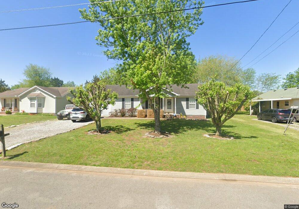
1906 Westerwald Dr Murfreesboro, TN 37127
Estimated Value: $280,273 - $328,000
Studio
2
Baths
1,118
Sq Ft
$271/Sq Ft
Est. Value
About This Home
This home is located at 1906 Westerwald Dr, Murfreesboro, TN 37127 and is currently estimated at $303,068, approximately $271 per square foot. 1906 Westerwald Dr is a home located in Rutherford County with nearby schools including Black Fox Elementary School, Whitworth-Buchanan Middle School, and Riverdale High School.
Ownership History
Date
Name
Owned For
Owner Type
Purchase Details
Closed on
Jun 25, 2007
Sold by
Anderson Ryan D
Bought by
Blair and Rachel
Current Estimated Value
Home Financials for this Owner
Home Financials are based on the most recent Mortgage that was taken out on this home.
Original Mortgage
$110,000
Outstanding Balance
$67,890
Interest Rate
6.35%
Estimated Equity
$235,178
Purchase Details
Closed on
May 20, 1999
Sold by
Gipson and Karen
Bought by
Anderson Ryan D
Home Financials for this Owner
Home Financials are based on the most recent Mortgage that was taken out on this home.
Original Mortgage
$84,856
Interest Rate
6.84%
Purchase Details
Closed on
Mar 2, 1999
Sold by
Grw Developers
Bought by
Gipson and Karen
Create a Home Valuation Report for This Property
The Home Valuation Report is an in-depth analysis detailing your home's value as well as a comparison with similar homes in the area
Home Values in the Area
Average Home Value in this Area
Purchase History
| Date | Buyer | Sale Price | Title Company |
|---|---|---|---|
| Blair | $120,000 | -- | |
| Anderson Ryan D | $84,900 | -- | |
| Gipson | $53,700 | -- |
Source: Public Records
Mortgage History
| Date | Status | Borrower | Loan Amount |
|---|---|---|---|
| Open | Gipson | $110,000 | |
| Previous Owner | Gipson | $84,856 |
Source: Public Records
Tax History
| Year | Tax Paid | Tax Assessment Tax Assessment Total Assessment is a certain percentage of the fair market value that is determined by local assessors to be the total taxable value of land and additions on the property. | Land | Improvement |
|---|---|---|---|---|
| 2025 | $1,656 | $58,525 | $13,750 | $44,775 |
| 2024 | $1,656 | $58,525 | $13,750 | $44,775 |
| 2023 | $1,098 | $58,525 | $13,750 | $44,775 |
| 2022 | $946 | $58,525 | $13,750 | $44,775 |
| 2021 | $872 | $39,275 | $9,375 | $29,900 |
| 2020 | $872 | $39,275 | $9,375 | $29,900 |
| 2019 | $872 | $39,275 | $9,375 | $29,900 |
| 2018 | $1,198 | $39,275 | $0 | $0 |
| 2017 | $1,044 | $26,875 | $0 | $0 |
| 2016 | $1,044 | $26,875 | $0 | $0 |
| 2015 | $1,044 | $26,875 | $0 | $0 |
| 2014 | $668 | $26,875 | $0 | $0 |
| 2013 | -- | $27,300 | $0 | $0 |
Source: Public Records
Map
Nearby Homes
- 2022 Tobey Ln
- 2511 Lismore Dr
- 2103 Halligen Ct
- 3023 Citrine Dr
- 2363 Irby Ln
- 2260 Viking Ct
- 3027 Citrine Dr
- 3024 Citrine Dr
- 3031 Citrine Dr
- 3028 Citrine Dr
- 3035 Citrine Dr
- 3039 Citrine Dr
- 3040 Citrine Dr
- 3044 Citrine Dr
- 2131 S Rutherford Blvd
- 2422 Turtle Trace
- 3109 Citrine Dr
- 3117 Citrine Dr
- 2223 Viking Ct
- 1706 Garnet Way
- 1910 Westerwald Dr
- 2618 Lincoya Dr
- 1907 Newark Ct
- 1914 Westerwald Dr
- 1911 Newark Ct
- 1903 Newark Ct
- 1907 Westerwald Dr
- 1911 Westerwald Dr
- 1915 Newark Ct
- 2702 Lincoya Dr
- 1918 Westerwald Dr
- 1915 Westerwald Dr
- 2619 Lincoya Dr
- 2615 Lincoya Dr
- 1919 Newark Ct
- 2703 Lincoya Dr
- 1906 Newark Ct
- 2611 Lincoya Dr
- 1922 Westerwald Dr
Your Personal Tour Guide
Ask me questions while you tour the home.