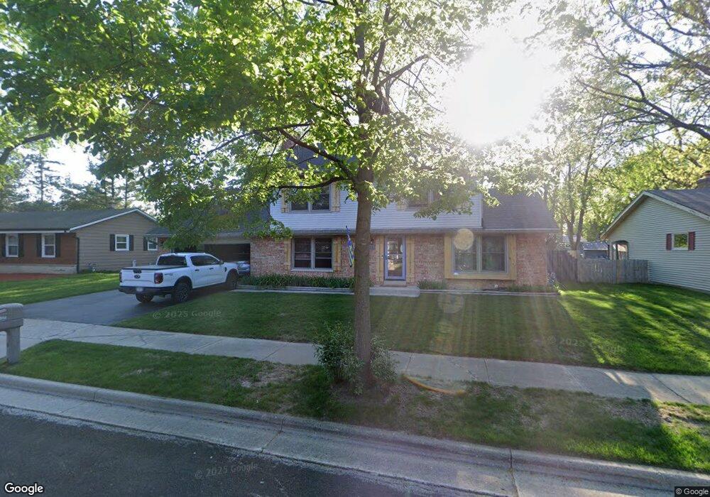
1908 Dixie Dr Waukesha, WI 53189
Estimated Value: $375,000 - $405,645
4
Beds
2
Baths
1,753
Sq Ft
$223/Sq Ft
Est. Value
About This Home
This home is located at 1908 Dixie Dr, Waukesha, WI 53189 and is currently estimated at $390,161, approximately $222 per square foot. 1908 Dixie Dr is a home located in Waukesha County with nearby schools including Prairie Elementary School, Les Paul Middle School - Central Campus, and West High School.
Ownership History
Date
Name
Owned For
Owner Type
Purchase Details
Closed on
Oct 27, 2010
Sold by
Andrus Randall Dale
Bought by
Andrus Jennifer Lynn
Current Estimated Value
Purchase Details
Closed on
Aug 29, 2003
Sold by
Shier Marsha J and Peterson Marsha J
Bought by
Andrus Randall D and Andrus Jennifer L
Home Financials for this Owner
Home Financials are based on the most recent Mortgage that was taken out on this home.
Original Mortgage
$170,050
Outstanding Balance
$79,970
Interest Rate
6.44%
Mortgage Type
Purchase Money Mortgage
Estimated Equity
$310,191
Create a Home Valuation Report for This Property
The Home Valuation Report is an in-depth analysis detailing your home's value as well as a comparison with similar homes in the area
Home Values in the Area
Average Home Value in this Area
Purchase History
| Date | Buyer | Sale Price | Title Company |
|---|---|---|---|
| Andrus Jennifer Lynn | -- | None Available | |
| Andrus Randall D | $180,500 | -- |
Source: Public Records
Mortgage History
| Date | Status | Borrower | Loan Amount |
|---|---|---|---|
| Open | Andrus Randall D | $170,050 |
Source: Public Records
Tax History Compared to Growth
Tax History
| Year | Tax Paid | Tax Assessment Tax Assessment Total Assessment is a certain percentage of the fair market value that is determined by local assessors to be the total taxable value of land and additions on the property. | Land | Improvement |
|---|---|---|---|---|
| 2024 | $7,186 | $318,600 | $62,600 | $256,000 |
| 2023 | $6,896 | $318,600 | $62,600 | $256,000 |
| 2022 | $5,195 | $213,600 | $63,700 | $149,900 |
| 2021 | $6,039 | $213,600 | $63,700 | $149,900 |
| 2020 | $5,644 | $213,600 | $63,700 | $149,900 |
| 2019 | $5,090 | $213,600 | $63,700 | $149,900 |
| 2018 | $4,565 | $192,400 | $56,200 | $136,200 |
| 2017 | $4,551 | $192,400 | $56,200 | $136,200 |
| 2016 | $4,388 | $171,800 | $54,300 | $117,500 |
| 2015 | $4,246 | $171,800 | $54,300 | $117,500 |
| 2014 | $3,518 | $171,800 | $54,300 | $117,500 |
| 2013 | $3,518 | $171,800 | $54,300 | $117,500 |
Source: Public Records
Map
Nearby Homes
- 2010 Dixie Dr
- 1722 Sycamore Dr
- 1101 Dogwood Ln
- 1909 Mallard Pointe Cir
- 1706 Haymarket Rd
- 1210 Woodbury Common Unit C
- 1203 Woodbury Common Unit D
- 1277 Market Place
- 1523 David Ln
- LtD59 White Deer Trail
- 812 Timber Ridge Ct Unit 10
- S54W25487 Pebble Brook Ct
- S54W25436 Pebble Brook Ct
- 300 Darlene Dr
- 801 Timber Ridge Dr
- Lt6 Finch Ct
- 1906 Marliz Dr
- 2415 Fox River Pkwy Unit H
- 2426 Fox River Pkwy Unit G
- 314 Coolidge Ave
- 1912 Dixie Dr
- 1909 Dixie Dr
- 1905 Dixie Dr
- 1913 Dixie Dr
- 1909 Chapman Dr
- 1905 Chapman Dr
- 1913 Chapman Dr
- 1001 Burr Oak Blvd
- 1005 Burr Oak Blvd
- 1917 Chapman Dr
- 1920 Dixie Dr
- 925 Burr Oak Blvd
- 1917 Dixie Dr
- 1921 Chapman Dr
- 1921 Dixie Dr
- 1908 Chapman Dr
- 1904 Chapman Dr
- 1912 Chapman Dr
- 1924 Dixie Dr
- 1925 Chapman Dr