1908 Highway 18 Wesley, IA 50483
Estimated Value: $59,585 - $144,000
Studio
1
Bath
1,360
Sq Ft
$74/Sq Ft
Est. Value
About This Home
This home is located at 1908 Highway 18, Wesley, IA 50483 and is currently estimated at $101,195, approximately $74 per square foot. 1908 Highway 18 is a home located in Kossuth County with nearby schools including Bertha Godfrey Elementary School, Lucia Wallace Elementary School, and Bryant Elementary School.
Ownership History
Date
Name
Owned For
Owner Type
Purchase Details
Closed on
Aug 30, 2024
Sold by
Simon-Prestel Susan K and Prestel Scott
Bought by
Audas Jane Simon and Audas Mark
Current Estimated Value
Purchase Details
Closed on
Jul 24, 2012
Sold by
Weiland Ronald E and Weiland Caecilia M
Bought by
Welland Ronald E and The Ronald E Welland Trust
Create a Home Valuation Report for This Property
The Home Valuation Report is an in-depth analysis detailing your home's value as well as a comparison with similar homes in the area
Purchase History
| Date | Buyer | Sale Price | Title Company |
|---|---|---|---|
| Audas Jane Simon | -- | None Listed On Document | |
| Welland Ronald E | -- | None Available |
Source: Public Records
Tax History
| Year | Tax Paid | Tax Assessment Tax Assessment Total Assessment is a certain percentage of the fair market value that is determined by local assessors to be the total taxable value of land and additions on the property. | Land | Improvement |
|---|---|---|---|---|
| 2025 | $1,148 | $15,308 | $13,787 | $1,521 |
| 2024 | $1,148 | $11,622 | $10,383 | $1,239 |
| 2023 | $1,368 | $11,622 | $10,383 | $1,239 |
| 2022 | $1,182 | $8,746 | $7,955 | $791 |
| 2021 | $1,080 | $9,251 | $8,401 | $850 |
| 2020 | $5,192 | $99,929 | $8,263 | $91,666 |
| 2019 | $1,094 | $102,783 | $0 | $0 |
| 2018 | $1,012 | $100,168 | $0 | $0 |
| 2017 | $944 | $97,135 | $0 | $0 |
| 2016 | $924 | $97,135 | $0 | $0 |
| 2015 | $974 | $98,877 | $0 | $0 |
| 2014 | $966 | $101,524 | $0 | $0 |
Source: Public Records
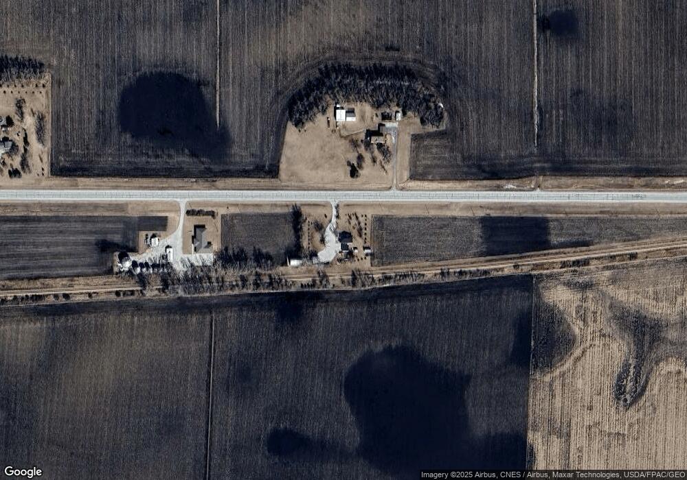
Map
Nearby Homes
- 311 2nd St S
- 401 Lease St
- 2317 E Spruce St
- 2313 E Spruce St
- 2109 E Spruce St
- 122 Parkside Dr
- 2011 E Lucas St
- 213 N Clarke St
- 1902 E Lucas St
- 1809 E Locust St
- 1902 E State St
- 1708 E Oak St
- 1703 E Mcgregor St
- 1426 E Lucas St
- 1414 E Linden St
- 1317 E Commercial St
- 702 Diagonal St
- 120 S Roan St
- 739 N Durant St
- 1014 E Call St
Your Personal Tour Guide
Ask me questions while you tour the home.