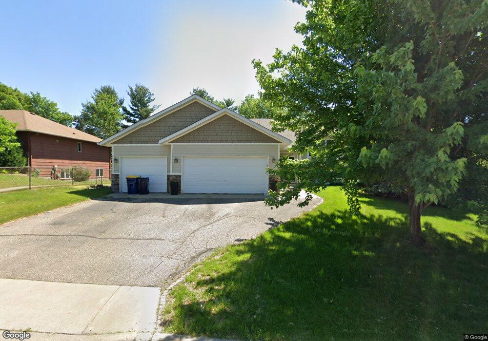
1909 Lincoln St S Northfield, MN 55057
Estimated Value: $397,000 - $420,000
4
Beds
2
Baths
1,362
Sq Ft
$301/Sq Ft
Est. Value
About This Home
This home is located at 1909 Lincoln St S, Northfield, MN 55057 and is currently estimated at $409,495, approximately $300 per square foot. 1909 Lincoln St S is a home located in Rice County with nearby schools including Bridgewater Elementary School, Northfield Middle School, and Northfield Senior High School.
Ownership History
Date
Name
Owned For
Owner Type
Purchase Details
Closed on
Aug 10, 2016
Sold by
Hetrick Mark A and Hetrick Dawn M
Bought by
Winter Kari J
Current Estimated Value
Home Financials for this Owner
Home Financials are based on the most recent Mortgage that was taken out on this home.
Original Mortgage
$253,650
Outstanding Balance
$202,383
Interest Rate
3.48%
Mortgage Type
New Conventional
Estimated Equity
$207,112
Create a Home Valuation Report for This Property
The Home Valuation Report is an in-depth analysis detailing your home's value as well as a comparison with similar homes in the area
Home Values in the Area
Average Home Value in this Area
Purchase History
| Date | Buyer | Sale Price | Title Company |
|---|---|---|---|
| Winter Kari J | $267,000 | Rice County Abstract & Title |
Source: Public Records
Mortgage History
| Date | Status | Borrower | Loan Amount |
|---|---|---|---|
| Open | Winter Kari J | $253,650 |
Source: Public Records
Tax History Compared to Growth
Tax History
| Year | Tax Paid | Tax Assessment Tax Assessment Total Assessment is a certain percentage of the fair market value that is determined by local assessors to be the total taxable value of land and additions on the property. | Land | Improvement |
|---|---|---|---|---|
| 2025 | $6,394 | $381,900 | $74,400 | $307,500 |
| 2024 | $6,394 | $365,100 | $68,800 | $296,300 |
| 2023 | $5,294 | $365,100 | $68,800 | $296,300 |
| 2022 | $4,676 | $332,900 | $65,100 | $267,800 |
| 2021 | $4,574 | $288,300 | $55,800 | $232,500 |
| 2020 | $4,472 | $278,600 | $55,800 | $222,800 |
| 2019 | $4,168 | $267,600 | $53,900 | $213,700 |
| 2018 | $4,002 | $247,700 | $52,100 | $195,600 |
| 2017 | $3,608 | $234,700 | $48,400 | $186,300 |
| 2016 | $3,478 | $230,500 | $48,400 | $182,100 |
| 2015 | $3,374 | $213,200 | $48,400 | $164,800 |
| 2014 | -- | $208,500 | $48,400 | $160,100 |
Source: Public Records
Map
Nearby Homes
- 2004 Lincoln St S
- 1741 Roosevelt Dr
- 2206 Grant Ct
- 1707 Jackson Ct
- 1819 Truman Ct
- 709 Carter Dr
- 2116 Park Pointe Dr
- 1504 Pheasantwood Trail
- 2200 Greenfield Dr W
- 2220 Greenfield Dr E
- Outlot Honeylocust Dr
- 1513 Senate Ln
- 2620 Oak Lawn Dr
- 2704 Oak Lawn Dr
- 2708 Oak Lawn Dr
- 1301 Presidential Dr
- 2804 Oak Lawn Dr
- XXXX Division St S
- 546 Cannon Way
- 555 Cannon Way
- 2001 Lincoln St S
- 1905 Lincoln St S
- 1900 Lincoln St S
- 2005 2005 Lincoln-Street-s
- 2005 Lincoln St S
- 1901 Lincoln St S
- 1901 1901 Lincoln-Street-s
- 1112 Peterson Dr
- 1902 Lincoln St S
- 1902 1902 Lincoln-Street-s
- 2000 Lincoln St S
- 2000 2000 Lincoln-Street-s
- 1904 Lincoln St S
- 2002 2002 Lincoln-Street-s
- 2002 Lincoln St S
- 1116 Peterson Dr
- 1906 Lincoln St S
- 1920 Roosevelt Dr
- 1109 Peterson Dr
- 2006 Lincoln St S