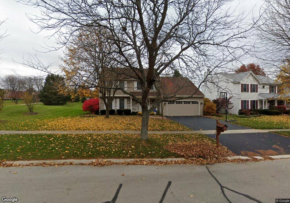
1909 Sheffield Ln Geneva, IL 60134
Northwest Central Geneva NeighborhoodEstimated Value: $498,000 - $512,808
5
Beds
3
Baths
2,327
Sq Ft
$216/Sq Ft
Est. Value
About This Home
This home is located at 1909 Sheffield Ln, Geneva, IL 60134 and is currently estimated at $501,702, approximately $215 per square foot. 1909 Sheffield Ln is a home located in Kane County with nearby schools including Williamsburg Elementary School, Geneva Community High School, and Kensington School - Geneva.
Ownership History
Date
Name
Owned For
Owner Type
Purchase Details
Closed on
Apr 26, 2001
Sold by
Pluto Jeffery A and Pluto Susan M
Bought by
Gain Matthew R and Gain Kerry L
Current Estimated Value
Home Financials for this Owner
Home Financials are based on the most recent Mortgage that was taken out on this home.
Original Mortgage
$212,000
Outstanding Balance
$78,926
Interest Rate
6.99%
Estimated Equity
$422,776
Create a Home Valuation Report for This Property
The Home Valuation Report is an in-depth analysis detailing your home's value as well as a comparison with similar homes in the area
Home Values in the Area
Average Home Value in this Area
Purchase History
| Date | Buyer | Sale Price | Title Company |
|---|---|---|---|
| Gain Matthew R | $236,500 | Chicago Title Insurance Co |
Source: Public Records
Mortgage History
| Date | Status | Borrower | Loan Amount |
|---|---|---|---|
| Open | Gain Matthew R | $212,000 |
Source: Public Records
Tax History Compared to Growth
Tax History
| Year | Tax Paid | Tax Assessment Tax Assessment Total Assessment is a certain percentage of the fair market value that is determined by local assessors to be the total taxable value of land and additions on the property. | Land | Improvement |
|---|---|---|---|---|
| 2024 | $10,068 | $139,538 | $34,159 | $105,379 |
| 2023 | $9,786 | $126,853 | $31,054 | $95,799 |
| 2022 | $9,375 | $117,871 | $28,855 | $89,016 |
| 2021 | $9,099 | $113,491 | $27,783 | $85,708 |
| 2020 | $8,991 | $111,759 | $27,359 | $84,400 |
| 2019 | $8,965 | $109,643 | $26,841 | $82,802 |
| 2018 | $8,773 | $107,576 | $26,841 | $80,735 |
| 2017 | $8,673 | $104,707 | $26,125 | $78,582 |
| 2016 | $8,523 | $101,131 | $25,772 | $75,359 |
| 2015 | -- | $96,151 | $24,503 | $71,648 |
| 2014 | -- | $96,151 | $24,503 | $71,648 |
| 2013 | -- | $96,151 | $24,503 | $71,648 |
Source: Public Records
Map
Nearby Homes
- 602 Highbury Ln
- 51 Burgess Rd
- 2749 Stone Cir
- 2753 Stone Cir
- 2747 Stone Cir
- 2751 Stone Cir
- 231 N Cambridge Dr
- 1736 Kaneville Rd
- 560 Renee Ct
- 1437 Cooper Ln
- 1211 James St
- 806 Fellows St
- 629 N Lincoln Ave
- 1336-1338 S 14th St
- 1330-1332 S 14th St
- 1108 S 12th St Unit 2
- 1823 Fargo Blvd
- 2692 Stone Cir Unit 203
- 2671 Stone Cir Unit 208
- 2731 Stone Cir
- 1899 Sheffield Ln
- 1889 Sheffield Ln
- 1910 Sheffield Ln Unit 2
- 1900 Sheffield Ln
- 1919 Sheffield Ln
- 1912 Sheffield Ln
- 1879 Sheffield Ln
- 1896 Sheffield Ln
- 1916 Sheffield Ln Unit 2
- 1886 Sheffield Ln Unit 2
- 1997 Sheffield Ln Unit 2
- 1869 Sheffield Ln Unit 2
- 1996 Sheffield Ln
- 1876 Sheffield Ln Unit 2
- 1915 Williamsburg Ave
- 1921 Williamsburg Ave
- 1866 Sheffield Ln
- 1859 Sheffield Ln
- 2000 Sheffield Ln Unit 2A
- 1861 Williamsburg Ave Unit 2