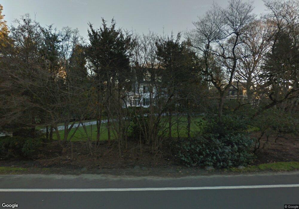
191 Riverside Ave Riverside, CT 06878
Estimated Value: $3,763,000 - $5,182,000
6
Beds
4
Baths
4,686
Sq Ft
$985/Sq Ft
Est. Value
About This Home
This home is located at 191 Riverside Ave, Riverside, CT 06878 and is currently estimated at $4,616,166, approximately $985 per square foot. 191 Riverside Ave is a home located in Fairfield County with nearby schools including Riverside School, Eastern Middle School, and Greenwich High School.
Ownership History
Date
Name
Owned For
Owner Type
Purchase Details
Closed on
Dec 1, 1999
Sold by
Morphy James C and Morphy Priscilla P
Bought by
Hanover Louis and Hanover Jeanne
Current Estimated Value
Home Financials for this Owner
Home Financials are based on the most recent Mortgage that was taken out on this home.
Original Mortgage
$1,000,000
Outstanding Balance
$311,730
Interest Rate
7.38%
Estimated Equity
$4,304,436
Create a Home Valuation Report for This Property
The Home Valuation Report is an in-depth analysis detailing your home's value as well as a comparison with similar homes in the area
Home Values in the Area
Average Home Value in this Area
Purchase History
| Date | Buyer | Sale Price | Title Company |
|---|---|---|---|
| Hanover Louis | $1,550,000 | -- |
Source: Public Records
Mortgage History
| Date | Status | Borrower | Loan Amount |
|---|---|---|---|
| Open | Hanover Louis | $1,000,000 | |
| Previous Owner | Hanover Louis | $490,000 | |
| Previous Owner | Hanover Louis | $500,000 |
Source: Public Records
Tax History
| Year | Tax Paid | Tax Assessment Tax Assessment Total Assessment is a certain percentage of the fair market value that is determined by local assessors to be the total taxable value of land and additions on the property. | Land | Improvement |
|---|---|---|---|---|
| 2025 | $30,318 | $2,453,150 | $1,607,130 | $846,020 |
| 2024 | $29,281 | $2,453,150 | $1,607,130 | $846,020 |
| 2023 | $28,545 | $2,453,150 | $1,607,130 | $846,020 |
| 2022 | $28,285 | $2,453,150 | $1,607,130 | $846,020 |
| 2021 | $28,555 | $2,371,670 | $1,223,810 | $1,147,860 |
| 2020 | $28,507 | $2,371,670 | $1,223,810 | $1,147,860 |
| 2019 | $28,600 | $2,355,850 | $1,223,810 | $1,132,040 |
| 2018 | $27,964 | $2,355,850 | $1,223,810 | $1,132,040 |
| 2017 | $28,315 | $2,355,850 | $1,223,810 | $1,132,040 |
| 2016 | $27,867 | $2,355,850 | $1,223,810 | $1,132,040 |
| 2015 | $28,210 | $2,365,650 | $1,741,880 | $623,770 |
| 2014 | $27,501 | $2,365,650 | $1,741,880 | $623,770 |
Source: Public Records
Map
Nearby Homes
- 21 Lake Dr
- 7 Indian Head Rd
- 247 Riverside Ave
- 11 Field Rd
- 10 Lockwood Rd
- 8 Willowmere Ave
- 1 Bramble Ln
- 9 River Rd Unit 418
- 14 Bradbury Place
- 32 Meyer Place
- 15 River Rd Unit 222
- 16 Summit Rd
- 7 River Rd Unit Boat Slip A-2
- 7 River Rd Unit Boat Slip D1
- 7 River Rd Unit Boat Slip E3
- 7 River Rd Unit Boat Slip H3
- 177 Indian Head Rd
- 56 Winthrop Dr
- 47 Owenoke Way
- 13 Mortimer Dr
Your Personal Tour Guide
Ask me questions while you tour the home.