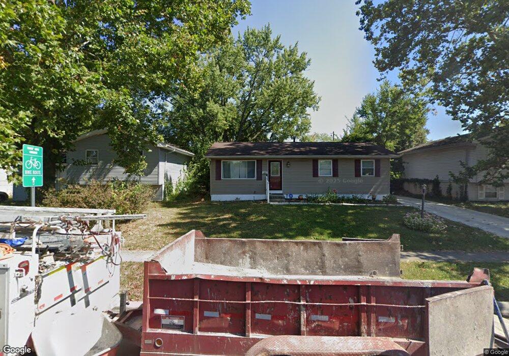
1910 Bar Harbor Rd Columbus, OH 43219
Brittany Hills NeighborhoodEstimated Value: $144,764 - $198,000
3
Beds
1
Bath
960
Sq Ft
$174/Sq Ft
Est. Value
About This Home
This home is located at 1910 Bar Harbor Rd, Columbus, OH 43219 and is currently estimated at $166,941, approximately $173 per square foot. 1910 Bar Harbor Rd is a home located in Franklin County with nearby schools including South Mifflin Stem Academy (K-6), Linden-Mckinley Stem School On Arcadia, and Cesar Chavez College Preparatory School.
Ownership History
Date
Name
Owned For
Owner Type
Purchase Details
Closed on
Jul 15, 2011
Sold by
Webb David E and Estate Of Dorothy E Webb
Bought by
Kelly Anthony T and Kelley Delores
Current Estimated Value
Home Financials for this Owner
Home Financials are based on the most recent Mortgage that was taken out on this home.
Original Mortgage
$31,024
Outstanding Balance
$21,364
Interest Rate
4.53%
Mortgage Type
New Conventional
Estimated Equity
$145,577
Purchase Details
Closed on
May 16, 1989
Bought by
Webb Dorothy E
Create a Home Valuation Report for This Property
The Home Valuation Report is an in-depth analysis detailing your home's value as well as a comparison with similar homes in the area
Home Values in the Area
Average Home Value in this Area
Purchase History
| Date | Buyer | Sale Price | Title Company |
|---|---|---|---|
| Kelly Anthony T | $38,800 | Stewart Tit | |
| Webb Dorothy E | -- | -- |
Source: Public Records
Mortgage History
| Date | Status | Borrower | Loan Amount |
|---|---|---|---|
| Open | Kelly Anthony T | $31,024 |
Source: Public Records
Tax History Compared to Growth
Tax History
| Year | Tax Paid | Tax Assessment Tax Assessment Total Assessment is a certain percentage of the fair market value that is determined by local assessors to be the total taxable value of land and additions on the property. | Land | Improvement |
|---|---|---|---|---|
| 2024 | $2,049 | $44,700 | $11,060 | $33,640 |
| 2023 | $2,023 | $44,695 | $11,060 | $33,635 |
| 2022 | $908 | $17,090 | $2,490 | $14,600 |
| 2021 | $910 | $17,090 | $2,490 | $14,600 |
| 2020 | $911 | $17,090 | $2,490 | $14,600 |
| 2019 | $856 | $13,760 | $2,000 | $11,760 |
| 2018 | $945 | $13,760 | $2,000 | $11,760 |
| 2017 | $996 | $13,760 | $2,000 | $11,760 |
| 2016 | $1,137 | $16,740 | $2,700 | $14,040 |
| 2015 | $1,035 | $16,740 | $2,700 | $14,040 |
| 2014 | $1,038 | $16,740 | $2,700 | $14,040 |
| 2013 | $569 | $18,585 | $2,975 | $15,610 |
Source: Public Records
Map
Nearby Homes
- 2398 Dunkirk Dr
- 2336 Edenburgh Dr S
- 2471 Mock Rd
- 1882 Dunning Rd
- 0 Mock Rd
- 1794 Devonshire Rd
- 1808 Brentnell Ave
- 2736 Bellero Way Unit 94
- 1860 Meadowlawn Dr Unit 75
- 1790 Marston Rd
- 0 Danby Dr
- 2483 Vendome Dr
- 1789 Marston Rd
- 2054 Jermain Dr
- 2193 Rustic Ledge Dr
- 1991 Woodland Ave
- 2424 Holt Ave
- 2228 Holt Ave
- 2363 Holt Ave
- 0 Rankin Ave Unit (Rear)
- 1904 Bar Harbor Rd
- 1920 Bar Harbor Rd
- 2479 Brocton Ct
- 1898 Bar Harbor Rd
- 1926 Bar Harbor Rd
- 2480 Brocton Ct
- 2483 Brocton Ct
- 1932 Bar Harbor Rd
- 2454 Peekskill Dr
- 2468 Peekskill Dr
- 1917 Bar Harbor Rd
- 1911 Bar Harbor Rd
- 1923 Bar Harbor Rd
- 1903 Bar Harbor Rd
- 2474 Peekskill Dr
- 1931 Bar Harbor Rd
- 1938 Bar Harbor Rd
- 2484 Brocton Ct
- 1895 Bar Harbor Rd
- 1937 Bar Harbor Rd