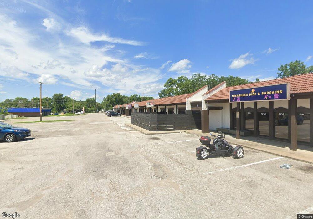
1910 Haskell Ave Lawrence, KS 66046
Studio
--
Bath
20,376
Sq Ft
5.1
Acres
About This Home
This home is located at 1910 Haskell Ave, Lawrence, KS 66046. 1910 Haskell Ave is a home located in Douglas County with nearby schools including Kennedy Elementary School, Liberty Memorial Central Middle School, and Lawrence High School.
Ownership History
Date
Name
Owned For
Owner Type
Purchase Details
Closed on
Oct 25, 2007
Sold by
Chaney John R and Chaney Laura A
Bought by
Pacs Properties Llc
Home Financials for this Owner
Home Financials are based on the most recent Mortgage that was taken out on this home.
Original Mortgage
$1,200,000
Outstanding Balance
$753,440
Interest Rate
6.32%
Mortgage Type
Commercial
Create a Home Valuation Report for This Property
The Home Valuation Report is an in-depth analysis detailing your home's value as well as a comparison with similar homes in the area
Purchase History
| Date | Buyer | Sale Price | Title Company |
|---|---|---|---|
| Pacs Properties Llc | -- | Oread Land Title |
Source: Public Records
Mortgage History
| Date | Status | Borrower | Loan Amount |
|---|---|---|---|
| Open | Pacs Properties Llc | $1,200,000 |
Source: Public Records
Tax History
| Year | Tax Paid | Tax Assessment Tax Assessment Total Assessment is a certain percentage of the fair market value that is determined by local assessors to be the total taxable value of land and additions on the property. | Land | Improvement |
|---|---|---|---|---|
| 2025 | $28,054 | $215,153 | $204,585 | $10,568 |
| 2024 | $26,290 | $204,908 | $199,420 | $5,488 |
| 2023 | $46,002 | $350,826 | $189,858 | $160,968 |
| 2022 | $21,550 | $163,260 | $163,260 | $0 |
| 2021 | $20,901 | $154,763 | $154,763 | $0 |
| 2020 | $21,937 | $163,260 | $163,260 | $0 |
| 2019 | $21,886 | $163,045 | $163,045 | $0 |
| 2018 | $22,047 | $163,045 | $163,045 | $0 |
| 2017 | $27,090 | $198,100 | $188,045 | $10,055 |
| 2016 | $20,011 | $174,401 | $110,428 | $63,973 |
| 2015 | -- | $174,401 | $110,428 | $63,973 |
| 2014 | -- | $236,651 | $110,428 | $126,223 |
Source: Public Records
Map
Nearby Homes
- 1736 Brook St
- 2014 Maple Ln
- 5629 Johnson Ave
- 5701 Johnson Ave
- 5804 Johnson Ave
- 5625 Johnson Ave
- 1628 E 18th Terrace
- 1625 Pennsylvania St
- 1603 Harper St
- 2106 Rhode Island St
- 2200 Harper St Unit C24
- 2115 Massachusetts St
- 2208 Massachusetts St
- 1327 New Jersey St
- 2046 Kentucky St
- 2301 Massachusetts St
- 2625 Rawhide Ln
- 1820 Hampton St
- 1741 Tennessee St Unit 1-4
- 2703 Bonanza St
- 1872 Haskell Ave
- 1928 Almira Ave
- 2011 Miller Dr
- 1844 Almira St
- 1844 Almira Ave
- 1943 Miller Dr
- 1939 Miller Dr
- 1947 Miller Dr
- 2007 Miller Dr
- 1935 Miller Dr
- 1951 Miller Dr
- 2015 Miller Dr
- 1955 Miller Dr
- 2003 Miller Dr
- 1002 E 19th St
- 1828 Almira Ave
- 1839 Almira St
- 149 Pinecone Dr
- 1828 Almira St
- 1931 Miller Dr
