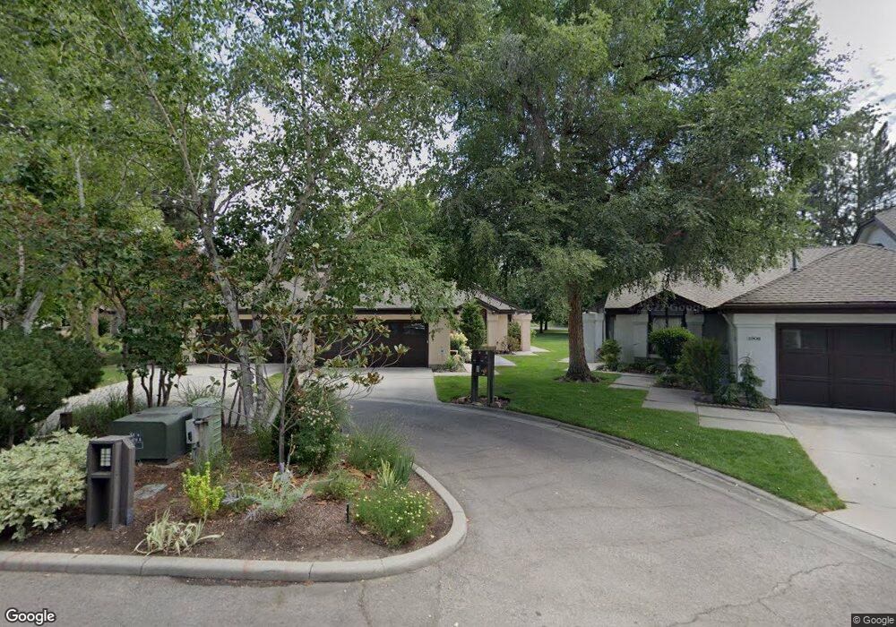
1910 S Springbrook Ln Boise, ID 83706
Southeast Boise NeighborhoodEstimated Value: $575,000 - $727,000
2
Beds
2
Baths
1,433
Sq Ft
$458/Sq Ft
Est. Value
About This Home
This home is located at 1910 S Springbrook Ln, Boise, ID 83706 and is currently estimated at $656,911, approximately $458 per square foot. 1910 S Springbrook Ln is a home located in Ada County with nearby schools including Riverside Elementary School, East Junior High School, and Timberline High School.
Ownership History
Date
Name
Owned For
Owner Type
Purchase Details
Closed on
Jan 4, 2019
Sold by
Ramsey Sharon J and Sjaastad Sharon J
Bought by
Silsby Christopher
Current Estimated Value
Home Financials for this Owner
Home Financials are based on the most recent Mortgage that was taken out on this home.
Original Mortgage
$315,000
Outstanding Balance
$278,062
Interest Rate
4.8%
Mortgage Type
New Conventional
Estimated Equity
$378,849
Purchase Details
Closed on
Jan 15, 2009
Sold by
Backer Huff Marjorie
Bought by
Savage Edwin M
Home Financials for this Owner
Home Financials are based on the most recent Mortgage that was taken out on this home.
Original Mortgage
$510,000
Interest Rate
2.18%
Mortgage Type
Reverse Mortgage Home Equity Conversion Mortgage
Create a Home Valuation Report for This Property
The Home Valuation Report is an in-depth analysis detailing your home's value as well as a comparison with similar homes in the area
Home Values in the Area
Average Home Value in this Area
Purchase History
| Date | Buyer | Sale Price | Title Company |
|---|---|---|---|
| Silsby Christopher | -- | Titleone Boise | |
| Savage Edwin M | -- | Title One |
Source: Public Records
Mortgage History
| Date | Status | Borrower | Loan Amount |
|---|---|---|---|
| Open | Silsby Christopher | $315,000 | |
| Previous Owner | Savage Edwin M | $510,000 |
Source: Public Records
Tax History
| Year | Tax Paid | Tax Assessment Tax Assessment Total Assessment is a certain percentage of the fair market value that is determined by local assessors to be the total taxable value of land and additions on the property. | Land | Improvement |
|---|---|---|---|---|
| 2025 | $5,328 | $614,600 | -- | -- |
| 2024 | $5,222 | $586,100 | -- | -- |
| 2023 | $5,280 | $551,900 | $0 | $0 |
| 2022 | $5,749 | $661,900 | $0 | $0 |
| 2021 | $5,562 | $508,000 | $0 | $0 |
| 2020 | $4,994 | $420,100 | $0 | $0 |
| 2019 | $4,458 | $428,100 | $0 | $0 |
| 2018 | $4,069 | $367,600 | $0 | $0 |
| 2017 | $3,695 | $330,800 | $0 | $0 |
| 2016 | $3,766 | $324,300 | $0 | $0 |
| 2015 | $4,068 | $316,200 | $0 | $0 |
| 2012 | -- | $288,000 | $0 | $0 |
Source: Public Records
Map
Nearby Homes
- 1945 S Creekside Ln
- 809 E Pennsylvania Dr
- 2576 E Warm Springs Ave
- 1525 S Boulder View Ln
- 812 E Riverpark Ln
- 2673 E Mesa Verde Ct
- 2209 S Amy Ave
- 1038 E Fleetwood Ct
- 2205 S Dorothy Ave
- 2201/2205 S Dorothy Ave
- 2201 S Dorothy Ave
- 2130 S Myers Place
- 2231 S Dorothy Ave
- 2595 S Greenwood Cir
- 690 S Granite Way
- 2044 S Mackinnon Ln
- 118 E Pennsylvania St
- 2013 S Makar
- 114 E Pennsylvania St
- 2043 S Makar Ln
- 1912 S Springbrook Ln
- 1906 S Springbrook Ln
- 1916 S Springbrook Ln
- 1904 S Springbrook Ln
- 1996 S Springbrook Ln
- 1994 S Springbrook Ln
- 1918 S Springbrook Ln
- 1992 S Springbrook Ln
- 1909 S Springbrook Ln
- 1911 S Springbrook Ln
- 1920 S Springbrook Ln
- 1907 S Springbrook Ln
- 1903 S Springbrook Ln
- 1901 S Springbrook Ln
- 1990 S Springbrook Ln
- 1915 S Springbrook Ln
- 1926 S Springbrook Ln
- 2010 S Springbrook Ln
- 2098 S Springbrook Ln
- 1987 S Springbrook Ln
Your Personal Tour Guide
Ask me questions while you tour the home.