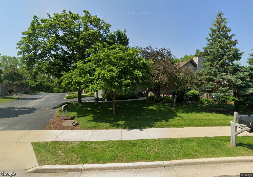
1910 Springbrook N Unit D Waukesha, WI 53186
Estimated Value: $350,000 - $431,000
2
Beds
2
Baths
1,543
Sq Ft
$248/Sq Ft
Est. Value
About This Home
This home is located at 1910 Springbrook N Unit D, Waukesha, WI 53186 and is currently estimated at $383,079, approximately $248 per square foot. 1910 Springbrook N Unit D is a home located in Waukesha County with nearby schools including Hillcrest Elementary School, Horning Middle School, and South High School.
Ownership History
Date
Name
Owned For
Owner Type
Purchase Details
Closed on
Sep 29, 2022
Sold by
Black Peggy A
Bought by
Peggy A Black Trust
Current Estimated Value
Purchase Details
Closed on
Aug 1, 2022
Sold by
Judith Neff Living Trust
Bought by
Black Peggy A
Purchase Details
Closed on
Dec 7, 2020
Sold by
Neff Judith O
Bought by
Neff Judith O and Judith Neff Living Trust
Purchase Details
Closed on
Mar 25, 2019
Sold by
Slane Patricia M and Powers Ronald A
Bought by
Neff Judith O and Neff Joy E
Purchase Details
Closed on
Apr 19, 2002
Sold by
Salter Marian G
Bought by
Marian G Salter Revocable Trust Agreemen
Create a Home Valuation Report for This Property
The Home Valuation Report is an in-depth analysis detailing your home's value as well as a comparison with similar homes in the area
Home Values in the Area
Average Home Value in this Area
Purchase History
| Date | Buyer | Sale Price | Title Company |
|---|---|---|---|
| Peggy A Black Trust | -- | -- | |
| Black Peggy A | $330,000 | None Listed On Document | |
| Neff Judith O | -- | None Listed On Document | |
| Neff Judith O | -- | None Available | |
| Neff Judith O | $249,000 | None Available | |
| Marian G Salter Revocable Trust Agreemen | -- | -- |
Source: Public Records
Tax History Compared to Growth
Tax History
| Year | Tax Paid | Tax Assessment Tax Assessment Total Assessment is a certain percentage of the fair market value that is determined by local assessors to be the total taxable value of land and additions on the property. | Land | Improvement |
|---|---|---|---|---|
| 2024 | $4,411 | $298,300 | $62,500 | $235,800 |
| 2023 | $4,285 | $298,300 | $62,500 | $235,800 |
| 2022 | $4,492 | $234,300 | $47,400 | $186,900 |
| 2021 | $4,597 | $234,300 | $47,400 | $186,900 |
| 2020 | $4,443 | $234,300 | $47,400 | $186,900 |
| 2019 | $4,304 | $234,300 | $47,400 | $186,900 |
| 2018 | $3,807 | $203,700 | $47,400 | $156,300 |
| 2017 | $4,260 | $203,700 | $47,400 | $156,300 |
| 2016 | $3,675 | $185,200 | $47,400 | $137,800 |
| 2015 | $3,655 | $185,200 | $47,400 | $137,800 |
| 2014 | $3,805 | $185,200 | $47,400 | $137,800 |
| 2013 | $3,805 | $185,200 | $47,400 | $137,800 |
Source: Public Records
Map
Nearby Homes
- 1929 Springbrook N Unit C
- 2029 Wildberry Ct
- 310 Sheffield Rd Unit 2
- 1535 E Racine Ave
- 2117 E Broadway Unit B
- 1422 E Racine Ave
- S24W23052 Morningside Dr
- W230S2425 Morningside Dr
- 1305 Camden Way Unit D
- 1614 Legend Hill Ln
- 1037 Windsor Dr
- 621 S Greenfield Ave
- 1908 Deer Path
- 231 S Greenfield Ave
- 724 Lynne Dr
- LT1 Sunset View
- 735 E Wabash Ave
- 1981 Foxcroft Ln
- 1616 Hunter Rd
- 403 Midland Ave
- 1910 Springbrook N Unit D
- 1910 Springbrook N Unit B
- 1910 Springbrook N Unit A
- 1910 Springbrook N Unit 1910
- 1900 Springbrook N Unit C
- 1900 Springbrook N Unit D
- 1900 Springbrook N Unit B
- 1900 Springbrook N Unit A
- 1920 Springbrook N Unit D
- 1920 Springbrook N Unit C
- 1920 Springbrook N Unit B
- 1920 Springbrook N Unit A
- 1922 Springbrook N Unit B
- 1922 Springbrook N Unit A
- 1922 Springbrook N Unit C
- 1922 Springbrook N Unit D
- 1922 Springbrook N
- 1922 Springbrook N Unit 1922
- 1821 E Racine Ave Unit 1
- 1821 E Racine Ave Unit 3