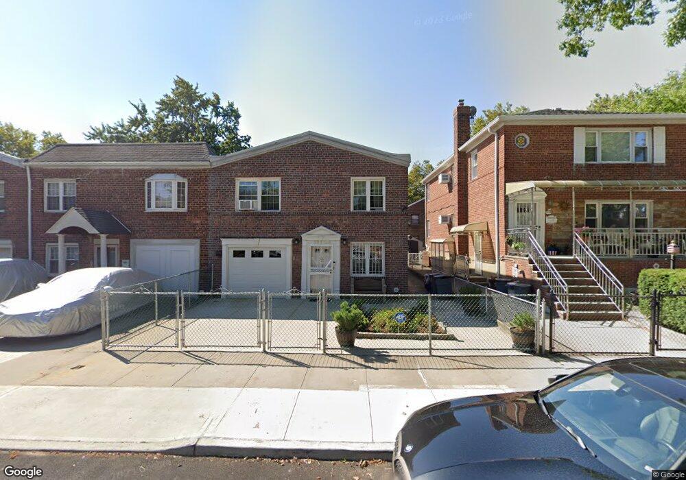
19106 37th Ave Flushing, NY 11358
Auburndale NeighborhoodEstimated Value: $1,053,000 - $1,291,000
Studio
--
Bath
1,800
Sq Ft
$652/Sq Ft
Est. Value
About This Home
This home is located at 19106 37th Ave, Flushing, NY 11358 and is currently estimated at $1,172,754, approximately $651 per square foot. 19106 37th Ave is a home located in Queens County with nearby schools including P.S. 32 - State Street, I.S. 25 Adrien Block, and Francis Lewis High School.
Ownership History
Date
Name
Owned For
Owner Type
Purchase Details
Closed on
Jan 10, 2000
Sold by
Kavallaris Andy
Bought by
Kostopoulos Nicholas and Kostopoulos Coritsidis
Current Estimated Value
Home Financials for this Owner
Home Financials are based on the most recent Mortgage that was taken out on this home.
Original Mortgage
$216,000
Outstanding Balance
$69,351
Interest Rate
7.98%
Estimated Equity
$1,103,403
Create a Home Valuation Report for This Property
The Home Valuation Report is an in-depth analysis detailing your home's value as well as a comparison with similar homes in the area
Home Values in the Area
Average Home Value in this Area
Purchase History
| Date | Buyer | Sale Price | Title Company |
|---|---|---|---|
| Kostopoulos Nicholas | $260,000 | -- |
Source: Public Records
Mortgage History
| Date | Status | Borrower | Loan Amount |
|---|---|---|---|
| Open | Kostopoulos Nicholas | $216,000 |
Source: Public Records
Tax History
| Year | Tax Paid | Tax Assessment Tax Assessment Total Assessment is a certain percentage of the fair market value that is determined by local assessors to be the total taxable value of land and additions on the property. | Land | Improvement |
|---|---|---|---|---|
| 2025 | $9,116 | $48,108 | $14,149 | $33,959 |
| 2024 | $9,116 | $45,385 | $14,923 | $30,462 |
| 2023 | $9,116 | $45,385 | $12,680 | $32,705 |
| 2022 | $6,744 | $64,620 | $17,400 | $47,220 |
| 2021 | $8,943 | $57,960 | $17,400 | $40,560 |
| 2020 | $8,486 | $61,020 | $17,400 | $43,620 |
| 2019 | $7,912 | $65,400 | $17,400 | $48,000 |
| 2018 | $7,412 | $37,821 | $10,957 | $26,864 |
| 2017 | $7,352 | $37,536 | $13,147 | $24,389 |
| 2016 | $6,769 | $37,536 | $13,147 | $24,389 |
| 2015 | $4,051 | $33,408 | $13,600 | $19,808 |
| 2014 | $4,051 | $31,518 | $14,214 | $17,304 |
Source: Public Records
Map
Nearby Homes
- 191-02 39th Ave
- 191-9 39th Ave Unit 164
- 190-05 39th Ave Unit 140
- 190-05 39th Ave Unit 142
- 191-08 Station Rd
- 19112 Station Rd
- 189-23 39th Ave Unit 122
- 192-14 Station Rd
- 36-20 190th St
- 190-17 42nd Ave
- 4038 194th St Unit 3B
- 40-38 194th St Unit A-1
- 36-20 194th St Unit 3r
- 194-23 Station Rd
- 3617 194th St
- 4048 194th St Unit A3
- 4032 195th St
- 36-35 171st St Unit 30
- 3639 171st St Unit 26
- 42-25 189th St
- 19108 37th Ave
- 19104 37th Ave
- 191-10 37th Ave Unit 2 Fl
- 191-10 37th Ave Unit Relaxedsetting
- 191-10 37th Ave
- 19110 37th Ave
- 19110 37th Ave
- 191-06 37th Ave
- 19112 37th Ave
- 3715 191st St Unit 155
- 3715 191st St
- 3715 191st St Unit 156
- 3715 191st St Unit 155
- 3751 191st St
- 3751 191st St Unit 158
- 3751 191st St Unit 168
- 3751 191st St Unit 157
- 3751 191st St Unit 156
- 3751 191st St Unit 154
- 3751 191st St Unit 161
Your Personal Tour Guide
Ask me questions while you tour the home.