1912 Benson Rd Cookeville, TN 38506
Estimated Value: $313,025 - $548,000
--
Bed
2
Baths
1,980
Sq Ft
$219/Sq Ft
Est. Value
About This Home
This home is located at 1912 Benson Rd, Cookeville, TN 38506 and is currently estimated at $434,006, approximately $219 per square foot. 1912 Benson Rd is a home located in Putnam County with nearby schools including Algood Middle School, Algood Elementary School, and Cookeville High School.
Ownership History
Date
Name
Owned For
Owner Type
Purchase Details
Closed on
Dec 9, 2014
Sold by
Williams Donnie
Bought by
Williams Stacy
Current Estimated Value
Purchase Details
Closed on
Dec 8, 2014
Sold by
Williams Donnie
Bought by
Williams Stacy
Purchase Details
Closed on
Sep 7, 1999
Sold by
Ellis Gerald L
Bought by
Donnie Williams and Donnie Loretta
Purchase Details
Closed on
Dec 3, 1990
Bought by
Ellis Gerald L and Ellis Sandra
Purchase Details
Closed on
May 1, 1989
Bought by
Vaughn Truman and Vaughn Della
Purchase Details
Closed on
Mar 8, 1989
Bought by
Pullum Ernie D and Pullum Bonnie J
Create a Home Valuation Report for This Property
The Home Valuation Report is an in-depth analysis detailing your home's value as well as a comparison with similar homes in the area
Home Values in the Area
Average Home Value in this Area
Purchase History
| Date | Buyer | Sale Price | Title Company |
|---|---|---|---|
| Williams Stacy | -- | -- | |
| Williams Stacy | -- | -- | |
| Donnie Williams | $125,000 | -- | |
| Ellis Gerald L | $10,000 | -- | |
| Vaughn Truman | $7,000 | -- | |
| Pullum Ernie D | $4,700 | -- |
Source: Public Records
Tax History Compared to Growth
Tax History
| Year | Tax Paid | Tax Assessment Tax Assessment Total Assessment is a certain percentage of the fair market value that is determined by local assessors to be the total taxable value of land and additions on the property. | Land | Improvement |
|---|---|---|---|---|
| 2024 | $1,426 | $53,600 | $8,225 | $45,375 |
| 2023 | $1,426 | $53,600 | $8,225 | $45,375 |
| 2022 | $1,325 | $53,600 | $8,225 | $45,375 |
| 2021 | $1,325 | $53,600 | $8,225 | $45,375 |
| 2020 | $1,115 | $53,600 | $8,225 | $45,375 |
| 2019 | $1,115 | $38,100 | $8,225 | $29,875 |
| 2018 | $1,040 | $38,100 | $8,225 | $29,875 |
| 2017 | $1,040 | $38,100 | $8,225 | $29,875 |
| 2016 | $1,040 | $38,100 | $8,225 | $29,875 |
| 2015 | $1,069 | $38,100 | $8,225 | $29,875 |
| 2014 | $1,091 | $38,889 | $0 | $0 |
Source: Public Records
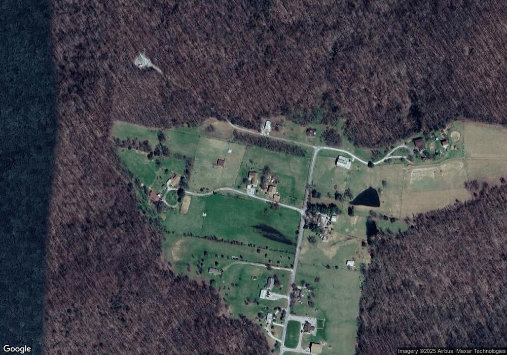
Map
Nearby Homes
- 900 Brotherton Dr
- 0 Overlook Cir
- 21.40 AC Overlook Cir
- 1080 Brotherton Dr
- 34 Brotherton Dr
- 034 Brotherton Dr
- 3930 Olyvia Ct
- 510 Green Springs Rd
- 4618 Plantation Ln
- 4626 Plantation Ln
- 3485 Officers Chapel Rd
- Lot 183 Plantation View
- Lot 183B Plantation View
- 0 Plantation View
- 820 Country Wood Ct
- 30 AC W Paron Rd
- 469 E Main St
- 245 Crooked Creek Dr
- 430 Auguste Cir
- 4201 Mirandy Rd
- 1901 Benson Rd
- 1788 Benson Rd
- 1760 Benson Rd
- 1727 Benson Rd
- 1957 Benson Rd
- 1675 Benson Rd
- 1643 Benson Rd
- 1604 Benson Rd
- 1555 Benson Rd
- 1510 Benson Rd
- 5955 Spring Creek Rd
- 5833 Old Highway 42
- 25.36 AC Pigeon Roost Creek
- 1382 Benson Rd
- 5775 Spring Creek Rd
- 1275 Benson Rd
- 6141 Spring Creek Rd
- 6030 Spring Creek Rd
- 5633 Spring Creek Rd
- 2170 Green Mountain Rd