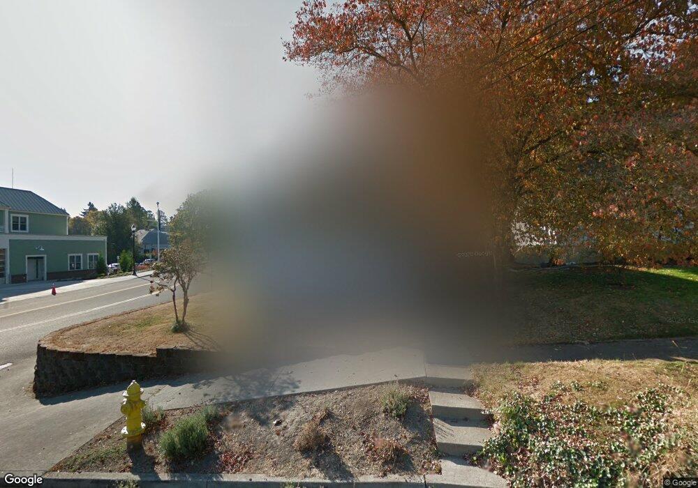
1912 Buck St West Linn, OR 97068
Bolton NeighborhoodEstimated Value: $413,000 - $502,000
2
Beds
1
Bath
1,348
Sq Ft
$340/Sq Ft
Est. Value
About This Home
This home is located at 1912 Buck St, West Linn, OR 97068 and is currently estimated at $458,719, approximately $340 per square foot. 1912 Buck St is a home located in Clackamas County with nearby schools including Bolton Primary School, West Linn High School, and Clackamas Academy of Industrial Sciences (CAIS).
Ownership History
Date
Name
Owned For
Owner Type
Purchase Details
Closed on
Nov 16, 2022
Sold by
Sutton Michael S
Bought by
Caro Maria Christin Inz
Current Estimated Value
Purchase Details
Closed on
Apr 1, 2009
Sold by
Lichtenstein Sheri Ann
Bought by
Sutton Peter Antony
Purchase Details
Closed on
Jun 16, 2004
Sold by
Kemnitz Steven J and Kemnitz Nancy M
Bought by
Lichtenstein Sheri and Sutton Peter A
Home Financials for this Owner
Home Financials are based on the most recent Mortgage that was taken out on this home.
Original Mortgage
$135,400
Interest Rate
6.29%
Mortgage Type
Purchase Money Mortgage
Create a Home Valuation Report for This Property
The Home Valuation Report is an in-depth analysis detailing your home's value as well as a comparison with similar homes in the area
Home Values in the Area
Average Home Value in this Area
Purchase History
| Date | Buyer | Sale Price | Title Company |
|---|---|---|---|
| Caro Maria Christin Inz | -- | -- | |
| Sutton Peter Antony | -- | None Available | |
| Lichtenstein Sheri | $169,250 | Fidelity Natl Title Co Of Or |
Source: Public Records
Mortgage History
| Date | Status | Borrower | Loan Amount |
|---|---|---|---|
| Previous Owner | Lichtenstein Sheri | $135,400 | |
| Closed | Lichtenstein Sheri | $28,850 |
Source: Public Records
Tax History Compared to Growth
Tax History
| Year | Tax Paid | Tax Assessment Tax Assessment Total Assessment is a certain percentage of the fair market value that is determined by local assessors to be the total taxable value of land and additions on the property. | Land | Improvement |
|---|---|---|---|---|
| 2025 | $3,002 | $155,766 | -- | -- |
| 2024 | $2,890 | $151,230 | -- | -- |
| 2023 | $2,890 | $146,826 | $0 | $0 |
| 2022 | $2,727 | $142,550 | $0 | $0 |
| 2021 | $2,589 | $138,399 | $0 | $0 |
| 2020 | $2,607 | $134,368 | $0 | $0 |
| 2019 | $2,486 | $130,455 | $0 | $0 |
| 2018 | $2,375 | $126,655 | $0 | $0 |
| 2017 | $2,283 | $122,966 | $0 | $0 |
| 2016 | $2,224 | $119,384 | $0 | $0 |
| 2015 | $2,160 | $115,907 | $0 | $0 |
| 2014 | $2,080 | $112,531 | $0 | $0 |
Source: Public Records
Map
Nearby Homes
- 1954 Buck St
- 6345 Caufield St
- 6403 Tompkins Ct
- 5910 W A St
- 5128 Firwood Dr
- 20930 Fawn Ct Unit 26
- 5219 Summit St
- 2488 Tulane St
- 5062 Prospect St
- 4973 Summit St
- 2700 Underhill Ln Unit 1
- 4050 Serango Ct
- 2764 Ridge Ln
- 5687 River St
- 5146 Gregory Ct
- 1470 Rosemont Rd
- 22691 Oregon City Loop
- 4794 Coho Ln
- 19697 SE Cottonwood St
- 4020 Ridge Ln
- 1942 Buck St
- 6148 Elliott St
- 21420 Willamette Dr
- 6122 Davenport St
- 6154 Davenport St
- 6050 Failing St
- 1941 Buck St
- 1850 Buck St
- 1895 Buck St
- 1993 Buck St
- 1847 Buck St
- 21310 Willamette Dr
- 6288 Elliott St
- 6204 Failing St
- 6275 Davenport St
- 6255 Elliott St
- 6128 W A St
- 6210 Failing St
- 6242 Davenport St
- 6105 W A St Unit B