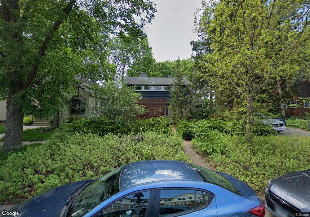
1912 Norfolk Ave Saint Paul, MN 55116
Highland Park NeighborhoodEstimated Value: $719,000 - $795,000
2
Beds
3
Baths
2,099
Sq Ft
$362/Sq Ft
Est. Value
About This Home
This home is located at 1912 Norfolk Ave, Saint Paul, MN 55116 and is currently estimated at $759,859, approximately $362 per square foot. 1912 Norfolk Ave is a home located in Ramsey County with nearby schools including Horace Mann School, Highland Park Middle School, and Highland Park Senior High.
Ownership History
Date
Name
Owned For
Owner Type
Purchase Details
Closed on
Jul 21, 2022
Sold by
Seatter Susan C and Seatter Ann L
Bought by
Ann L Lundquist Trust
Current Estimated Value
Purchase Details
Closed on
Nov 8, 2016
Sold by
Legere Christin S and Muson Kelly N
Bought by
Seatter Susan C and Lundgust Ann L
Home Financials for this Owner
Home Financials are based on the most recent Mortgage that was taken out on this home.
Original Mortgage
$392,000
Interest Rate
3.52%
Mortgage Type
New Conventional
Purchase Details
Closed on
Mar 14, 2015
Sold by
Legere Christian S and Munson Kelly N
Bought by
Legere Christian S and Munson Kelly N
Purchase Details
Closed on
Feb 20, 2015
Sold by
Purkayastha Manjari D
Bought by
Legere Christian S and Munson Kelly N
Purchase Details
Closed on
Apr 27, 2001
Sold by
Shore Harold Irwin and Palomo Lailene L
Bought by
Hamilton Joseph M
Create a Home Valuation Report for This Property
The Home Valuation Report is an in-depth analysis detailing your home's value as well as a comparison with similar homes in the area
Home Values in the Area
Average Home Value in this Area
Purchase History
| Date | Buyer | Sale Price | Title Company |
|---|---|---|---|
| Ann L Lundquist Trust | $500 | None Listed On Document | |
| Seatter Susan C | $490,000 | Titlesmart Inc | |
| Legere Christian S | $515 | Burnet Title | |
| Legere Christian S | $498,666 | Burnet Title | |
| Hamilton Joseph M | $245,000 | -- |
Source: Public Records
Mortgage History
| Date | Status | Borrower | Loan Amount |
|---|---|---|---|
| Previous Owner | Seatter Susan C | $392,000 |
Source: Public Records
Tax History Compared to Growth
Tax History
| Year | Tax Paid | Tax Assessment Tax Assessment Total Assessment is a certain percentage of the fair market value that is determined by local assessors to be the total taxable value of land and additions on the property. | Land | Improvement |
|---|---|---|---|---|
| 2025 | $10,664 | $749,300 | $86,400 | $662,900 |
| 2023 | $10,664 | $661,200 | $86,400 | $574,800 |
| 2022 | $9,378 | $609,600 | $86,400 | $523,200 |
| 2021 | $9,402 | $566,900 | $86,400 | $480,500 |
| 2020 | $8,996 | $586,100 | $86,400 | $499,700 |
| 2019 | $9,032 | $530,200 | $86,400 | $443,800 |
| 2018 | $8,010 | $526,600 | $86,400 | $440,200 |
| 2017 | $7,934 | $479,600 | $86,400 | $393,200 |
| 2016 | $7,354 | $0 | $0 | $0 |
| 2015 | $7,222 | $443,600 | $70,200 | $373,400 |
| 2014 | $7,486 | $0 | $0 | $0 |
Source: Public Records
Map
Nearby Homes
- 1920 Norfolk Ave
- 1872 Mississippi River Blvd S
- 1800 Graham Ave Unit 334
- 1800 Graham Ave Unit 126
- 1331 Murray St
- 1913 Morgan Ave
- 1544 Mississippi River Blvd S
- 1775 Morgan Ave
- 1166 Colette Place
- 2051 Itasca Ave
- 1075 Saint Paul Ave
- 1068 Prior Ave S
- 2135 Lower Saint Dennis Rd
- 1022 Fairview Ave S
- 1065 Colby St
- 896 Mississippi River Blvd S
- 878 Mississippi River Blvd S
- 2310 Benson Ave Unit H
- 2046 Montreal Ave
- 2265 Youngman Ave Unit 207E
- 1908 Norfolk Ave
- 1904 Norfolk Ave
- 1926 Norfolk Ave
- 1896 Norfolk Ave
- 1876 Mississippi River Blvd S
- 1866 Mississippi River Blvd S
- 1860 Mississippi River Blvd S
- 1925 Norfolk Ave
- 1886 Mississippi River Blvd S
- 1884/1886 Mississippi River Blvd S
- 1891 Norfolk Ave
- 1910 Graham Ave
- 1910 Graham Ave Unit 206
- 1910 Graham Ave Unit 102
- 1883 Norfolk Ave
- 1413 Sue St
- 1877 Norfolk Ave
- 1960 Norfolk Ave
- 1407 Prior Ave S
- 1388 Prior Ave S