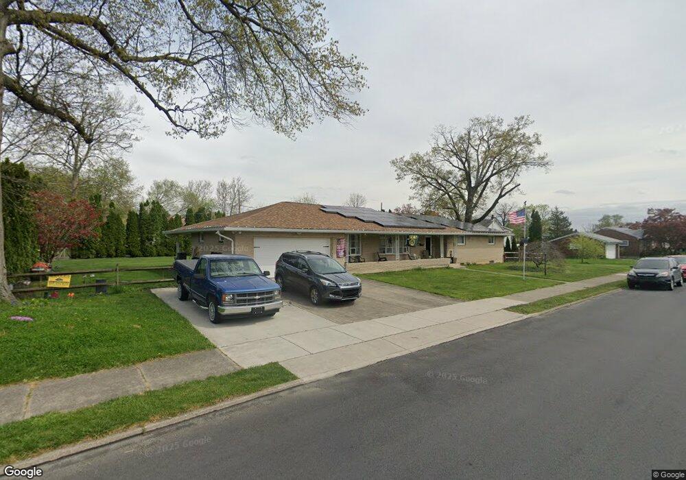
1913 E Cedar St Unit 1927 Allentown, PA 18109
Rittersville NeighborhoodEstimated Value: $384,454 - $451,000
3
Beds
2
Baths
2,353
Sq Ft
$178/Sq Ft
Est. Value
About This Home
This home is located at 1913 E Cedar St Unit 1927, Allentown, PA 18109 and is currently estimated at $418,614, approximately $177 per square foot. 1913 E Cedar St Unit 1927 is a home located in Lehigh County with nearby schools including Ritter Elementary School, Harrison-Morton Middle School, and Louis E. Dieruff High School.
Ownership History
Date
Name
Owned For
Owner Type
Purchase Details
Closed on
Jul 12, 2013
Sold by
Beck Scott E
Bought by
Marcks Richard E
Current Estimated Value
Home Financials for this Owner
Home Financials are based on the most recent Mortgage that was taken out on this home.
Original Mortgage
$125,000
Outstanding Balance
$91,085
Interest Rate
3.97%
Mortgage Type
VA
Estimated Equity
$327,529
Purchase Details
Closed on
Jun 12, 1974
Bought by
Beck Marlin and Beck Miriam
Create a Home Valuation Report for This Property
The Home Valuation Report is an in-depth analysis detailing your home's value as well as a comparison with similar homes in the area
Home Values in the Area
Average Home Value in this Area
Purchase History
| Date | Buyer | Sale Price | Title Company |
|---|---|---|---|
| Marcks Richard E | $195,000 | -- | |
| Beck Marlin | -- | -- |
Source: Public Records
Mortgage History
| Date | Status | Borrower | Loan Amount |
|---|---|---|---|
| Open | Marcks Richard E | $125,000 |
Source: Public Records
Tax History Compared to Growth
Tax History
| Year | Tax Paid | Tax Assessment Tax Assessment Total Assessment is a certain percentage of the fair market value that is determined by local assessors to be the total taxable value of land and additions on the property. | Land | Improvement |
|---|---|---|---|---|
| 2025 | -- | $242,900 | $43,200 | $199,700 |
| 2024 | -- | $242,900 | $43,200 | $199,700 |
| 2023 | $11,622 | $242,900 | $43,200 | $199,700 |
| 2022 | $11,622 | $242,900 | $199,700 | $43,200 |
| 2021 | -- | $242,900 | $43,200 | $199,700 |
| 2020 | $111 | $242,900 | $43,200 | $199,700 |
| 2019 | $111 | $242,900 | $43,200 | $199,700 |
| 2018 | $107 | $238,900 | $43,200 | $195,700 |
| 2017 | -- | $238,900 | $43,200 | $195,700 |
| 2016 | -- | $238,900 | $43,200 | $195,700 |
| 2015 | -- | $238,900 | $43,200 | $195,700 |
| 2014 | -- | $238,900 | $43,200 | $195,700 |
Source: Public Records
Map
Nearby Homes
- 816 Shell St
- 2030 Hanover Ave Unit 2032
- 1623 E Dent St
- 805 N Oswego St
- 1103 N Van Buren St
- 1920 E Woodlawn St
- 1310 E Highland St
- 1257 Troxell St
- 812 N Lacrosse St
- 1404 E Pennsylvania St
- 1146 E Livingston St
- 2309 E Woodlawn St Unit 2307
- 923 N Kearney St
- 2035 W Broad St
- 1198 Pennsylvania Ave
- 619 N Jasper St
- 301 333 Union Blvd
- 643 N Irving St
- 922 Beverly Ave
- 744 E Green St
- 1925 E Cedar St
- 848 Tacoma St Unit 852
- 1918 E Greenleaf St Unit 1920
- 854 Tacoma St
- 849 Sherman St Unit 853
- 1905 E Cedar St
- 1922 E Greenleaf St Unit 1924
- 1924 E Cedar St
- 1920 E Greenleaf St
- 1922 E Cedar St Unit 1926
- 1914 E Cedar St Unit 1920
- 1912 E Greenleaf St Unit 1916
- 855 N Sherman St
- 855 N Sherman St Unit 2
- 855 Sherman St
- 1924 E Greenleaf St
- 1926 E Greenleaf St Unit 1928
- 843 Sherman St
- 857 Sherman St
- 840 Tacoma St