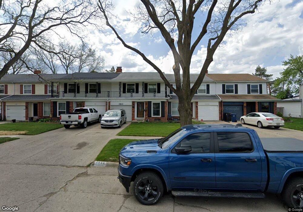
1913 Laurel Oak Dr Flint, MI 48507
Westgate NeighborhoodEstimated Value: $107,000 - $119,000
3
Beds
2
Baths
1,893
Sq Ft
$60/Sq Ft
Est. Value
About This Home
This home is located at 1913 Laurel Oak Dr, Flint, MI 48507 and is currently estimated at $113,073, approximately $59 per square foot. 1913 Laurel Oak Dr is a home located in Genesee County with nearby schools including Neithercut Elementary School, Flint Southwestern Classical Academy, and International Academy of Flint (K-12).
Ownership History
Date
Name
Owned For
Owner Type
Purchase Details
Closed on
Feb 16, 2007
Sold by
Gallagher Robert M and Gallagher Karen E
Bought by
Catron Jacqueline L
Current Estimated Value
Create a Home Valuation Report for This Property
The Home Valuation Report is an in-depth analysis detailing your home's value as well as a comparison with similar homes in the area
Home Values in the Area
Average Home Value in this Area
Purchase History
| Date | Buyer | Sale Price | Title Company |
|---|---|---|---|
| Catron Jacqueline L | $77,900 | Metropolitan Title Company |
Source: Public Records
Tax History Compared to Growth
Tax History
| Year | Tax Paid | Tax Assessment Tax Assessment Total Assessment is a certain percentage of the fair market value that is determined by local assessors to be the total taxable value of land and additions on the property. | Land | Improvement |
|---|---|---|---|---|
| 2025 | $1,149 | $46,800 | $0 | $0 |
| 2024 | $1,035 | $44,200 | $0 | $0 |
| 2023 | $1,014 | $37,700 | $0 | $0 |
| 2022 | $0 | $28,800 | $0 | $0 |
| 2021 | $1,057 | $23,300 | $0 | $0 |
| 2020 | $948 | $21,100 | $0 | $0 |
| 2019 | $920 | $14,100 | $0 | $0 |
| 2018 | $965 | $14,400 | $0 | $0 |
| 2017 | $946 | $0 | $0 | $0 |
| 2016 | $1,037 | $0 | $0 | $0 |
| 2015 | -- | $0 | $0 | $0 |
| 2014 | -- | $0 | $0 | $0 |
| 2012 | -- | $20,900 | $0 | $0 |
Source: Public Records
Map
Nearby Homes
- 1902 Rockcreek Ln
- 1905 Greenbriar Ln
- 1933 Greenbriar Ln
- 1818 Rockcreek Ln
- 4107 Park Forest Dr
- 4020 Park Forest Dr
- 4101 Greenbrook Ln
- Lot 57 Walnut Creek Dr
- 2107 Stoney Brook Ct
- 4518 Huckleberry Ln
- 1826 Greenbrook Ln
- 1902 Crestbrook Ln
- 1741 Carmanbrook Pkwy
- 1247 Catalina Dr
- 1607 Mulberry Ln
- 1814 Carmanbrook Pkwy
- 1418 Blueberry Ln
- 1329 Huron St
- 1523 Waldman Ave
- 1318 Ingleside Ave
- 1931 Laurel Oak Dr
- 1911 Laurel Oak Dr
- 1915 Laurel Oak Dr
- 1909 Laurel Oak Dr
- 1917 Laurel Oak Dr
- 1905 Laurel Oak Dr
- 1933 Laurel Oak Dr
- 1903 Laurel Oak Dr
- 1935 Laurel Oak Dr
- 1901 Laurel Oak Dr
- 1907 Laurel Oak Dr
- 1937 Laurel Oak Dr
- 1914 Laurel Oak Dr
- 1939 Laurel Oak Dr
- 1859 Laurel Oak Dr
- 1857 Laurel Oak Dr
- 1936 Laurel Oak Dr
- 1908 Laurel Oak Dr
- 1941 Laurel Oak Dr
- 1902 Laurel Oak Dr