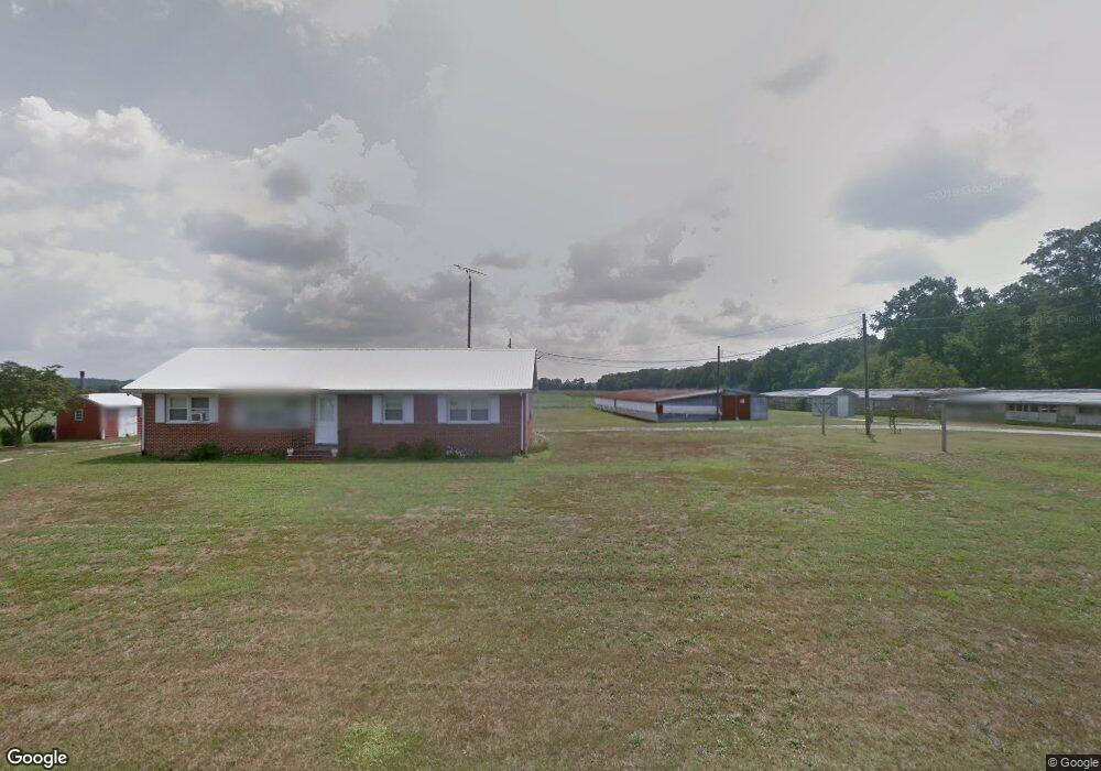
19135 Lowes Rd Millsboro, DE 19966
Estimated Value: $271,592 - $323,000
3
Beds
--
Bath
1,104
Sq Ft
$275/Sq Ft
Est. Value
About This Home
This home is located at 19135 Lowes Rd, Millsboro, DE 19966 and is currently estimated at $303,898, approximately $275 per square foot. 19135 Lowes Rd is a home with nearby schools including East Millsboro Elementary School, Millsboro Middle School, and Sussex Central High School.
Ownership History
Date
Name
Owned For
Owner Type
Purchase Details
Closed on
Jul 8, 2019
Sold by
Lowe Michael P
Bought by
Carey Brittany L and Carey Andrew L
Current Estimated Value
Home Financials for this Owner
Home Financials are based on the most recent Mortgage that was taken out on this home.
Original Mortgage
$65,000
Outstanding Balance
$56,946
Interest Rate
3.82%
Mortgage Type
New Conventional
Estimated Equity
$246,952
Purchase Details
Closed on
Jul 2, 2012
Sold by
Michael P Michael P
Bought by
Lowe Michael P
Create a Home Valuation Report for This Property
The Home Valuation Report is an in-depth analysis detailing your home's value as well as a comparison with similar homes in the area
Home Values in the Area
Average Home Value in this Area
Purchase History
| Date | Buyer | Sale Price | Title Company |
|---|---|---|---|
| Carey Brittany L | -- | -- | |
| Lowe Michael P | -- | -- | |
| Lowe Michael P | -- | -- |
Source: Public Records
Mortgage History
| Date | Status | Borrower | Loan Amount |
|---|---|---|---|
| Open | Lowe Michael P | $65,000 |
Source: Public Records
Tax History Compared to Growth
Tax History
| Year | Tax Paid | Tax Assessment Tax Assessment Total Assessment is a certain percentage of the fair market value that is determined by local assessors to be the total taxable value of land and additions on the property. | Land | Improvement |
|---|---|---|---|---|
| 2025 | $544 | $19,250 | $1,500 | $17,750 |
| 2024 | $542 | $19,250 | $1,500 | $17,750 |
| 2023 | $542 | $19,250 | $1,500 | $17,750 |
| 2022 | $533 | $19,250 | $1,500 | $17,750 |
| 2021 | $518 | $19,250 | $1,500 | $17,750 |
| 2020 | $495 | $19,250 | $1,500 | $17,750 |
| 2019 | $776 | $19,250 | $1,500 | $17,750 |
| 2018 | $795 | $19,250 | $0 | $0 |
| 2017 | $801 | $19,250 | $0 | $0 |
| 2016 | $714 | $19,250 | $0 | $0 |
| 2015 | $734 | $19,250 | $0 | $0 |
| 2014 | $724 | $19,250 | $0 | $0 |
Source: Public Records
Map
Nearby Homes
- 37007 Peanut Tingle Rd
- 18321 Line Church Rd
- 37485 Millsboro Hwy
- 8661 Whitesville Rd
- 36265 Pear Tree Rd
- 37245 Firemans Rd
- 34280 Graham Cir
- 22240 Good Flocking Way
- 8923 Star Rd
- 33737 Bob Smith Rd
- 15337 Russell Rd
- Lot 1 Pear Tree Rd
- 0 Bob Smith Rd Unit MDWC2020168
- 0 Bob Smith Rd Unit MDWC2020170
- 8142 Burnt Mill Rd
- 37000 Brittingham Rd
- 36555 Sheppards Crossing Rd
- 0 Laurel Rd Unit DESU2099790
- 0 Casher Wells Rd
- 0 Pepperbox Rd Unit DESU2097370
- 19169 Lowes Rd
- 19190 Lowes Rd
- 19193 Lowes Rd
- 19222 Lowes Rd
- 18997 Lowes Rd
- 18975 Lowes Rd
- 19304 Lowes Rd
- 19304 Lowes Rd
- 19344 Lowes Rd
- 18875 Whitesville Rd
- 18585 Whitesville Rd
- 18585 Whitesville Rd
- 18528 Whitesville Rd
- 18801 Truitt Rd
- 37033 Peanut Tingle Rd
- 18861 Whitesville Rd
- 18981 Kenny Rd
- 18288 Whitesville Rd
- 18897 Whitesville Rd
- Lot #46 Farm Ln