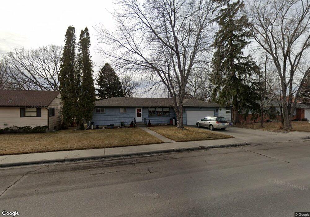
1914 Colton Blvd Billings, MT 59102
North Central Billings NeighborhoodEstimated Value: $318,000 - $353,000
4
Beds
2
Baths
1,248
Sq Ft
$273/Sq Ft
Est. Value
About This Home
This home is located at 1914 Colton Blvd, Billings, MT 59102 and is currently estimated at $340,295, approximately $272 per square foot. 1914 Colton Blvd is a home located in Yellowstone County with nearby schools including Rose Park School, Lewis & Clark Junior High School, and Billings Senior High School.
Ownership History
Date
Name
Owned For
Owner Type
Purchase Details
Closed on
Sep 27, 2007
Sold by
Andrews Michael J and Andrews Judith G H
Bought by
Onan Robyn M and Bees Robert E
Current Estimated Value
Home Financials for this Owner
Home Financials are based on the most recent Mortgage that was taken out on this home.
Original Mortgage
$136,500
Interest Rate
6.61%
Mortgage Type
Purchase Money Mortgage
Create a Home Valuation Report for This Property
The Home Valuation Report is an in-depth analysis detailing your home's value as well as a comparison with similar homes in the area
Home Values in the Area
Average Home Value in this Area
Purchase History
| Date | Buyer | Sale Price | Title Company |
|---|---|---|---|
| Onan Robyn M | -- | None Available |
Source: Public Records
Mortgage History
| Date | Status | Borrower | Loan Amount |
|---|---|---|---|
| Open | Onan Robyn M | $136,500 |
Source: Public Records
Tax History Compared to Growth
Tax History
| Year | Tax Paid | Tax Assessment Tax Assessment Total Assessment is a certain percentage of the fair market value that is determined by local assessors to be the total taxable value of land and additions on the property. | Land | Improvement |
|---|---|---|---|---|
| 2025 | $2,545 | $323,100 | $54,363 | $268,737 |
| 2024 | $2,545 | $261,200 | $51,699 | $209,501 |
| 2023 | $2,552 | $261,200 | $51,699 | $209,501 |
| 2022 | $2,486 | $224,700 | $0 | $0 |
| 2021 | $2,367 | $224,700 | $0 | $0 |
| 2020 | $2,229 | $201,900 | $0 | $0 |
| 2019 | $2,128 | $201,900 | $0 | $0 |
| 2018 | $2,032 | $188,900 | $0 | $0 |
| 2017 | $1,749 | $188,900 | $0 | $0 |
| 2016 | $1,849 | $178,800 | $0 | $0 |
| 2015 | $1,808 | $178,800 | $0 | $0 |
| 2014 | $1,633 | $85,489 | $0 | $0 |
Source: Public Records
Map
Nearby Homes
- 1944 Colton Blvd
- 2124 Dahlia Ln
- 1833 Iris Ln
- 1734 Mariposa Ln
- 2414 Ivy Ln
- 2035 Avenue D
- 2510 Terrace Dr
- 2020 Plaza Dr
- 1607 21st St W
- 9 Stanford Ct
- 2718 Terrace Dr
- 46 Shadow Place Unit 6B
- 2230 Avenue C
- 2030 Rimrock Rd
- 2260 Avenue C
- 2618 Sunnyview Ln
- 1505 Avenue F
- 2219 Avenue B
- 6 Heatherwood Ln
- 2042 Green Terrace Dr
- 1908 Colton Blvd
- 1920 Colton Blvd
- 1911 Beverly Hill Blvd
- 1921 Beverly Hill Blvd
- 2014 19th St W
- 1926 Colton Blvd
- 1907 Beverly Hill Blvd
- 2103 Dahlia Ln
- 1927 Beverly Hill Blvd
- 1901 Beverly Hill Blvd
- 1932 Colton Blvd
- 2108 Dahlia Ln
- 2113 Dahlia Ln
- 1933 Beverly Hill Blvd
- 2112 Dahlia Ln
- 2112 Hoover Ave
- 1938 Colton Blvd
- 1916 Beverly Hill Blvd
- 1920 Beverly Hill Blvd
- 1910 Beverly Hill Blvd