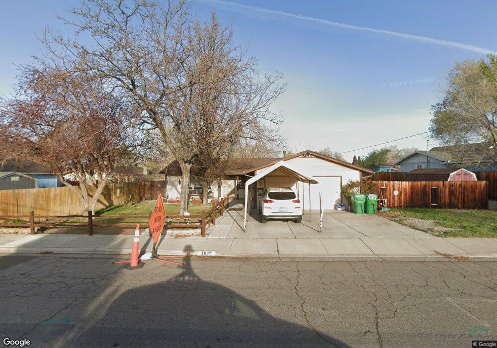
1915 Boise Dr Sparks, NV 89431
McCarran Boulevard-Probasco NeighborhoodEstimated Value: $430,000 - $434,000
3
Beds
2
Baths
1,300
Sq Ft
$333/Sq Ft
Est. Value
About This Home
This home is located at 1915 Boise Dr, Sparks, NV 89431 and is currently estimated at $432,485, approximately $332 per square foot. 1915 Boise Dr is a home located in Washoe County with nearby schools including Greenbrae Elementary School, George L Dilworth Middle School, and Sparks High School.
Ownership History
Date
Name
Owned For
Owner Type
Purchase Details
Closed on
Dec 7, 2023
Sold by
Henderson Sue Ellen
Bought by
Henderson Living Trust and Henderson
Current Estimated Value
Purchase Details
Closed on
Aug 8, 1997
Sold by
Harrison Sam D and Harrison Twyla
Bought by
Henderson Jerry Dale and Henderson Sue Ellen
Create a Home Valuation Report for This Property
The Home Valuation Report is an in-depth analysis detailing your home's value as well as a comparison with similar homes in the area
Home Values in the Area
Average Home Value in this Area
Purchase History
| Date | Buyer | Sale Price | Title Company |
|---|---|---|---|
| Henderson Living Trust | -- | None Listed On Document | |
| Henderson Jerry Dale | $123,000 | Founders Title Co |
Source: Public Records
Tax History Compared to Growth
Tax History
| Year | Tax Paid | Tax Assessment Tax Assessment Total Assessment is a certain percentage of the fair market value that is determined by local assessors to be the total taxable value of land and additions on the property. | Land | Improvement |
|---|---|---|---|---|
| 2025 | $1,375 | $61,582 | $36,715 | $24,867 |
| 2024 | $1,375 | $60,495 | $34,755 | $25,740 |
| 2023 | $1,250 | $57,752 | $34,930 | $22,822 |
| 2022 | $1,218 | $47,965 | $28,455 | $19,510 |
| 2021 | $1,184 | $39,557 | $19,635 | $19,922 |
| 2020 | $1,094 | $38,752 | $17,850 | $20,902 |
| 2019 | $1,061 | $39,354 | $18,725 | $20,629 |
| 2018 | $1,032 | $34,120 | $13,545 | $20,575 |
| 2017 | $1,001 | $33,068 | $12,075 | $20,993 |
| 2016 | $975 | $33,335 | $11,550 | $21,785 |
| 2015 | $975 | $31,564 | $9,415 | $22,149 |
| 2014 | $946 | $29,678 | $7,980 | $21,698 |
| 2013 | -- | $27,700 | $5,985 | $21,715 |
Source: Public Records
Map
Nearby Homes
- 8 E O St
- 10 Sheridan Way
- 1703 1st St
- 370 O'Brien Way
- 385 Gleeson Way
- 1940 4th St Unit 20
- 1940 4th St Unit 51
- 119 Devere Way
- 3071 Meadowlands Dr
- 1945 4th St Unit 32
- 1945 4th St Unit 33
- 1945 4th St Unit 10
- 120 E Lenwood Dr
- 745 Glen Vista Dr
- 300 I St
- 3104 Sandy St
- 1973 Rio Tinto Dr
- 848 Parkside Dr Unit 1
- 949 Crestwood Dr Unit 3
- 913 Glen Molly Dr